UAV RTK OEM Solutions for Precision Mapping | Exporters & Factory Services
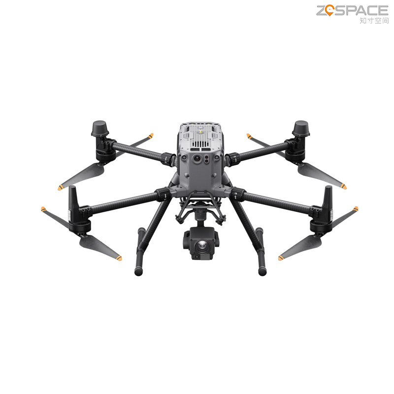
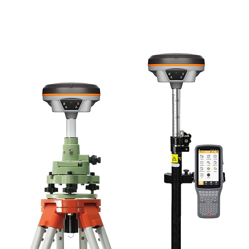
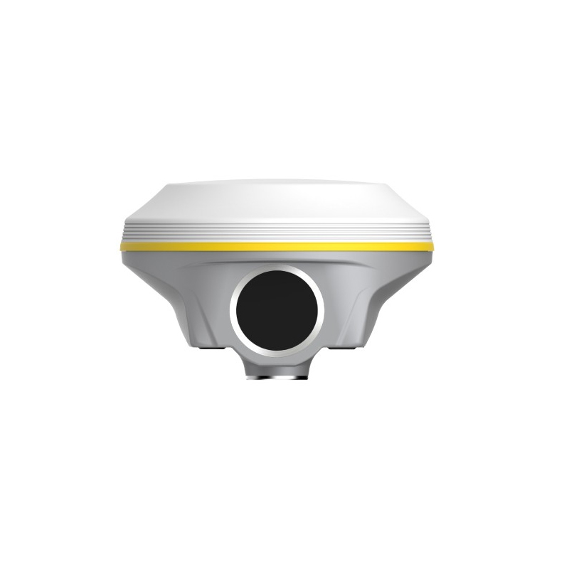
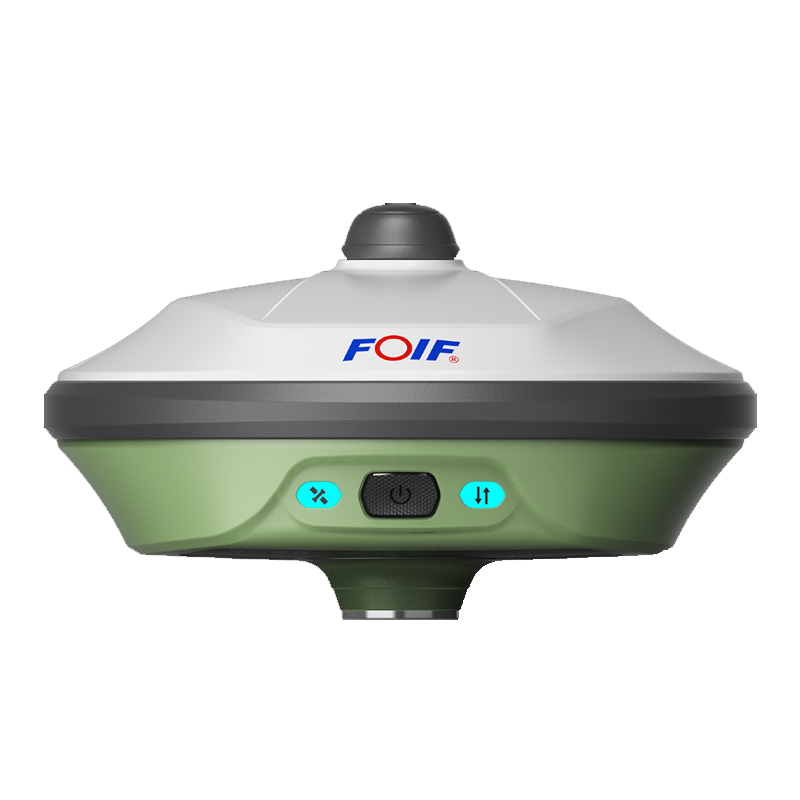
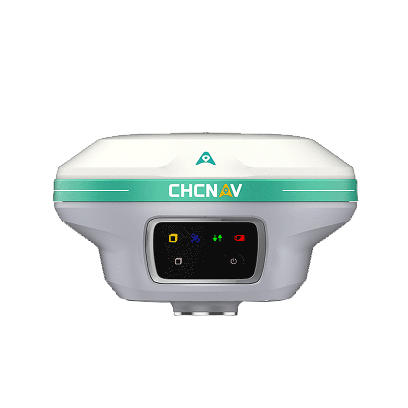
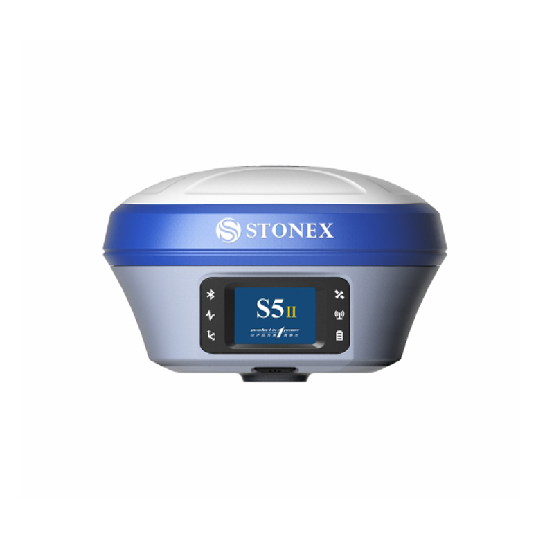
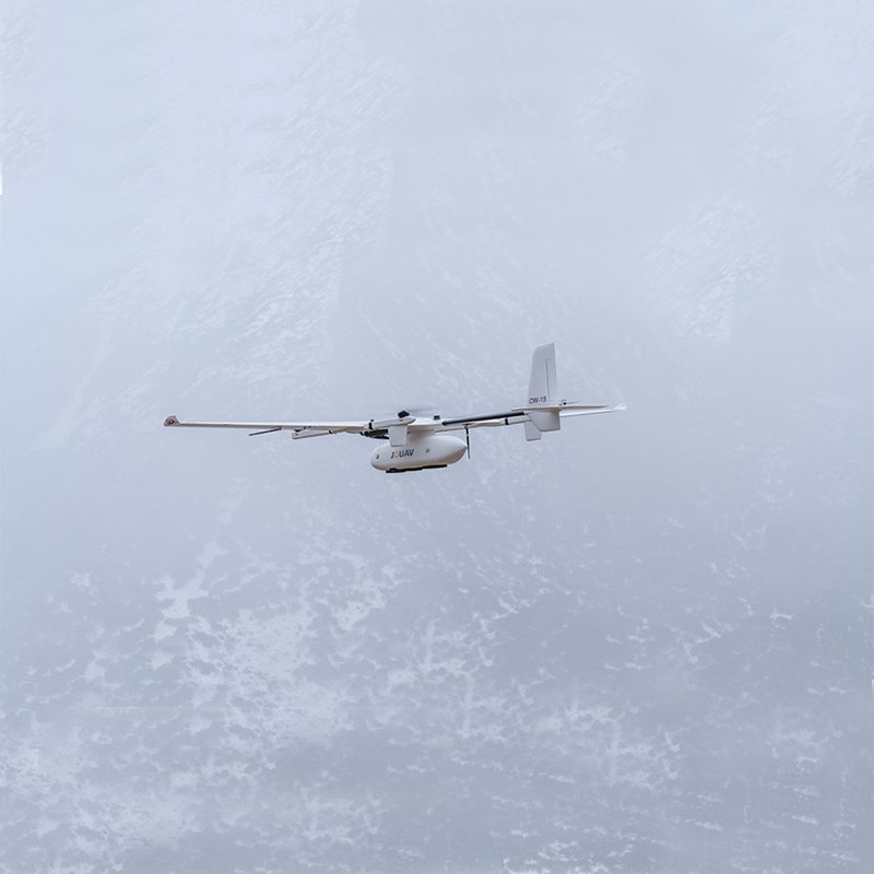
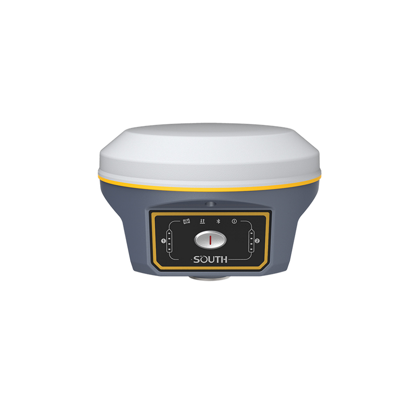
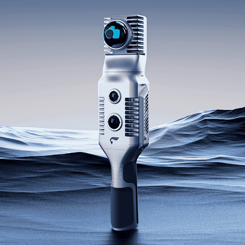
The UAV RTK solution from Chengdu Zhicun Space Surveying Instrument Co., Ltd. offers exceptional precision for aerial surveying. Utilizing advanced real-time kinematic (RTK) technology, this system achieves centimeter-level accuracy, ideal for topographic mapping, construction monitoring, and agricultural assessments. Equipped with high-quality sensors and a high-definition camera, it ensures thorough data collection across diverse terrains. The user-friendly software enables smooth flight planning and efficient data processing, allowing users to rapidly generate accurate maps and models. Its lightweight design and long battery life provide operational flexibility, extending flight times for broader reconnaissance. This solution streamlines workflows and significantly reduces both time and costs compared to traditional surveying techniques. Chengdu Zhicun's focus on innovation guarantees users access to cutting-edge technology, empowering informed decisions based on precise geospatial data.