Products
Outdoor Lidar 3D Scanning LiGrip H300 Handheld SLAM Rotary Laser Scanner for Survey Equipment Engineering
The LiGrip H300 handheld laser scanner is a 3D laser scanning device with outstanding performance and powerful functions. Here is a detailed evaluation of the product:
LiGrip H120 SLAM Handheld Laser Lidar Scanning 3D Scanner for Survey Equipment Engineering Scanner
The LiGrip H120 handheld scanner from Digital Green Soil is a device with excellent performance and comprehensive functions. Here is a detailed evaluation of the device:
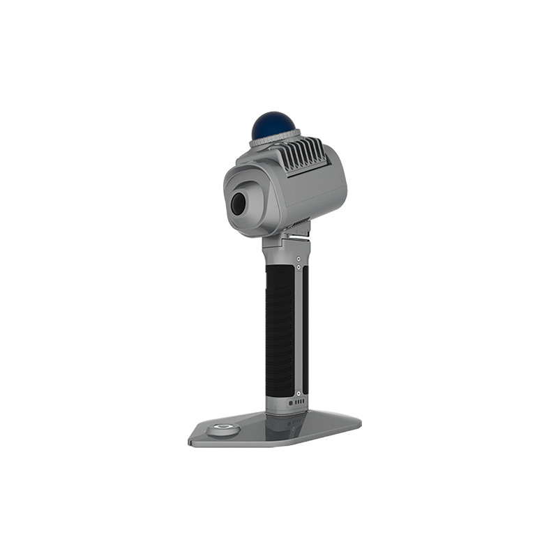
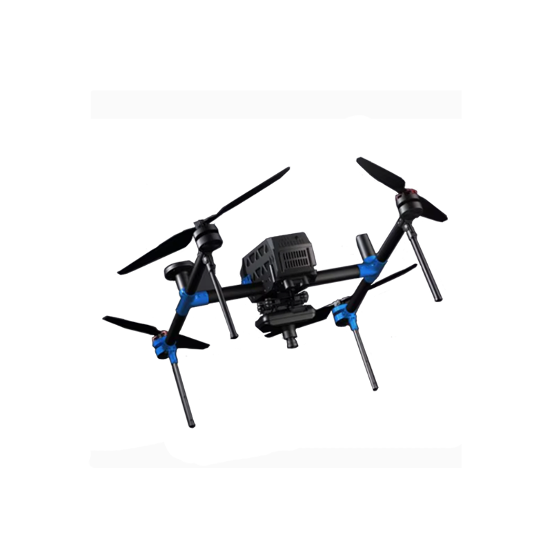
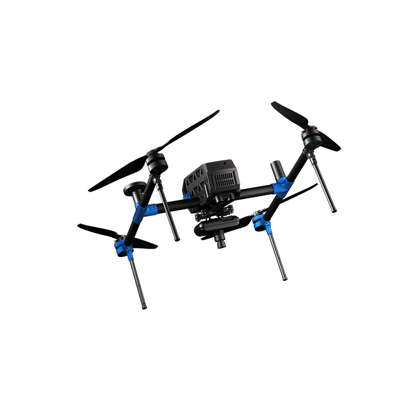
LiGrip O1 Lite Rotary Handheld Scanner with HD Camera Rotating Handheld SLAM LiDAR System Scanner
The following is the English translation of the given text:
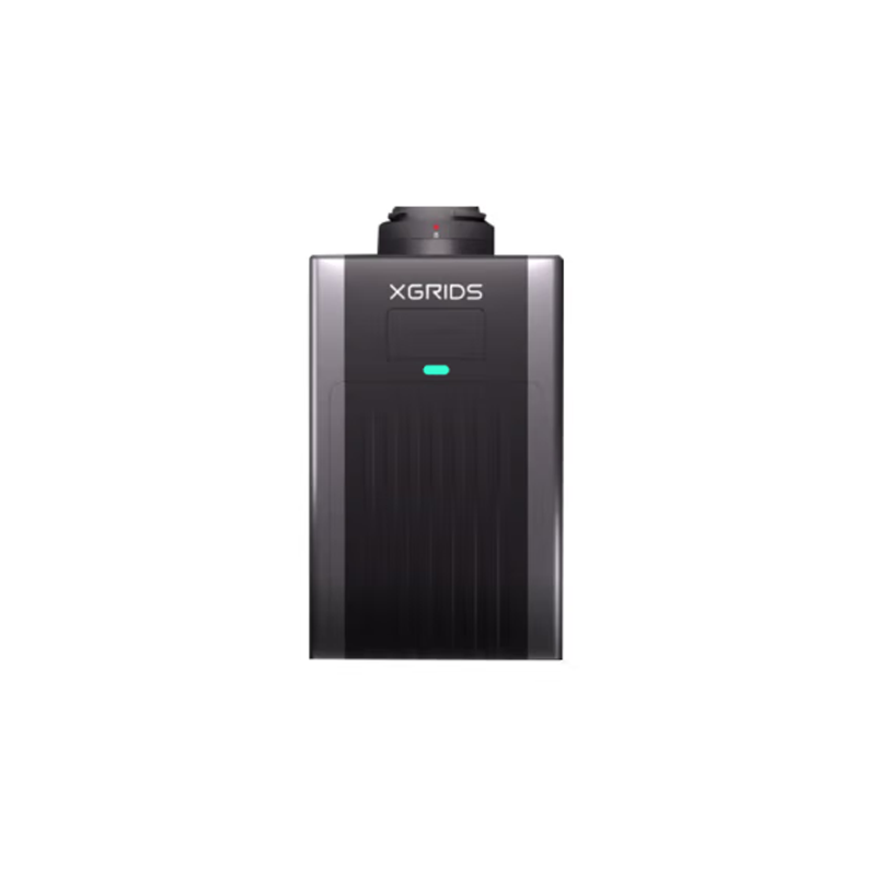
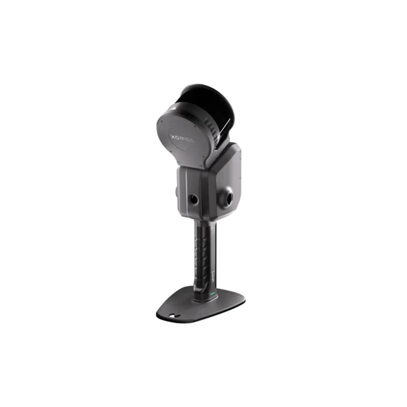
LixelSky S1 Surveying Equipment Scanner Cheap Price Hanhheld 3D Scanner Navigation LiDAR Waterproof Laser Scanner
xgrids LixelSky S1 is an outstanding multi-source perception emergency mapping device. Here is a detailed evaluation of it:
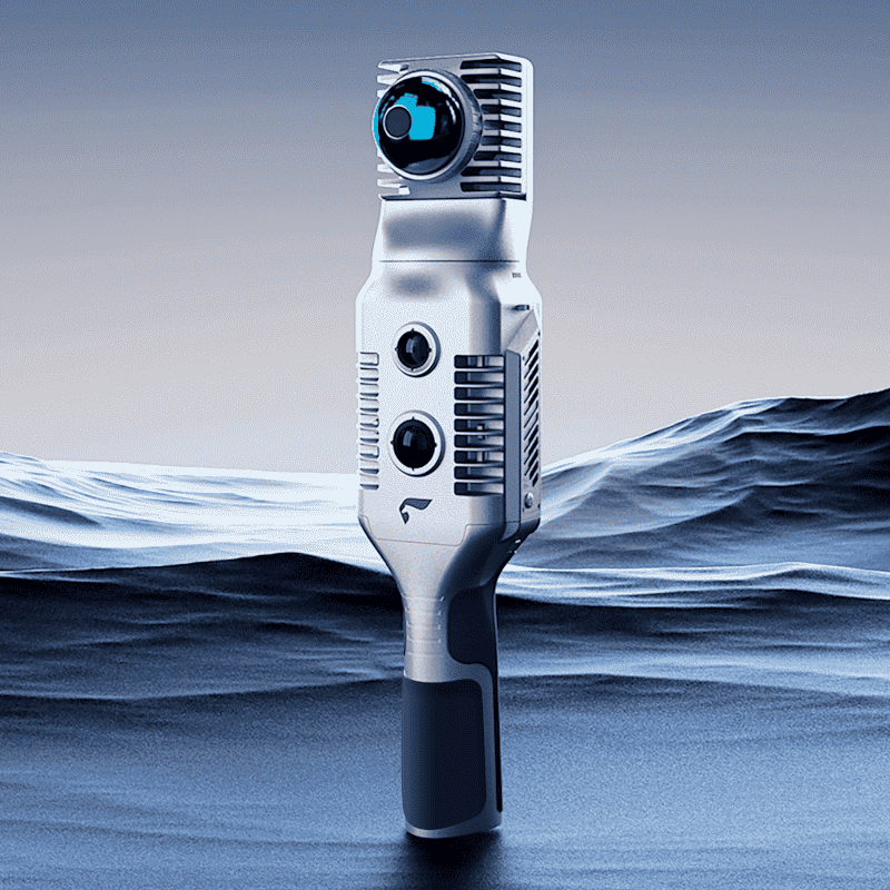
LixelSky K1 Surveying Equipment Scanner Cheap Price Hanhheld 3D Scanner Navigation LiDAR Waterproof Laser Scanner
The xgrids LixelSky K1 is a highly acclaimed compact handheld 3D scanning and modeling device. Here is a detailed evaluation of it:
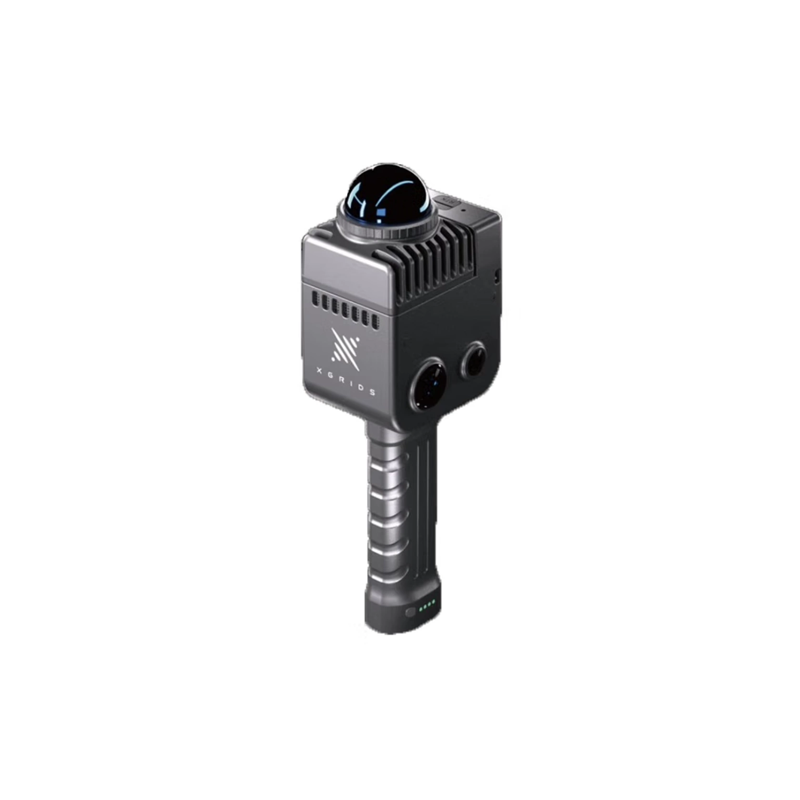
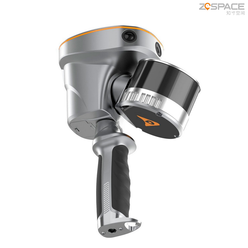
xgrids Lixel L2 Handheld 3D Laser Scanner Scan Rate of 320,000pts/s Laser Scanner for Survey Engineering
The xgrids Lixel L2/32 handheld 3D scanner is a device with excellent performance and powerful functions. The following is a detailed evaluation of it:
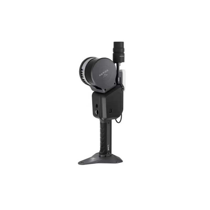
xgrids Lixel L2PRO Handheld 3D Laser Scanner Scan Rate of 320,000pts/s Laser Scanner for Survey Engineering
The xgrids Lixel L2 PRO handheld scanner is an outstanding device for 3D real-time scanning and modeling. Below is a detailed evaluation of this device:
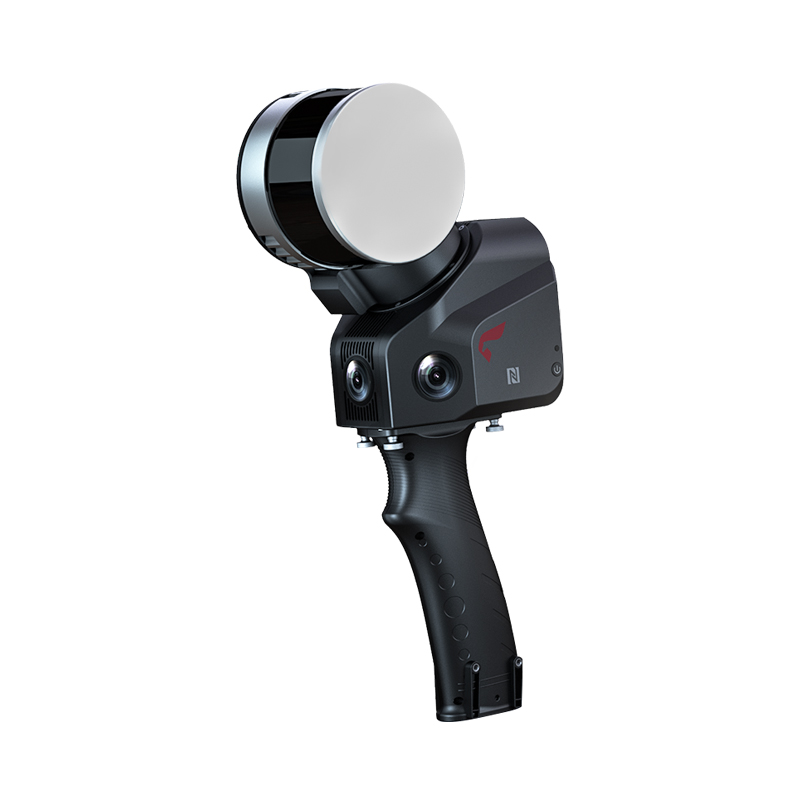
CHC RS10 Handheld Slam Laser AR visual Scanning Surveying with High Accuracy and Good Price GNSS RTK System Instrument
CHCNAV RS10 is the 1 high-performance handheld 3D laser scanner. It integrates GNSS-RTK technology, laser scanning SLAM technology and visual positioning technology to provide users with high-precision and high-efficiency mapping solutions.
Price: 100$
Feima Slam 2000 High Precision 3D Laser Scanner GPS RTK GNSS Test Instrument with High Accuracy
Pegasus SLAM2000 is a high-performance handheld LiDAR scanner that integrates multiple advanced technologies such as LiDAR positioning, visual positioning, SLAM (Simultaneous Localization and Mapping), and GNSS (Global Navigation Satellite System), providing users with efficient and precise solutions for three-dimensional measurement and modeling.
Price: 100$
FEIMA Industry-Level SLAM100 Handheld Laser Scanner Automatic Control SLAM 3D Point Cloud Data
SLAM100 is the first handheld mobile lidar scanner launched by Feima Robotics. The system has a 360° rotating head, which can form a 270°×360° point cloud coverage. Combined with the industry-level SLAM algorithm, it can obtain high-precision three-dimensional point cloud data of the surrounding environment without light and GPS.
Price: 100$