Affordable RTK UAVs from Leading Manufacturers | Best Prices Online
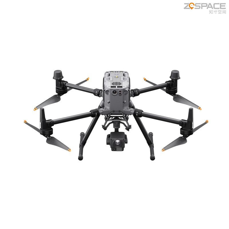
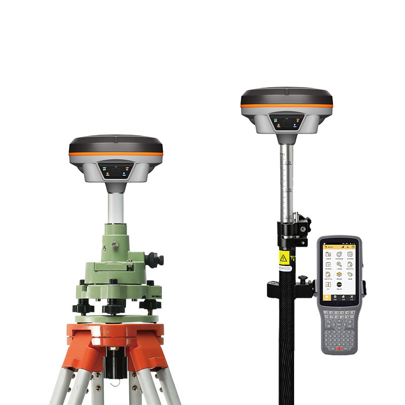
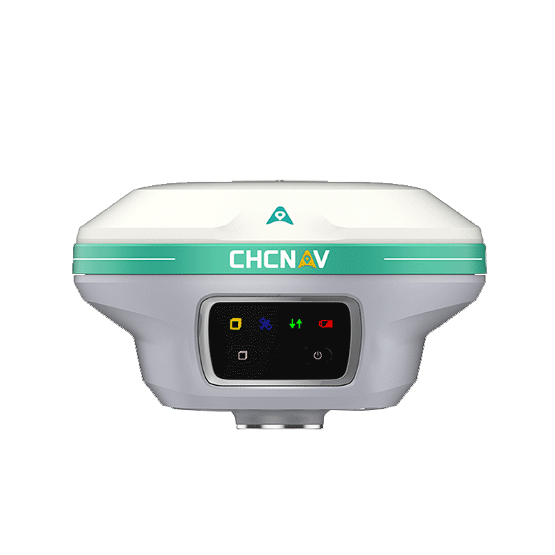
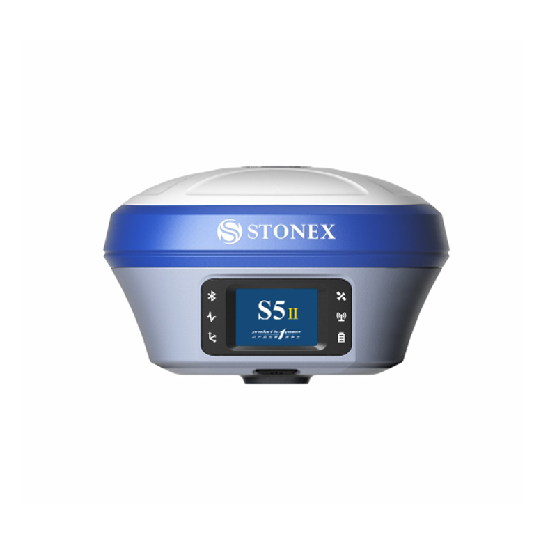
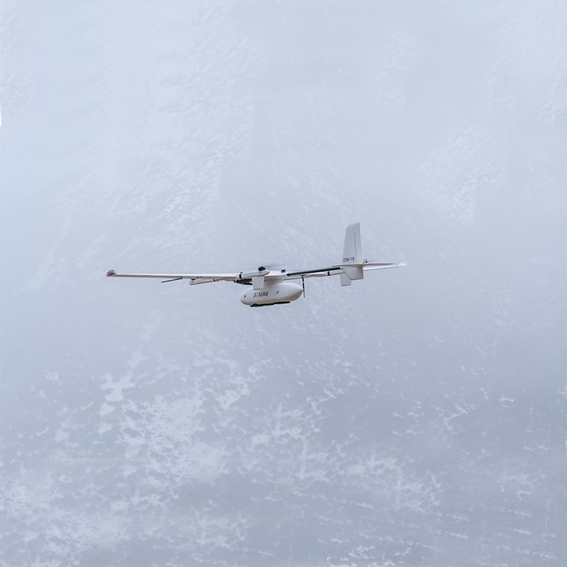
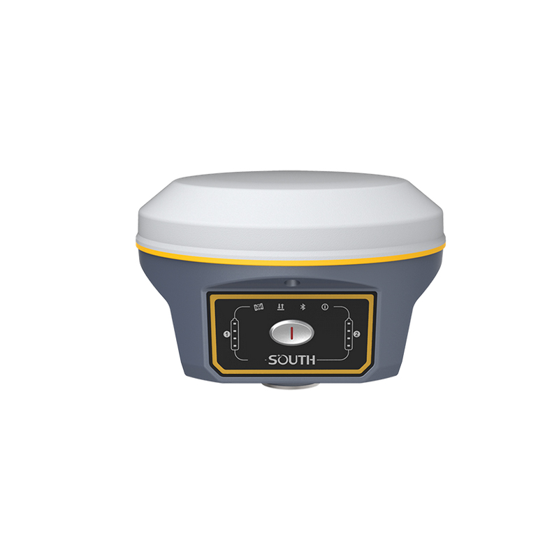
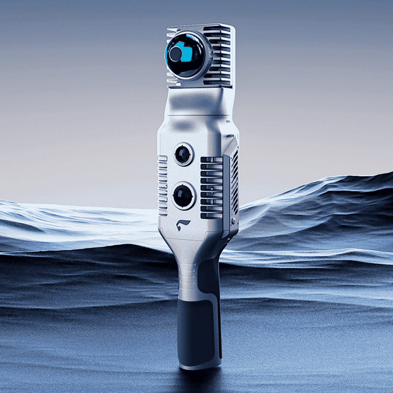
Rtk UAV technology revolutionizes high-precision surveying and mapping, significantly improving efficiency and accuracy across various sectors. Developed by Chengdu Zhicun Space Surveying Instrument Co., Ltd., this advanced unmanned aerial vehicle (UAV) integrates seamlessly with GNSS (Global Navigation Satellite System) technology. With real-time kinematic (RTK) capabilities, the Rtk UAV achieves centimeter-level positioning accuracy, making it ideal for civil engineering, agriculture, construction, and environmental monitoring. Its lightweight design and user-friendly control interface ensure straightforward deployment and operation, enabling users to capture high-resolution aerial imagery and data effortlessly. With comprehensive data processing software, users can analyze and visualize collected information, enhancing project workflows. Chengdu Zhicun Space Surveying Instrument Co., Ltd. is dedicated to providing innovative solutions that empower professionals to achieve their objectives with confidence and precision.