Top Exporters of Quality RTK Systems - Reliable Solutions for Precision Positioning
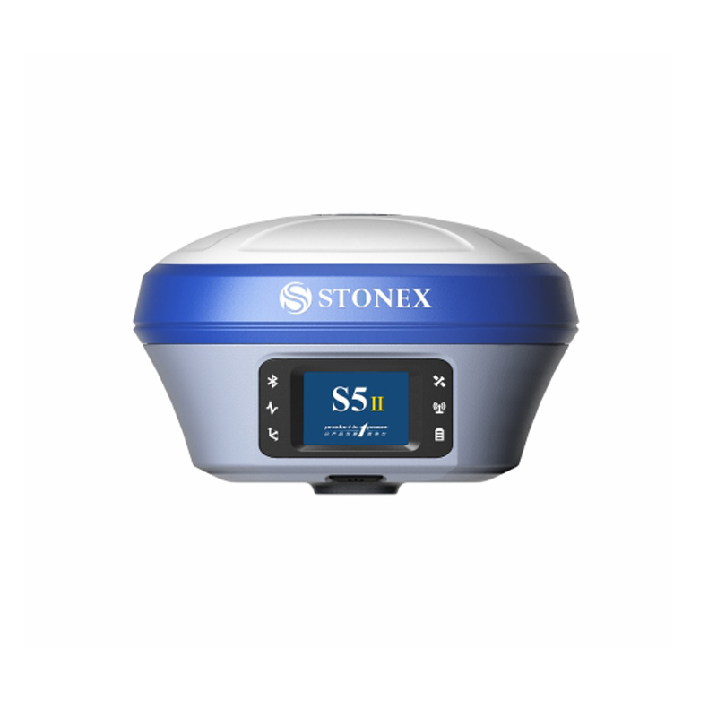
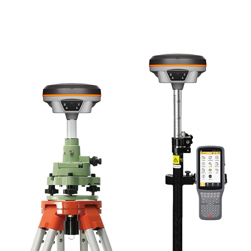
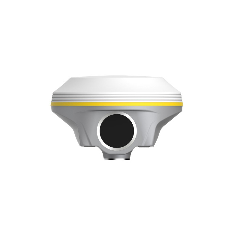
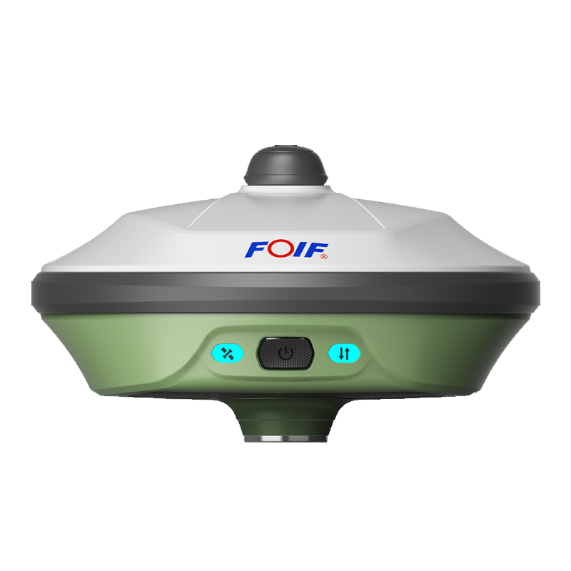
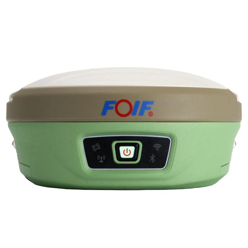
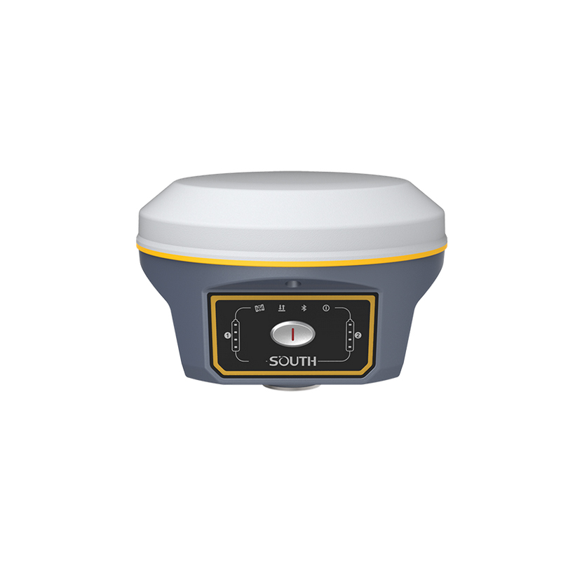
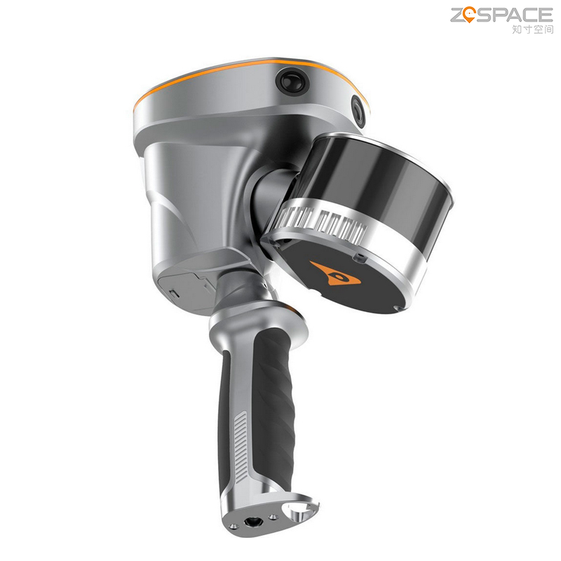
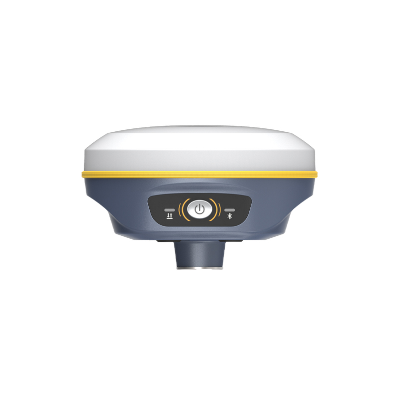
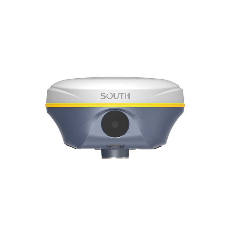
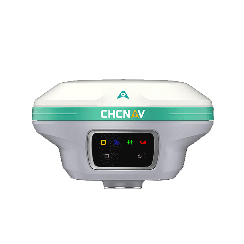
The RTK System by Chengdu Zhicun Space Surveying Instrument Co., Ltd. exemplifies advanced technology in precision surveying and geospatial data collection. Tailored for professionals in civil engineering, construction, and land surveying, this system provides real-time kinematic positioning with centimeter-level accuracy. Its state-of-the-art GNSS capabilities ensure dependable data acquisition even in challenging environments, making it ideal for mapping, topographic surveys, and infrastructure monitoring. With a user-friendly interface and robust performance, it seamlessly integrates into existing workflows to enhance productivity and efficiency. Built to endure harsh conditions, the RTK System features durable materials and a long-lasting battery for consistent reliability in the field. Offering diverse connectivity options for various communication methods, it adapts to different project needs. Experience exceptional accuracy and efficiency in surveying tasks with the RTK System, where innovative design meets the practical requirements of the modern surveying professional.