Top RTK NTRIP Solutions Direct from Leading Supplier & Factory at Competitive Prices
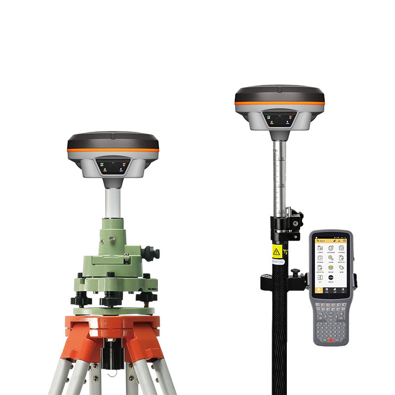
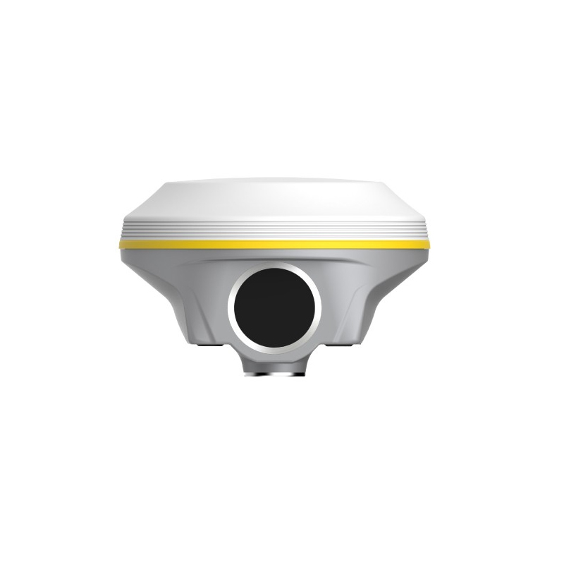
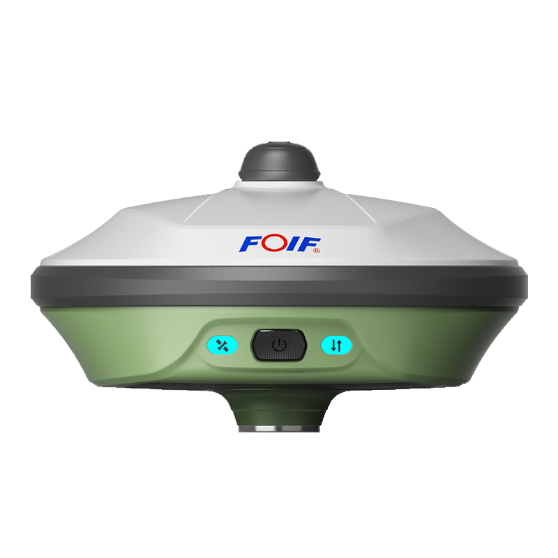
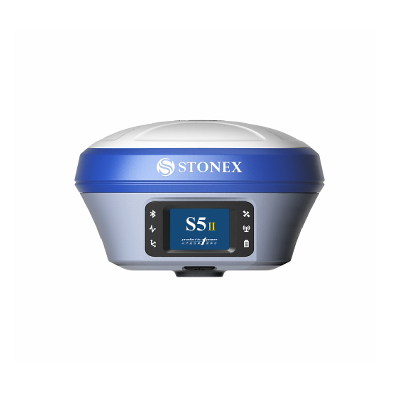
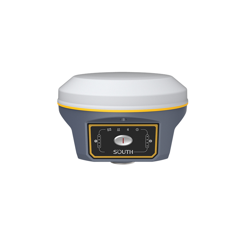
Enhance your spatial technology capabilities with the RTK NTRIP system from Chengdu Zhicun Space Surveying Instrument Co., Ltd. This state-of-the-art solution ensures pinpoint accuracy for various applications, including surveying, construction, and agriculture. By combining Real-Time Kinematic (RTK) positioning with the NTRIP (Networked Transport of RTCM via Internet Protocol) protocol, our devices deliver centimeter-level precision in real-time. Engineered for user-friendliness and robust performance, they maintain reliable connectivity even in the most challenging environments. With seamless data transmission and advanced algorithms, these systems excel in dynamic conditions. Rigorous testing reflects Chengdu Zhicun's commitment to quality, providing durable and dependable tools for your projects. Whether enhancing surveying workflows or boosting agricultural efficiency, our RTK NTRIP systems are designed to meet your needs with precision and reliability.