RTK GPS Drone OEM & Exporters - Leading Manufacturers for High-Quality Drones
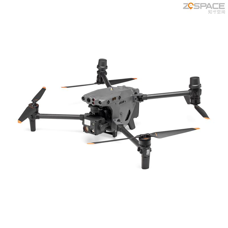
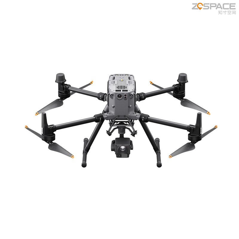
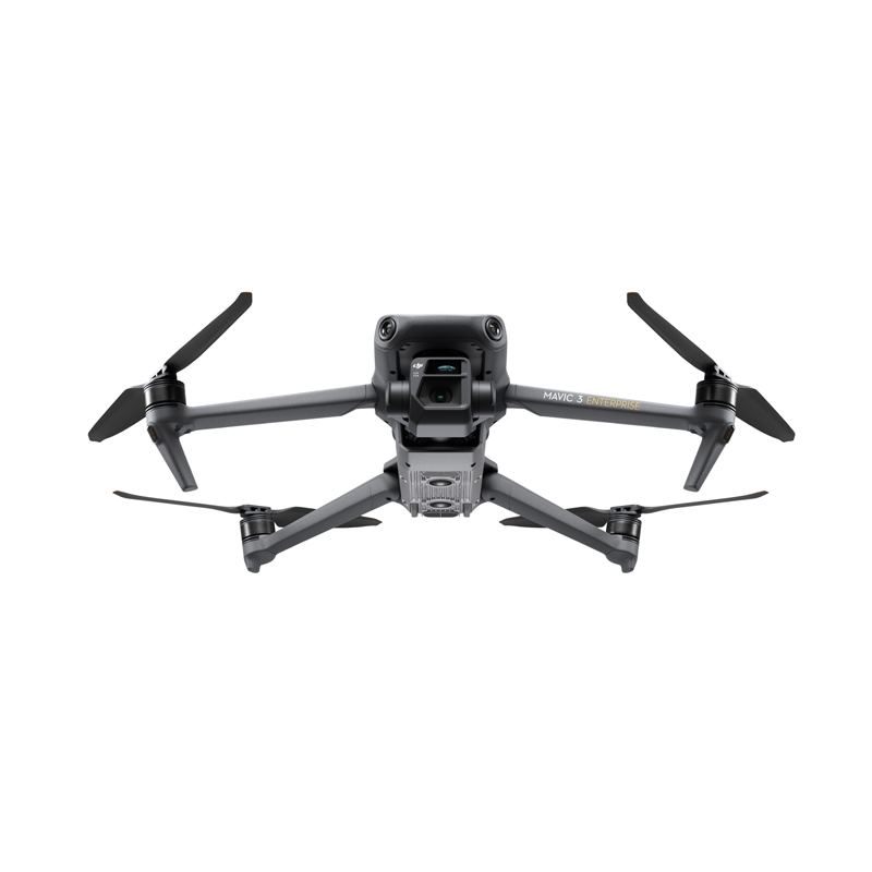
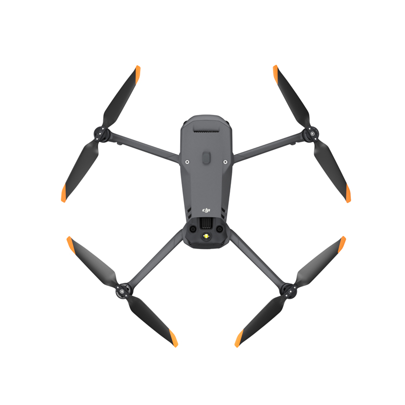
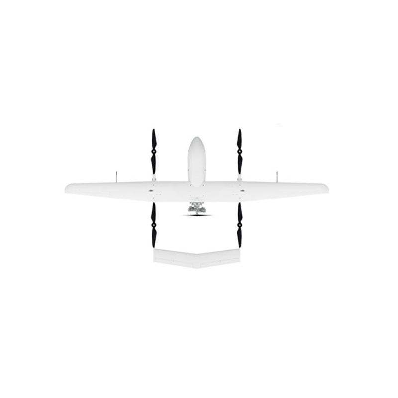
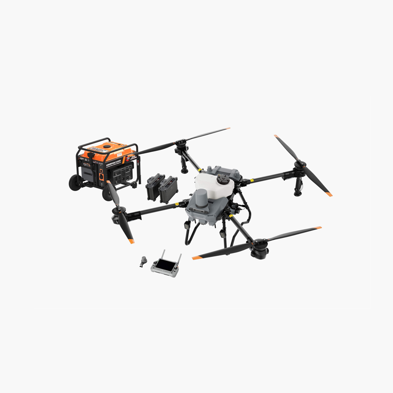
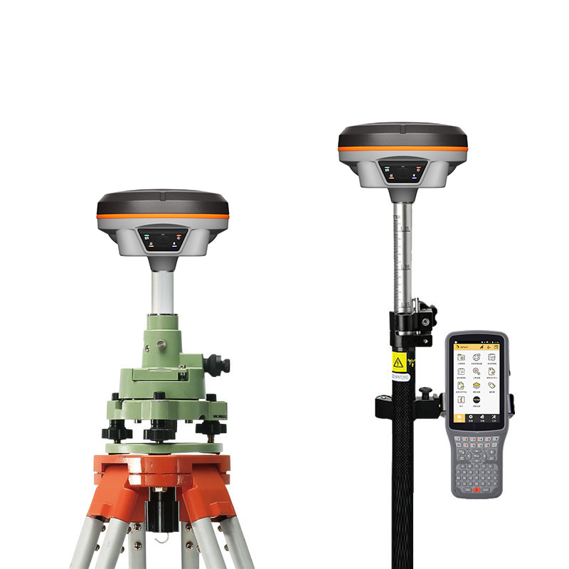
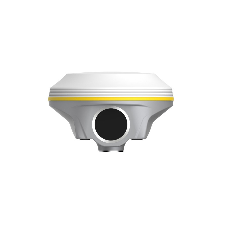
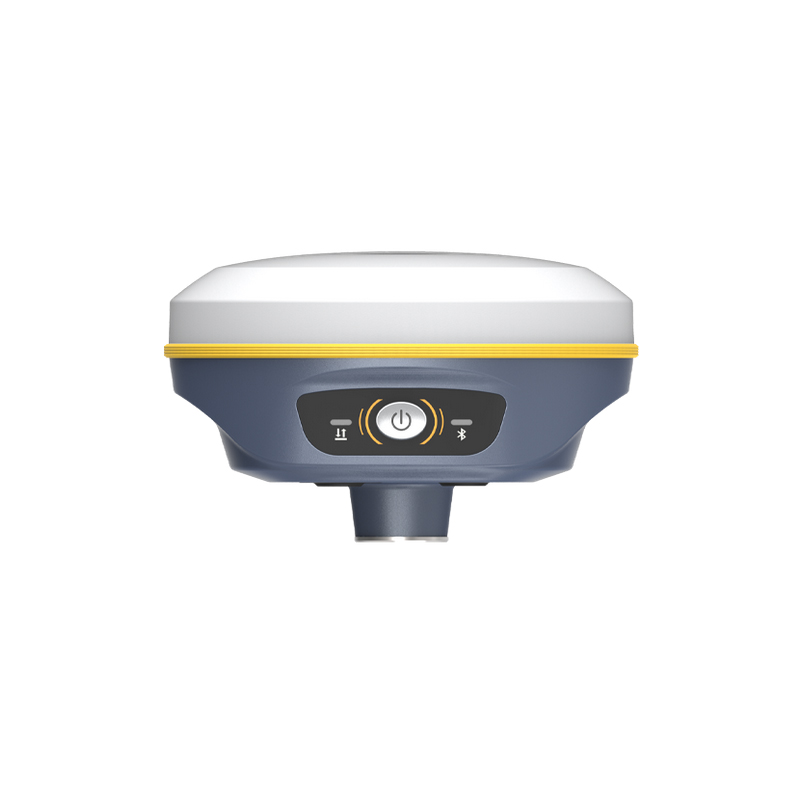
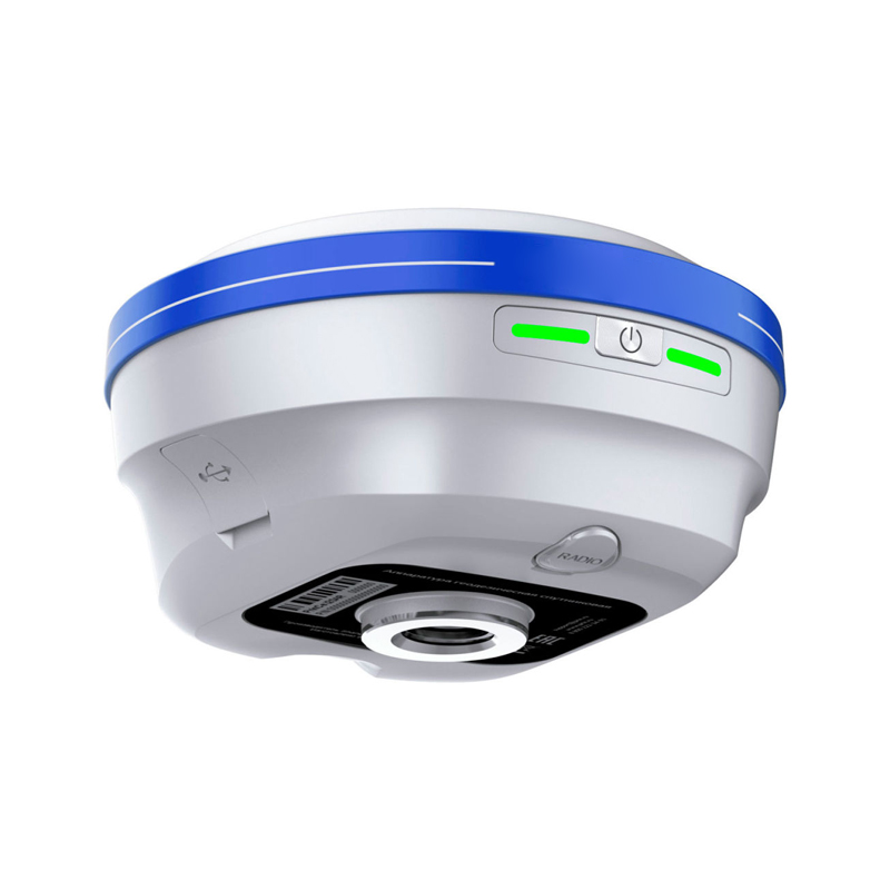
Elevate your surveying projects with the RTK GPS Drone by Chengdu Zhicun Space Surveying Instrument Co., Ltd. This state-of-the-art drone combines advanced RTK (Real-Time Kinematic) technology to deliver exceptional positioning and mapping accuracy. It serves as an invaluable tool for professionals in agriculture, construction, and land surveying, achieving centimeter-level precision over large areas. Featuring an intuitive interface, the drone is user-friendly, making it accessible for beginners in aerial surveying. Its rugged design ensures reliable performance in varied environments and weather conditions. With high-resolution cameras and innovative sensors, this RTK GPS Drone offers real-time data processing, enabling prompt decision-making. Chengdu Zhicun Space Surveying Instrument Co., Ltd. is committed to innovation and excellence, making this drone essential for contemporary surveying requirements. Experience the integration of cutting-edge technology and practicality, revolutionizing data capture and analysis tasks in the field.