


Southern Surveying and Mapping Released a New Generation of Miniaturized Portable RTK-G2 RTK, Leading the New Fashion of Measurement Technology
Today, with the rapid development of surveying and mapping technology, Southern Surveying and Mapping once again demonstrated its strength as an industry leader and officially launched a new generation of miniaturized portable RTK--G2 RTK. This product, which combines extreme ingenuity and advanced technology, not only inherits the classic quality of surveying and mapping in the south for many years, but also makes the surveying work simpler and lighter than ever before with innovative breakthroughs, marking the formal entry of RTK technology into a new era of IOT.
Extreme ingenuity, create a new sharp instrument of measurement
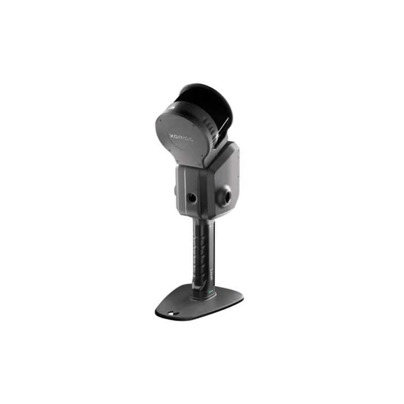
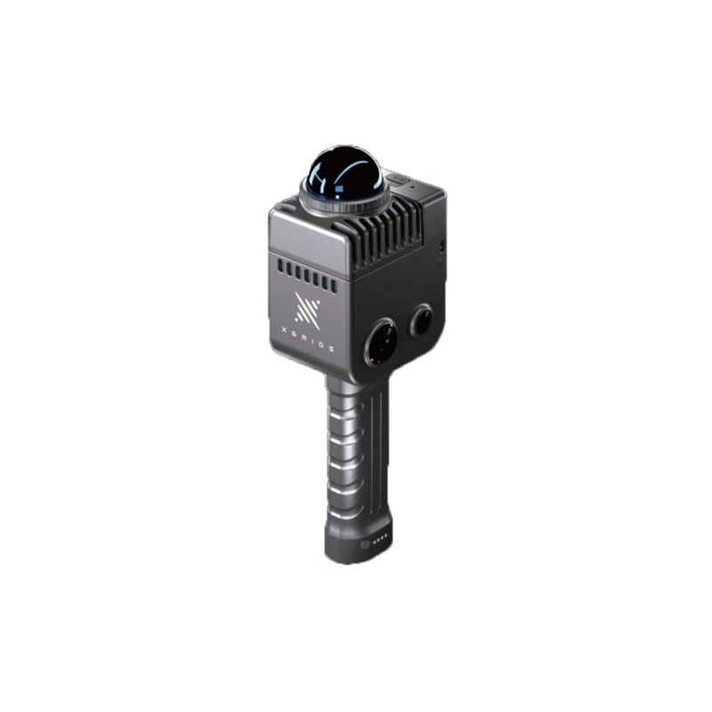
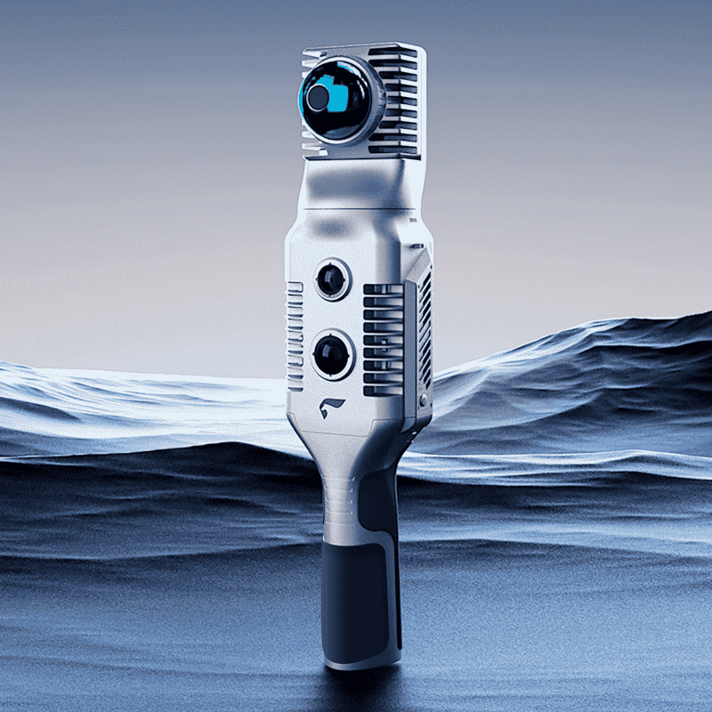
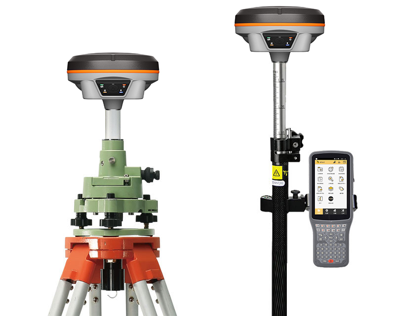
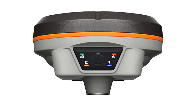
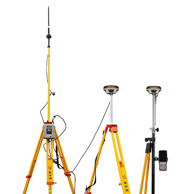
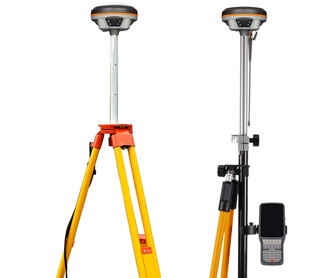
G2 RTK is a meticulous work of Southern Surveying and Mapping based on deep insight into market demand. It uses the most advanced integrated design, small size, light weight, greatly enhance the operator's portability and flexibility. Whether it is shuttling between urban buildings or deep into complex terrain for field operations, G2 RTK can easily cope with, so that the measurement is no longer subject to environmental restrictions.
Cloud Internet of Things, Comprehensive Upgrade of Service Network
The biggest highlight of G2 RTK is its built-in Internet of Things service platform. This innovative technology realizes the cloud-based and service networking of RTK applications. Users can enjoy one-stop services such as cloud storage, data processing, and real-time monitoring through simple operations. Whether it is the instant upload and analysis of data, or remote technical support and troubleshooting, it has become more convenient and efficient than ever before. This 1 a revolutionary change, which not only reduces the user's operation and maintenance costs, but also greatly improves work efficiency and data security.
Leading the Future, Opening the Internet of Things Era
With the release of G2 RTK, Southern Surveying and Mapping officially led RTK technology into the Internet of Things era. In this new era, measurement data is no longer an isolated information island, but a huge network of interconnection and resource sharing. Users can access cloud data through intelligent terminals anytime, anywhere, for cross-domain, cross-regional collaboration and data sharing. These 1 changes not only promote the digital transformation of the surveying and mapping industry, but also provide strong technical support for the development of smart cities, precision agriculture, environmental protection and other fields.
The release of the Southern Surveying and Mapping G2 RTK is an important milestone in the development of surveying and mapping technology. It creates excellent quality with extreme ingenuity and leads the future of the industry with scientific and technological innovation. We have reason to believe that with the help of G2 RTK, surveying and mapping work will become more efficient, accurate and convenient, and contribute more to economic and social development.
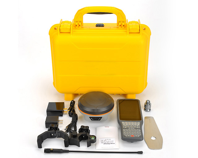
Southern Mapping G2 (specific model S750 G2) is the 1 high-performance GPS handheld data acquisition device designed to meet the data acquisition needs of various harsh environments. The following are the occasions where the equipment is suitable for use:
Geological exploration:
Geological exploration work is usually carried out under complex and changeable terrain and climate conditions. The high-precision positioning function, rugged design and long-term endurance of the S750 G2 make it an ideal choice for geological exploration personnel.
Surveying and mapping works:
Surveying and mapping engineering requires accurate measurement and recording of spatial information. S750 G2 has a professional measurement GPS positioning module and rich data acquisition functions, which can meet the needs of high-precision positioning and diversified data acquisition in surveying and mapping engineering.
Field work:
The field operation environment is complex and changeable, and the equipment