Southern Surveying and Mapping Launches Galaxy G3 RTK: Extreme Lightweight, Defining New Standards for Surveying and Mapping
The surveying and mapping industry has ushered in another 1 of innovative masterpieces. Southern Surveying and Mapping officially released its latest Galaxy G3 RTK equipment today, redefining the industry standard of surveying and mapping instruments with its extremely lightweight, beautiful and simple design and excellent performance.
Extremely lightweight, designed for the wild
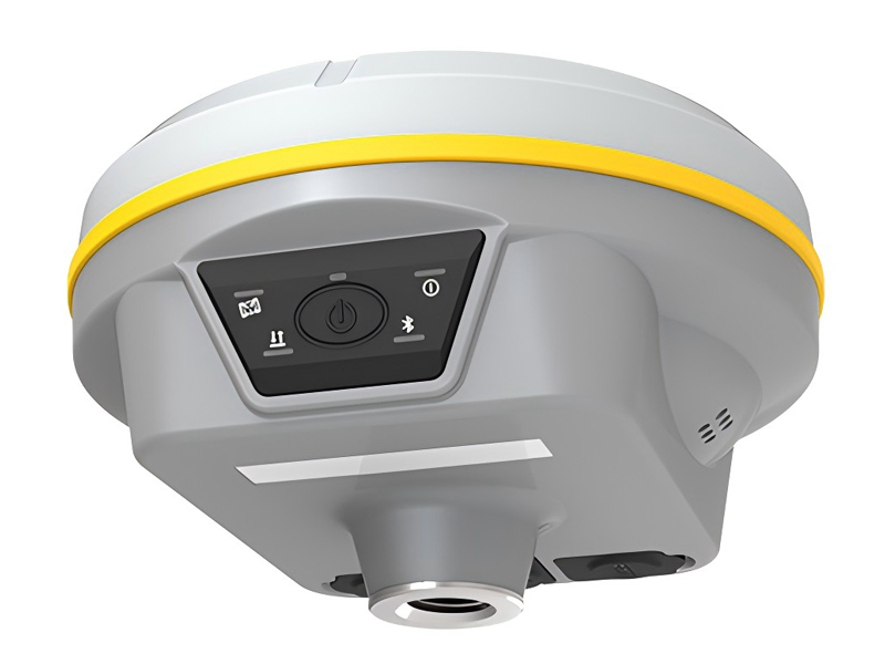
The Galaxy G3 RTK, with its ultra-light weight of only 780 grams, is matched with a highly integrated laminated design and a magnesium alloy body to achieve double optimization of volume and weight. This 1 design not only greatly improves the portability of the equipment, but also makes it an ideal choice for field surveying and mapping operations. Whether in rugged mountains or vast grasslands, the Galaxy G3 can easily cope with it, bringing unprecedented ease to surveying and mapping personnel.
Fashion simplicity, the perfect fusion of aesthetics and function
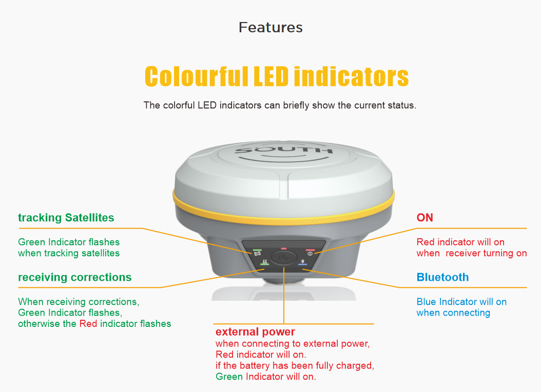
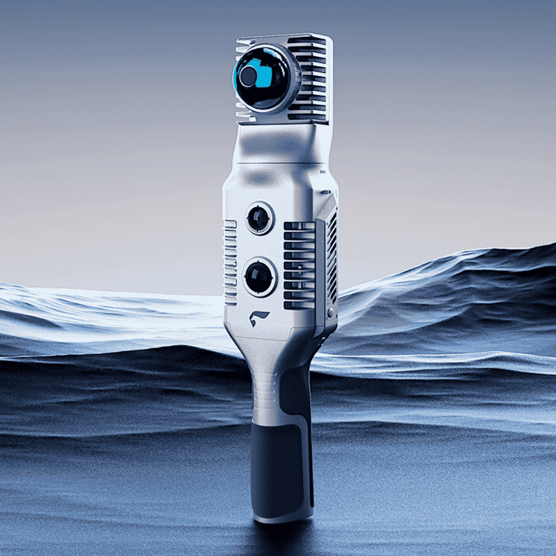
In addition to excellent portability, the Galaxy G3 RTK also has a lot of work on the design. The three-stage design is simple and generous. The combination of very simple key layout and multi-color indicator lights not only improves the convenience of operation, but also shows the beauty of 1 fashion and simplicity. This design not only makes the equipment more functional, but also becomes a beautiful landscape in the hands of surveying and mapping personnel.
Long battery life, fast flash charging, worry-free operation
In view of the common power anxiety problem in field surveying and mapping operations, Galaxy G3 RTK has built-in 6900mAh high-performance lithium battery to support up to 18 hours of continuous operation time. At the same time, Type-C the addition of PD speed flash charging technology, the equipment can meet the operation requirements of the 1 all day after charging for one hour. In addition, the equipment also supports the power supply scheme of charging treasure, which further guarantees the power supply under high-intensity operation, and allows surveying and mapping personnel to completely bid farewell to the problem of insufficient power.
Inertial navigation survey, leading the new trend of surveying and mapping
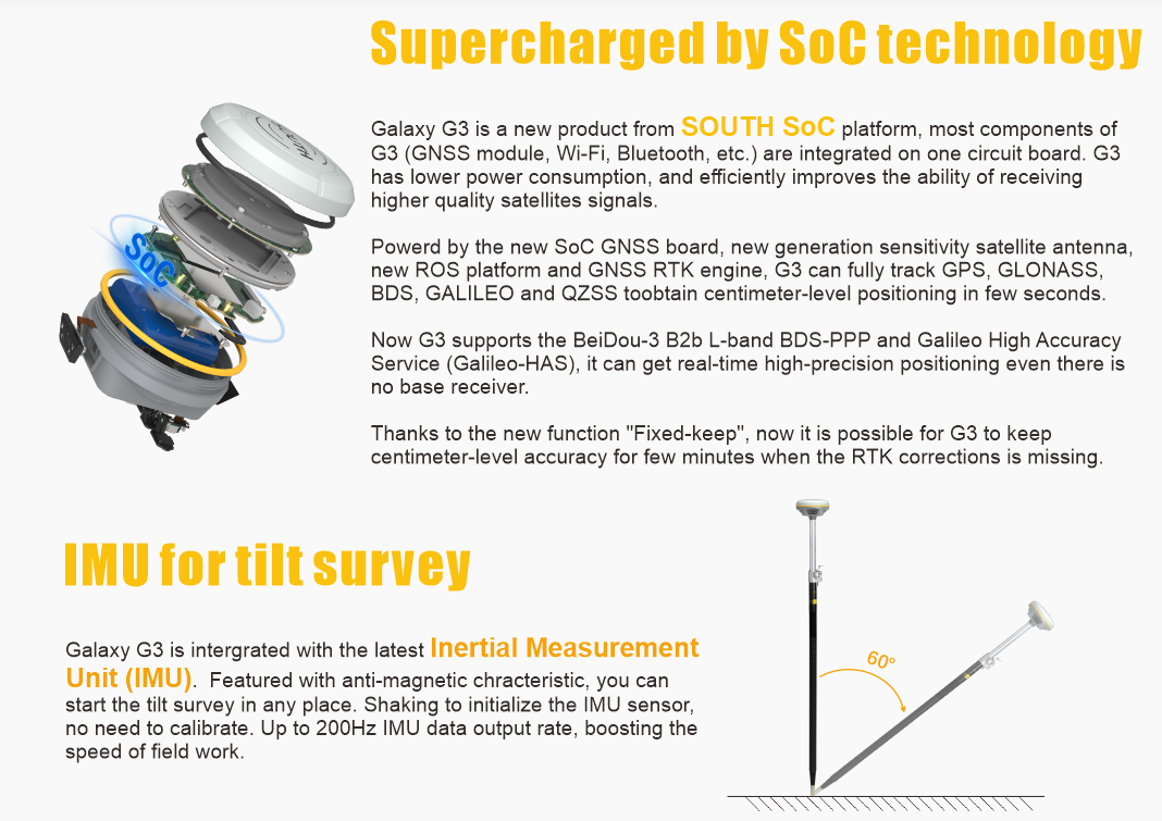
Galaxy G3 RTK has built-in IMU inertial measurement sensor. The application of this innovative technology enables the equipment to automatically correct the coordinates according to the tilt direction and angle of the centering rod, without the need for the traditional centering operation, thus realizing the convenient experience of point-to-point measurement. In addition, the sensor also has the characteristics of no magnetic field interference, no correction low delay, 200Hz update frequency and 60 ° super angle measurement, which brings unprecedented accuracy and efficiency to surveying and mapping operations.
Centimeter-level high-precision location services, nationwide coverage
In terms of location services, the Galaxy G3 RTK also performed well. It provides centimeter-level high-precision location services, covering the whole country. Through the one-key quick login function, the device can achieve a fixed second in a very short time, bringing a more lightweight and convenient operation experience for surveying and mapping personnel. At the same time, the device also supports Beidou 3 and other multi-constellation full-frequency point signal reception, as well as five-star 16-frequency satellite receiving capability (can receive 50 satellite signals), ensuring stable and reliable positioning results in different environments. In addition, Galaxy G3 RTK also provides CGCS2000 coordinate system support to meet the diverse needs of the surveying and mapping industry for the coordinate system.
The release of the Southern Mapping Galaxy G3 RTK marks another 1 stride forward for the mapping industry. This set of extreme light, beautiful and simple, long endurance, fast flash charging and high-precision location services in one of the equipment will become the mainstream choice in future surveying and mapping operations. We believe that with the help of Galaxy G3 RTK, surveying and mapping personnel will be able to complete various surveying and mapping tasks more efficiently and conveniently, and contribute more to the sustainable development of the surveying and mapping industry.

