

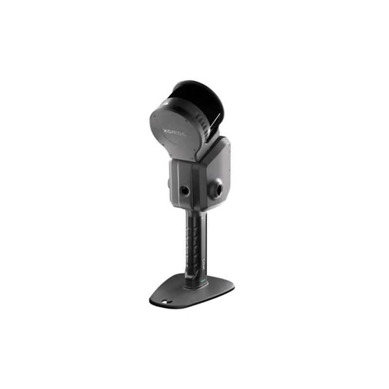
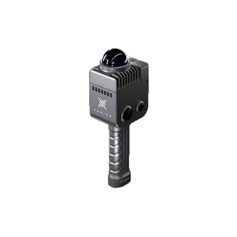
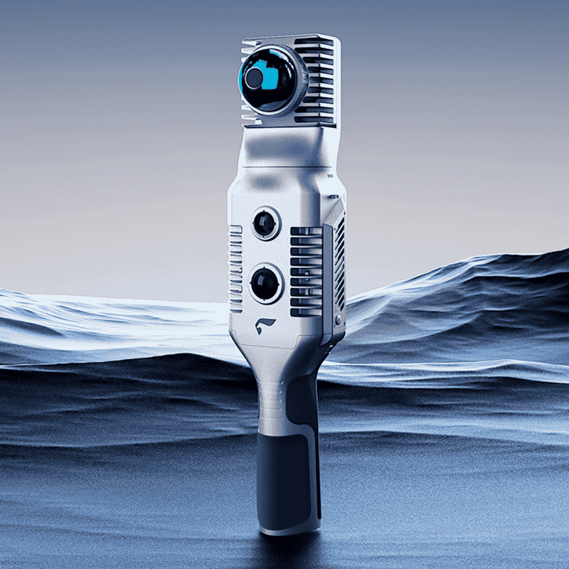


Southern Surveying and Mapping G9 Shock Release: New RTK Integration Technology to Lead the New Fashion of Surveying and Mapping Industry
The surveying and mapping industry has ushered in the 1 storm of technological innovation. Southern surveying and mapping ceremoniously launched its new masterpiece -- G9 RTK equipment in early 2022. This product, which integrates the latest scientific research results of Southern Surveying and Mapping, not only carries a new RTK integration technology, but also achieves a major breakthrough in convenience and efficiency, setting a new benchmark for the surveying and mapping industry.
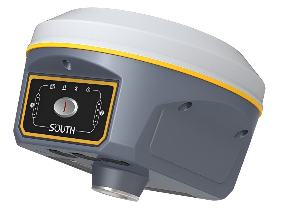
New RTK integration technology, fully built-in without burden
The highlight of the G9 RTK is its innovative integration technology, which enables all key components such as radio, Bluetooth, WIFI, network and GNSS antenna to be built in. This 1 design completely subverts the cumbersome configuration mode of traditional RTK equipment, and users can easily complete any mode of operation without any external antenna or equipment. This highly integrated design not only greatly simplifies the operation process, but also makes the overall device more simple and portable, bringing unprecedented convenience to the user's field work.
Simple portable new experience, field work more easily
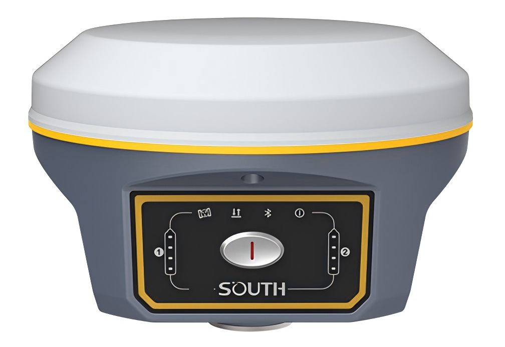
Thanks to the highly integrated design, the G9 RTK is significantly optimized in terms of volume and weight. Its compact body design makes the device more portable and easy to carry, even in the complex and changeable field environment can easily cope. At the same time, the reduced number of accessories also means that users no longer need to worry about a wide range of accessories, further improving the efficiency and comfort of field operations.
New choice for efficient operation, leading the new fashion of the industry
The G9 RTK not only performs well in terms of convenience, but also achieves a significant improvement in operational efficiency. Its built-in multiple communication methods (radio, Bluetooth, WIFI, network) provide users with a wealth of data transmission options to ensure the real-time and accuracy of data. At the same time, the comprehensive built-in GNSS antenna also makes the device more stable and reliable in signal reception, further improving the accuracy and speed of measurement. These advantages make the G9 RTK a new choice for efficient operations in the surveying and mapping industry, and also lead the new trend of industry development.
1. technical characteristics
Multi-frequency multi-satellite reception: G990 can receive signals from multiple satellite navigation systems (such as BeiDou, GPS, GLONASS, etc.), and supports multi-frequency reception, thereby improving the accuracy and reliability of positioning.
Differential data communication: G990 is equipped with a complete differential data link module, which supports a variety of differential data communication methods, such as built-in UHF radio, Bluetooth, network communication, etc., and can realize remote differential data transmission and real-time dynamic positioning.
2. function application
High-precision measurement: G990 has high-precision positioning function, which can meet various high-precision measurement requirements, such as topographic survey, engineering survey, deformation monitoring, etc.
GIS data acquisition: as an RTK handbook, G990 with a variety of measurement software, can be excellent to complete the regular survey and road, electricity, oil and other surveying and mapping work. At the same time, it can also be used as a GIS data collection handbook for collecting, recording and managing geographic information data.
Car navigation: G990 comes standard with genuine navigation software, which can be used as a car navigator to provide convenient navigation services.
Industry application: G990 can also install various industry software for water conservancy census, forestry inventory, land survey and other work, with a wide range of applications.
3. performance indicators
G990's performance indicators include static measurement accuracy, RTK measurement accuracy, DGPS measurement accuracy, etc., the specific values vary by model and configuration. But in general, G990 has the characteristics of high precision, high stability and high reliability, which can meet the measurement requirements in various complex environments.
4. other features
Large screen display: G990 is equipped with a large high-resolution display screen, which can display the current project information and satellite status in real time, which is convenient for users to operate and monitor.
Dustproof and waterproof design: G990 adopts dustproof and waterproof design, which can work normally in harsh environments, improving the durability and reliability of the equipment.
Long battery life: G990 is equipped with a large-capacity battery, which can provide long-term battery life and meet the needs of long-term measurement.
To sum up, Southern Surveying and Mapping G9(G990) is the 1 multi-frequency multi-satellite RTK measurement system with powerful functions and excellent performance, which is widely used in various high-precision measurement and GIS data acquisition fields.