

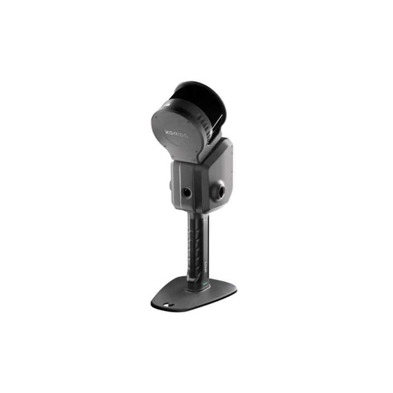
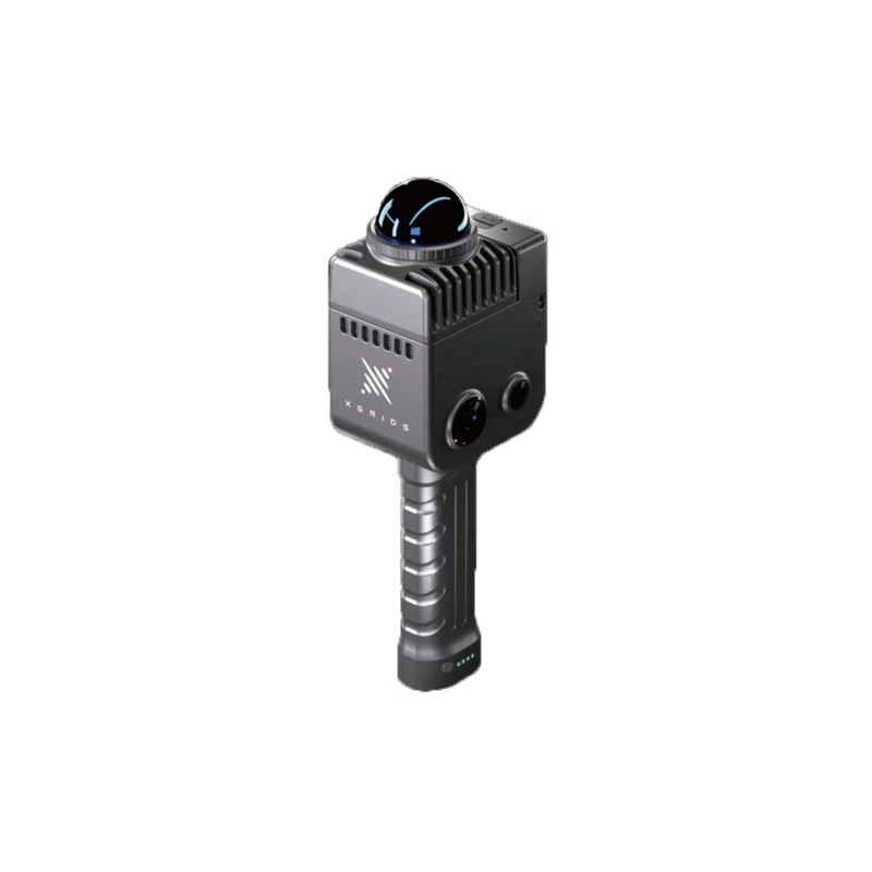
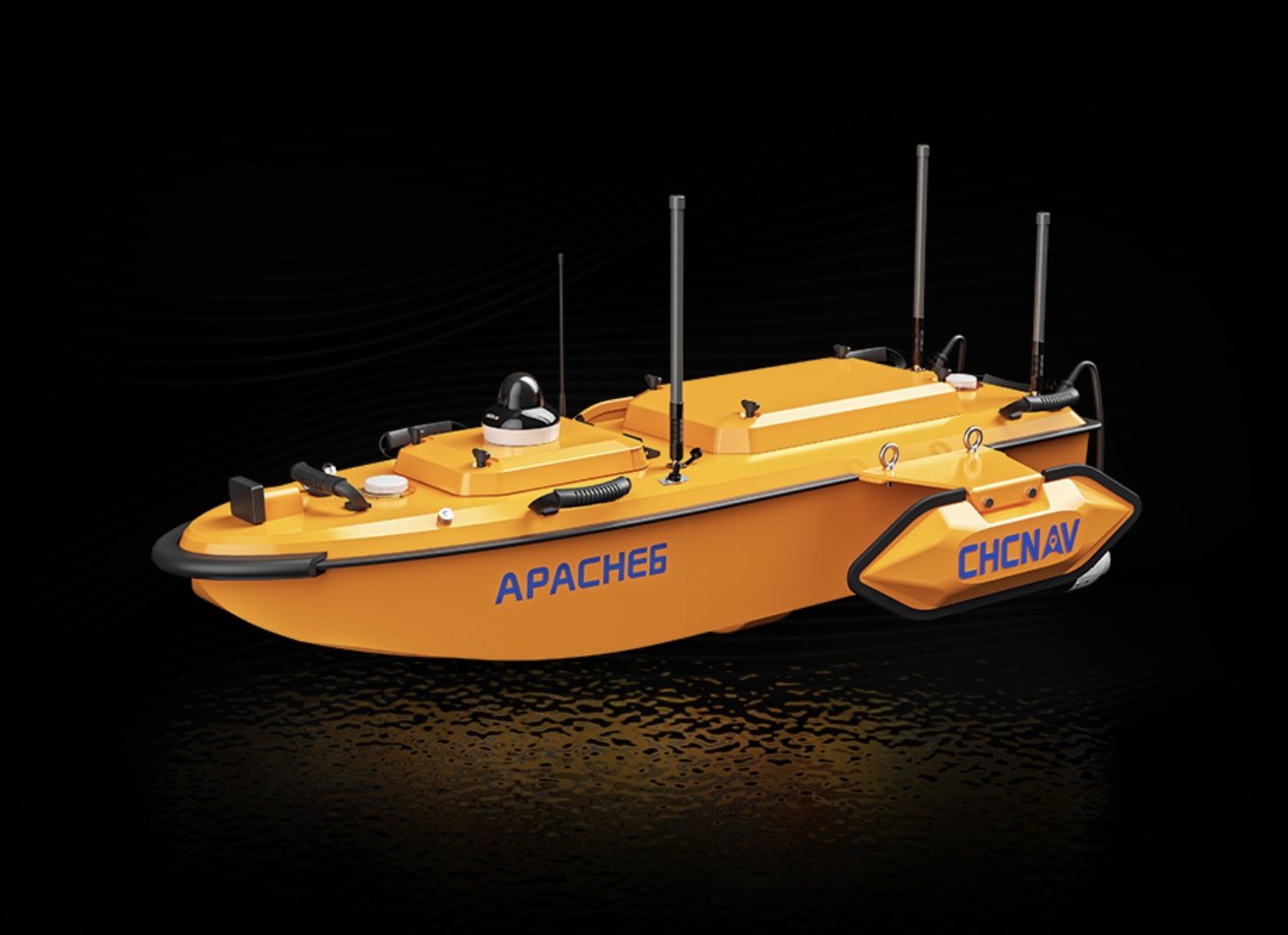


COMNAV T60AR visual lofting RTK: creating a new era of efficient and accurate mapping
COMNAV released its latest masterpiece -- T60AR visual lofting RTK today. This product integrates RTK technology, imaging technology and advanced algorithms, bringing users unprecedented efficient and accurate mapping experience.
The T60AR visual lofting RTK is another 1 milestone product for COMNAV in the field of high-precision surveying and mapping. It skillfully combines RTK technology with image technology, and through immersive real-life lofting, the lofting point can be marked on the spot in the image, and the user can realize the lofting 1 rod in place without repeatedly moving the rod. This 1 innovative design not only greatly improves the efficiency of surveying and mapping, but also ensures the accuracy of lofting.
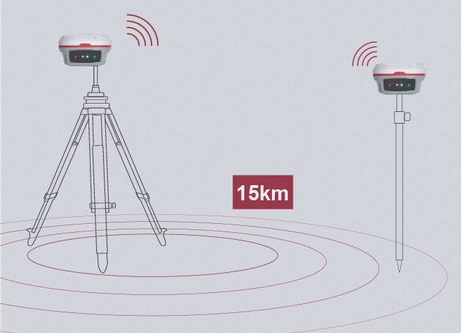
The product uses satellite navigation, inertial navigation and visual fusion algorithm, to achieve an effective integration of technology. Its built-in low-light-level camera makes the image clearer and ensures the accuracy of mapping even in complex environments. At the same time, T60AR also supports the whole system full frequency points, the number of available satellites is as high as 50, and the signal is strong and stable, ensuring the continuity and reliability of surveying and mapping work.
In the field of application, T60AR visual lofting RTK shows a strong cross-border fusion capability. Whether in surveying and mapping, precision agriculture, deformation monitoring, intelligent driving, digital construction and other fields, it can provide users with high-precision and high-efficiency surveying and mapping solutions. In addition, the product also supports the satellite-based enhancement PPP service, a new generation of satellite-based enhancement algorithm makes the accuracy can reach the centimeter level, further improving the accuracy and reliability of surveying and mapping.
It is worth mentioning 1 that COMNAV has always adhered to the concept of independent research and development and continuous investment in the development of T60AR. With its profound technical strength and rich industry experience, its R & D team has successfully overcome a number of technical problems, making T60AR reach the domestic cutting-edge and international advanced level in performance.
As a pioneer enterprise in China's satellite navigation industry, COMNAV has been committed to promoting the large-scale application of Beidou and promoting the high-quality development of Beidou industry. The launch of T60AR visual lofting RTK not only demonstrates the strong strength of Sinan navigation in technological innovation, but also brings more efficient and accurate mapping solutions to users.
In the future, COMNAV will continue to cultivate high-precision Beidou technology and continue to introduce more innovative products to provide solid technical support for industry development and urban construction. At the same time, the company will also actively participate in exchanges and cooperation in the field of high-precision satellite navigation at home and abroad, and promote China's satellite navigation industry to a more brilliant tomorrow.
The release of T60AR visual lofting RTK marks another solid step for COMNAV in the field of high-precision surveying and mapping. I believe that in the near future, this product will become a leader in the industry and inject new vitality into the development of the surveying and mapping industry.