
CHCNAV RS10 Series New Upgrade: First Laser SLAM & High Precision RTK Fusion Product
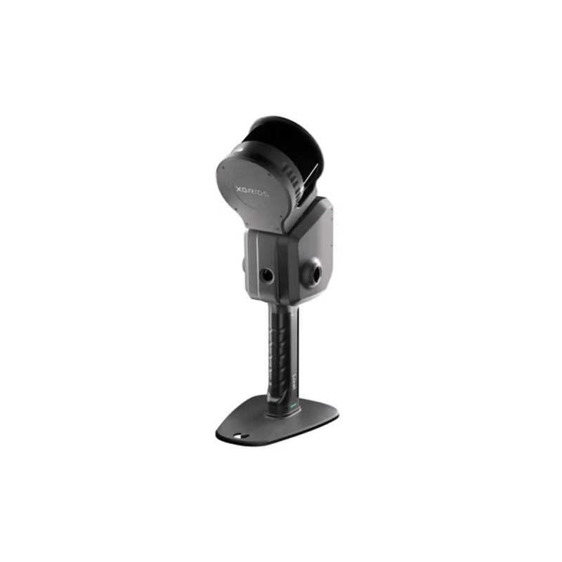
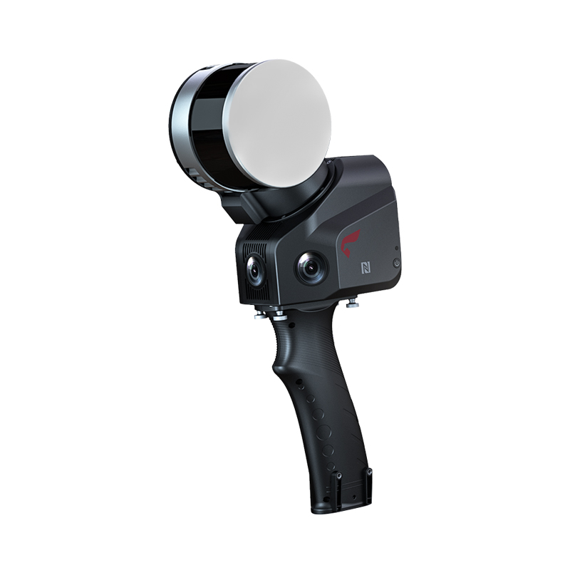
1. RS10: Leading the New Trend of Surveying and Mapping Technology
In February 2024, CHCNAV launched the "RS10 measurement system". With its deep integration of high-precision RTK and laser SLAM technology, the system quickly won market recognition. RS10 can not only maintain high-precision positioning in complex environments, but also has the characteristics of non-contact scanning, fast scanning speed, full digitization, and high precision. These advantages make RS10 play an important role in coal mine bunker safety management, topographic survey, waterway inspection and other fields. Especially in the coal mining industry, RS10 provides a powerful help for the fine and intelligent development of the coal mining industry with its efficient coal metering ability.
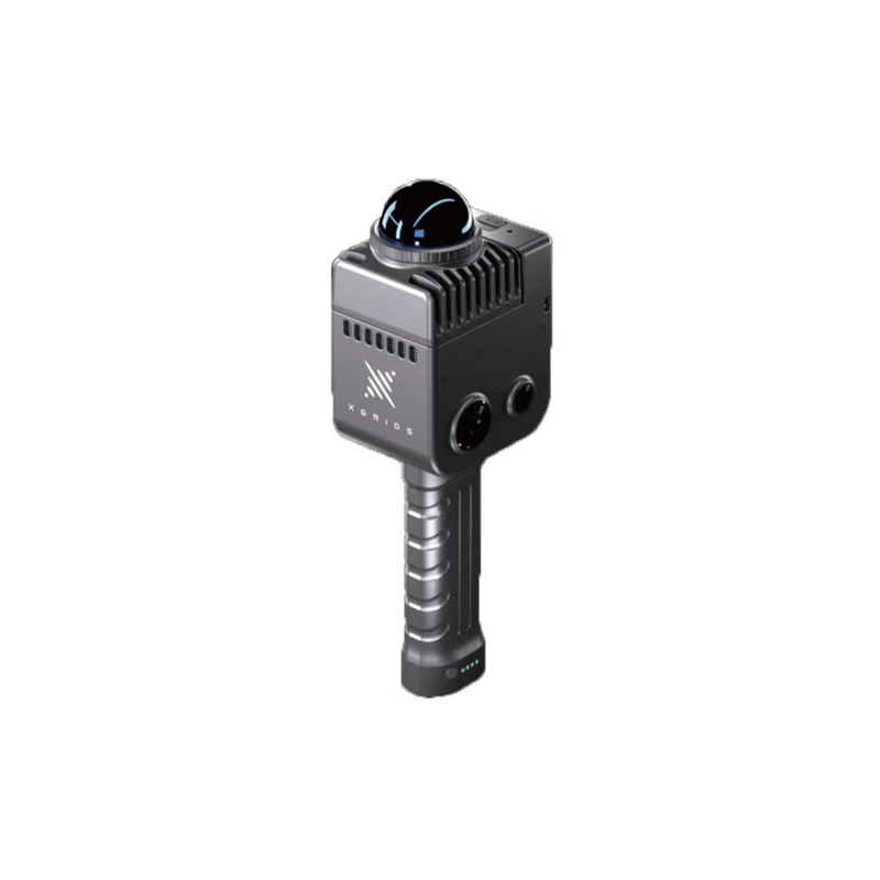
2. RS30: Performance upgrade, wider application scenarios
Subsequently, CHCNAV introduced the RS30 measurement system. As an upgraded version of RS10, RS30 has been fully upgraded in performance. First of all, the RS30 has a ranging capability of 300 meters and a point frequency of 640000 points per second, which makes it perform well in tasks requiring high-precision long-distance measurement such as high-rise building facades, power inspection, and waterway inspection. Secondly, RS30 also adds HPC true color point cloud coloring function, which improves the recognition and fineness of point cloud through deep fusion of multi-source data, and ensures the accurate display of ground features. In addition, RS30 also uses a new SLAM algorithm, so that it can still output point cloud results with stable accuracy in weak feature scenarios such as dams, as well as urban canyons or forest areas with poor GNSS signals. 3. RS Series: Industry Technology Pioneer
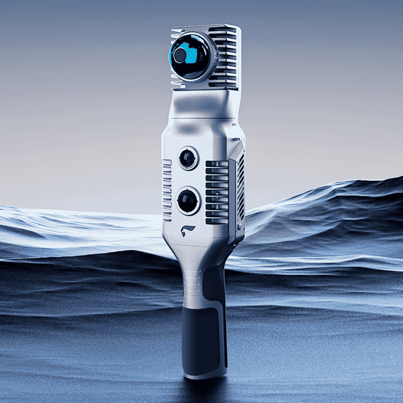
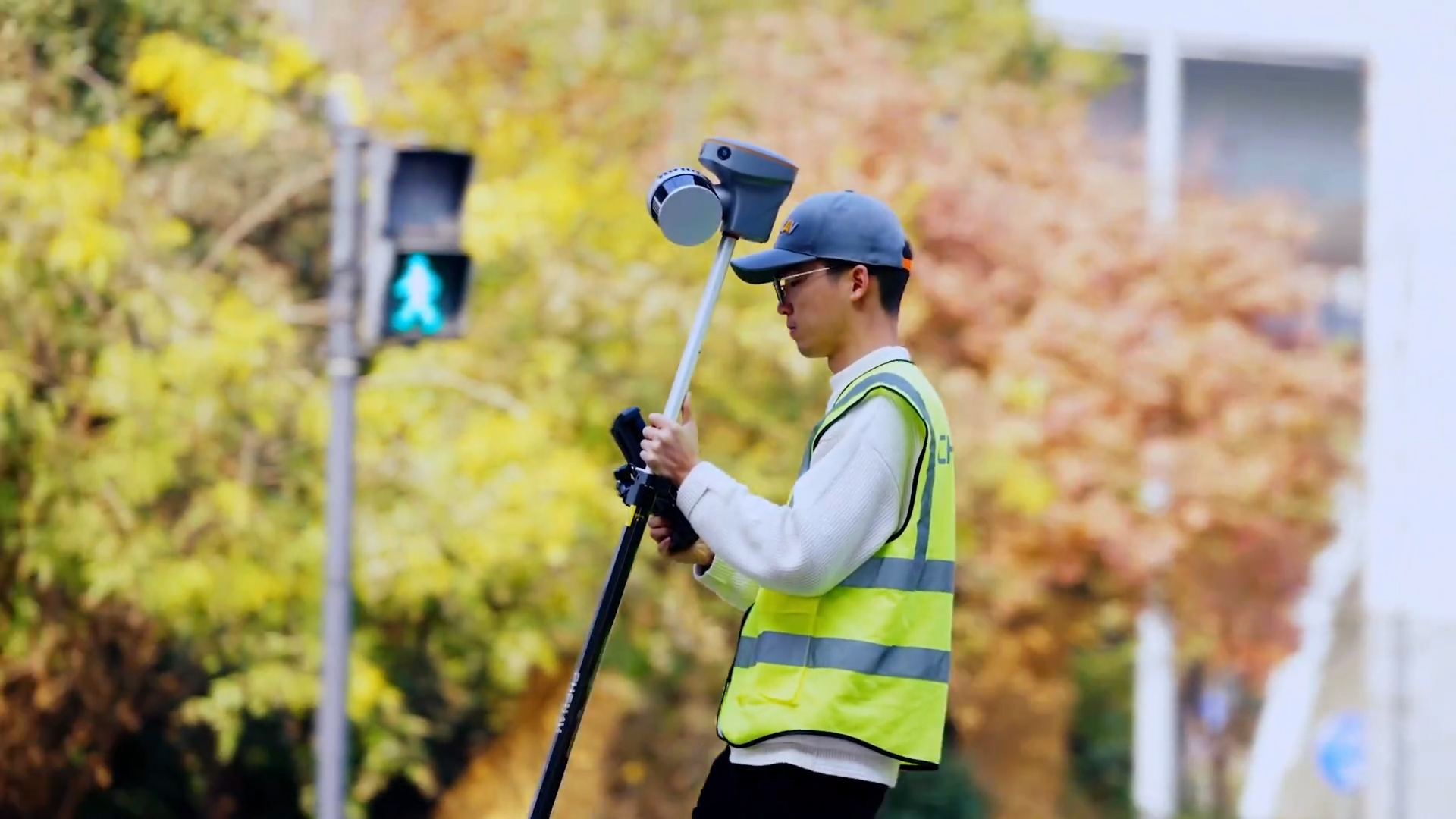
CHCNAV RS series handheld laser scanner as a technology pioneer in the industry, constantly explore and apply the latest technology. Its continuous iterative technical strength and deep optimization algorithm system have built an unprecedented set of stable and efficient operation experience for users. RS series equipment not only achieves a qualitative leap in the accuracy of data acquisition, but also comprehensively optimizes the processing efficiency. This enables RS series devices to maintain operational stability and data reliability in complex environments, creating greater value for users.
Wide range of 4. application scenarios
CHCNAV RS series handheld laser scanners are widely used in many fields due to their high precision, high efficiency and high fineness. In building construction, RS series can quickly generate high-precision 3D terrain model, provide rich spatial data, and provide strong support for construction design. In power inspection, the RS series can efficiently complete the scanning and measurement of power lines, improving inspection efficiency and safety. In urban management, RS series can provide accurate data support for urban planning, traffic management and other fields. In addition, the RS series is also suitable for operation scenarios such as old community renovation, underground space information collection and forestry asset management.
5. looking to the future
With the continuous advancement of technology and the continuous expansion of applications, CHCNAV RS series handheld laser scanners will play an important role in more fields. CHCNAV will continue to be committed to technological innovation and product upgrades to provide users with more efficient and accurate mapping tools and services. At the same time, CHCNAV will also actively respond to industry trends and user needs to promote the development of intelligent and automated surveying and mapping industry.
In short, the CHCNAV RS series handheld laser scanner with its excellent technical performance and a wide range of application scenarios, is changing our understanding of surveying and mapping work. Whether it is construction, power inspection or urban management and other fields, the RS series has shown great potential and value. We expect China Survey Navigation to launch more innovative products and technical solutions in the future, and contribute more to the development of the surveying and mapping industry.