
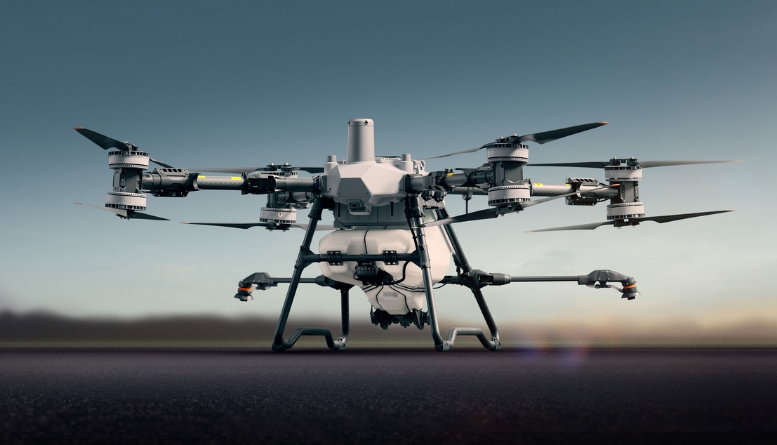
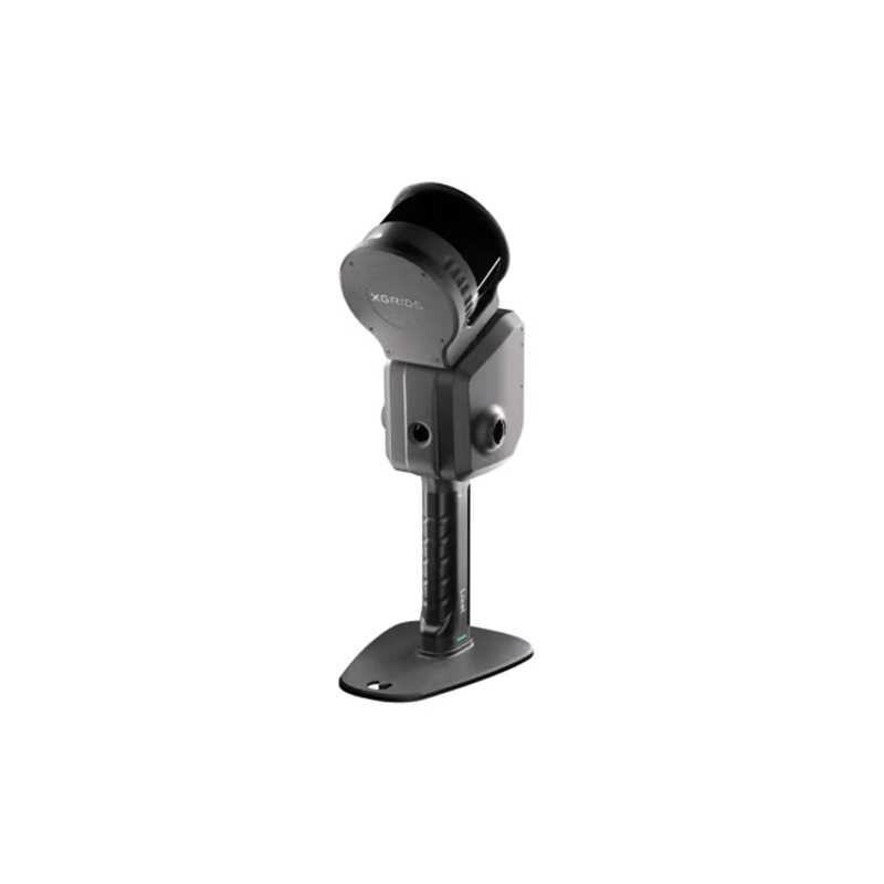
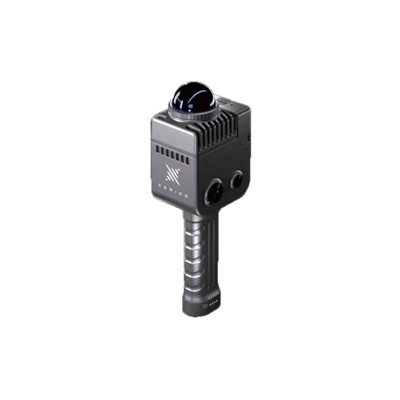
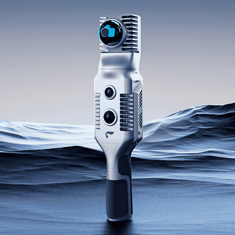
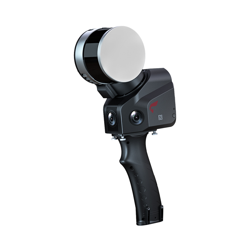


CHCNAV i93 Visual Lofting RTK Shocks Release: Innovating Surveying and Mapping Technology, Leading a New Era of Precision Operations
Today, with the rapid development of surveying and mapping technology, China Measurement Navigation (CHCNAV) once again leads the industry forward with breakthrough innovation and officially launches its flagship product, CHCNAV i93 visual lofting RTK. This equipment, which integrates the latest vision technology, high-precision positioning algorithm and powerful hardware performance, not only greatly improves the accuracy and efficiency of surveying and mapping operations, but also shows extraordinary adaptability in complex environments, setting a new benchmark for the surveying and mapping industry.
Visual real scene lofting, new experience of 1 rod in place
The biggest highlight of CHCNAV i86 visual lofting RTK lies in its integrated new vision technology of Huadian, which realizes the unprecedented visual real scene lofting function. The user only needs simple operation, and the lofting point can be directly and accurately marked on the ground, thus truly achieving the goal of "putting the point in place with one pole", completely bidding farewell to the tedious and inconvenience of frequently moving the benchmark in the traditional method, and greatly improving the operation efficiency and user experience.

Starlight level camera, dark light environment is also clear
Equipped with a star-level camera, but also let CHCNAV i93 in poor light conditions in the environment can also be comfortable. Only weak starlight can clearly capture the surrounding environment, ensuring stable and accurate visual positioning and lofting under any lighting conditions, providing strong support for surveying and mapping operations at night or in dark light environments.
Navigation + inertial navigation + visual fusion, without fear of magnetic interference
Using advanced satellite navigation (satellite navigation), inertial navigation (inertial navigation) and visual fusion algorithms, CHCNAV i86 successfully replaces the traditional magnetic compass scheme, completely getting rid of the influence of magnetic interference on direction indication, ensuring that it can provide accurate direction guidance in any environment, and bringing unprecedented stability and reliability to surveying and mapping operations.
1408 the number of channels, blocking the environment performance leap
With a channel number of up to 1408, CHCNAV i93 shows excellent signal capture and fixation capability in complex occlusion environment. Compared with the previous generation, the fixation effect is improved by 15%, and stable and high-precision positioning results can be quickly obtained even in areas with dense trees and serious architectural occlusion.
Five-star 21-frequency solution engine, computing power leap
The upgrade is also equipped with a five-star 21-frequency solution engine independently developed by China Test. The chip's computing power has been greatly increased by 100, which not only supports the solution of more satellite frequency points, but also further improves the data processing speed and accuracy, providing a wider range of choices and more reliable guarantee for surveying and mapping operations.
Continuous measurement without network to solve signal pain points
In view of the weak and unstable operation scenarios such as forest areas and inter-provincial junctions, CHCNAV i93 supports the continuous measurement function without network, which can continuously carry out measurement operations even in the case of network interruption, greatly improving the availability and operation scope of RTK, and bringing unprecedented flexibility and convenience to surveying and mapping personnel.
The release of CHCNAV i93 visual lofting RTK is not only a concentrated display of the innovative strength of Huadian navigation technology, but also a profound change to the traditional operation mode of the surveying and mapping industry. In the future, with the wide application of this product, it will promote the development of the surveying and mapping industry to a more efficient, accurate and intelligent direction, and open a new chapter in surveying and mapping technology.