

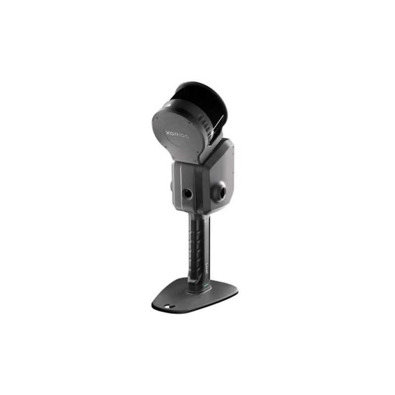
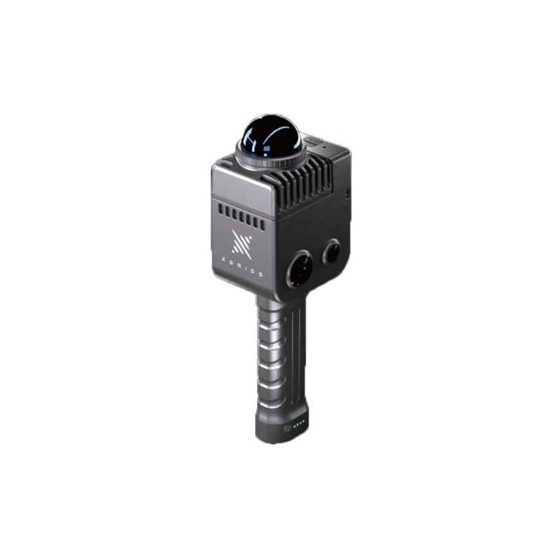

CHCNAV i76 Handheld Visual IMU-RTK Global Navigation Satellite System Shock Release: Reshaping The New Standard Of Field Operations
Today, with the rapid development of surveying and mapping and geographic information technology, CHCNAV, with its profound technological accumulation and innovative spirit, officially launched the CHCNAV i76 handheld visual IMU-RTK global navigation satellite system. This lightweight tool, which combines cutting-edge technology with extreme portability, not only integrates GNSS (Global Navigation Satellite System) and IMU (Inertial Measurement Unit) RTK (Real-Time Dynamic Differential Positioning) technologies, but also innovatively integrates dual cameras, CAD AR (Computer Aided Design Augmented Reality) visual monitoring functions, as well as IP68 dustproof and waterproof and 2-meter fall resistance, it brings unprecedented efficiency improvement and operation experience for field operation.

Fusion of cutting-edge technologies to define new heights of measurement
The CHCNAV i76 handheld vision IMU-RTK system integrates GNSS and IMU RTK technology to achieve high-precision, high-stability real-time positioning and measurement. The addition of IMU makes it possible to maintain positioning accuracy through inertial navigation assistance even in poor signal environments, ensuring the continuity and accuracy of measurement work. At the same time, the configuration of dual cameras not only provides clear on-site image recording, but also seamlessly integrates design drawings with real scenes through CAD AR visual monitoring function, so that on-site construction personnel can intuitively understand design intent, reduce errors and improve operation efficiency.
Extremely portable and durable, adaptable to diverse environments
As the 1 lightweight tool designed for field operations, the CHCNAV i76 has been carefully optimized for size and weight, making it easy for users to operate with one hand or carry around. And its IP68 level of dustproof and waterproof performance ensures that the equipment can still work stably in harsh outdoor environments, whether it is heavy rain or dust, it can easily cope. In addition, the sturdy design of the 2-meter anti-drop provides additional security for the equipment. Even if it is accidentally dropped, it can maintain its performance intact and reduce the risk of downtime due to accidental damage.
Improve field efficiency and lead industry change
The launch of CHCNAV i76 handheld visual IMU-RTK system marks a new step in the application of surveying and mapping and geographic information technology in field operations. Its powerful function integration and excellent performance not only greatly improve the accuracy and efficiency of on-site operations, but also provide construction personnel with a more intuitive and convenient operation experience through the CAD AR visual monitoring function. The release of this innovative product will undoubtedly lead the surveying and mapping and geographic information industry to a more intelligent and efficient direction.

The release of CHCNAV i76 handheld vision IMU-RTK global navigation satellite system is another masterpiece of CHCNAV's continuous exploration and innovation in the field of surveying and mapping and geographic information technology. We believe that with the wide application and promotion of this product, it will bring more accurate, efficient and convenient solutions to the global surveying and mapping and geographic information industry, and jointly promote the sustainable development and progress of the industry.