

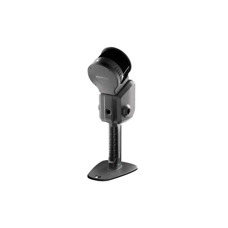
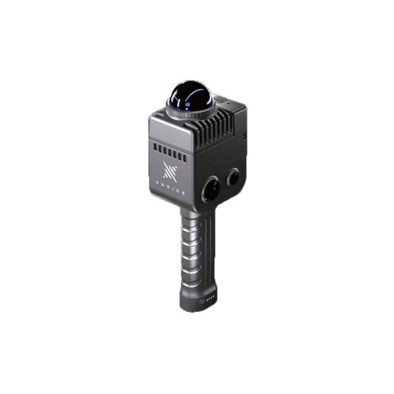


CHCNAV i73 Inertial Navigation Pocket RTK Shocks Release: Leading a New Era of Measurement Technology, Efficiency Improvement Over 20%
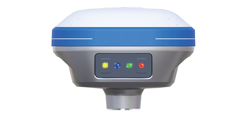
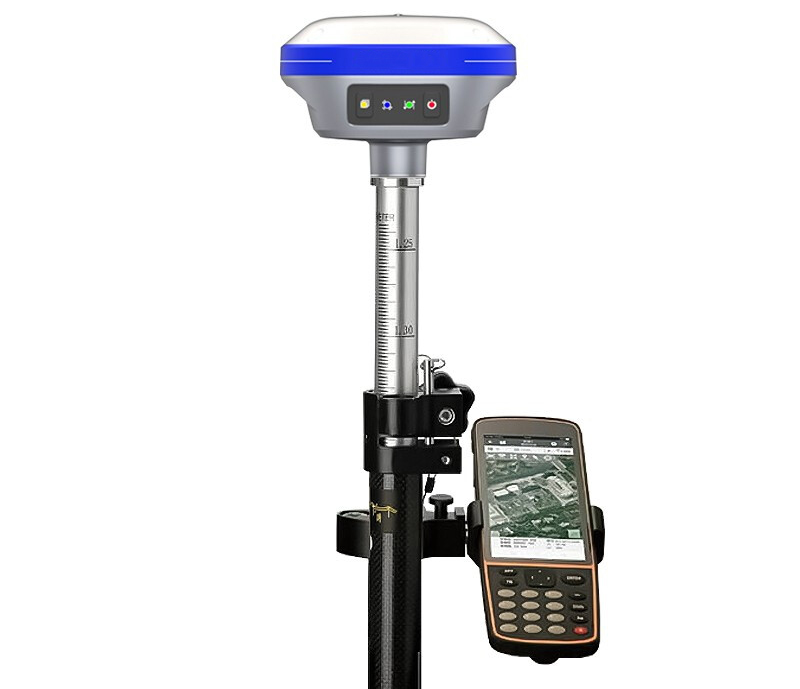
Today, with the rapid development of surveying and mapping technology, CHCNAV has once again brought the 1 revolutionary product-CHCNAV i73 Inertial Navigation Pocket RTK to the global surveying industry with outstanding innovation. This new GNSS (global navigation satellite system) receiver not only integrates advanced 5-star 21-frequency solution technology, but also innovatively integrates inertial navigation module, which completely subverts the traditional measurement method and brings unprecedented efficiency and convenience to users.
5-star 21-frequency resolution, accuracy upgrade again
CHCNAV i73 Inertial Navigation Pocket RTK supports 5-star 21-frequency calculation, which means that it can simultaneously receive and process signals from multiple satellite systems, including GPS, GLONASS, Galileo, BDS (Beidou) and QZSS (Quasi-Zenith Satellite System), greatly improving the accuracy and stability of positioning. Whether in urban canyons, dense forests or complex terrain, it can ensure the accuracy of measurement data and provide solid data support for various engineering projects.
Inertial navigation module blessing, no centering measurement new experience
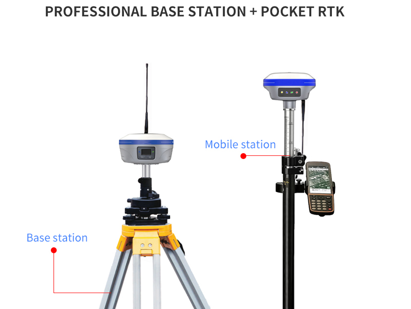
What is even more remarkable is that CHCNAV i73 innovatively integrates the inertial navigation module, achieving a major breakthrough in alignment-free measurement. This 1 that the technical innovation completely gets rid of the limitation of the centering rod in the traditional RTK measurement, and the user can quickly obtain accurate position information without complicated centering operation. This 1 change not only simplifies the measurement process, but also improves the operation efficiency by more than 20%, greatly reduces the labor intensity of the measurement personnel, and makes the measurement work easier and more efficient.
Compact, portable new height
While pursuing high efficiency, CHCNAV i73 did not ignore the portability of the product. The design of the whole machine is exquisite and compact, which can be easily carried in a pocket or backpack. Whether it is hiking through the mountains and forests or shuttling between high-rise buildings in the city, it can be easily handled. This design not only facilitates the user's carrying and transportation, but also makes the measurement work no longer limited by the site and tools, and truly realizes the vision of efficient measurement anytime, anywhere.
High-tech experience, measuring new heights
The release of CHCNAV i73 Inertial Navigation Pocket RTK not only marks another major breakthrough of CHCNAV in the field of surveying and mapping technology, but also sets a new benchmark for the global surveying industry. With its excellent performance, convenient operation and efficient working methods, every 1 measurement personnel can experience the high-tech charm of the new era, and make the measurement work reach an unprecedented new height.
Conclusion
With the official launch of CHCNAV i73 Inertial Navigation Pocket RTK, we have reason to believe that this measurement artifact, which integrates accuracy, efficiency and portability, will become the preferred product in future measurement operations and inject new vitality and impetus into the development of the global surveying and mapping industry.