Top Mobile Mapping System OEM Manufacturers & Suppliers for Your Requirements
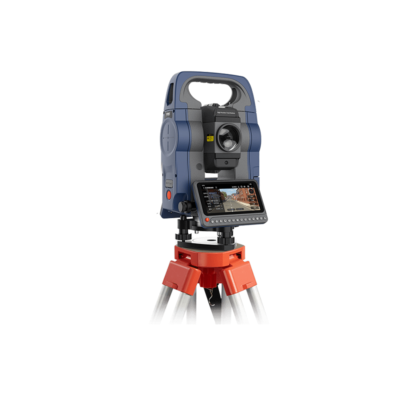
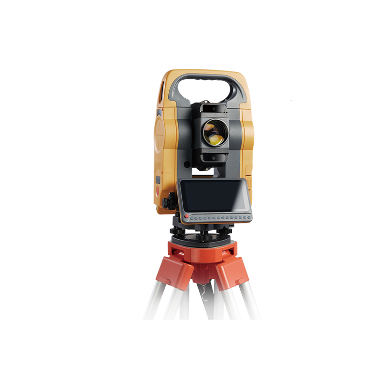
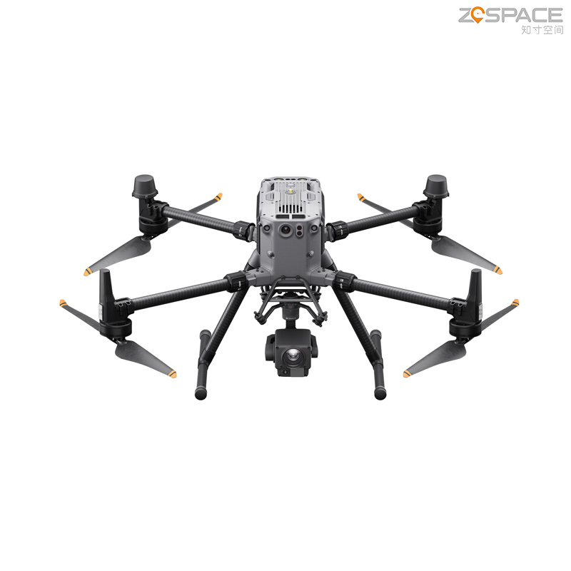
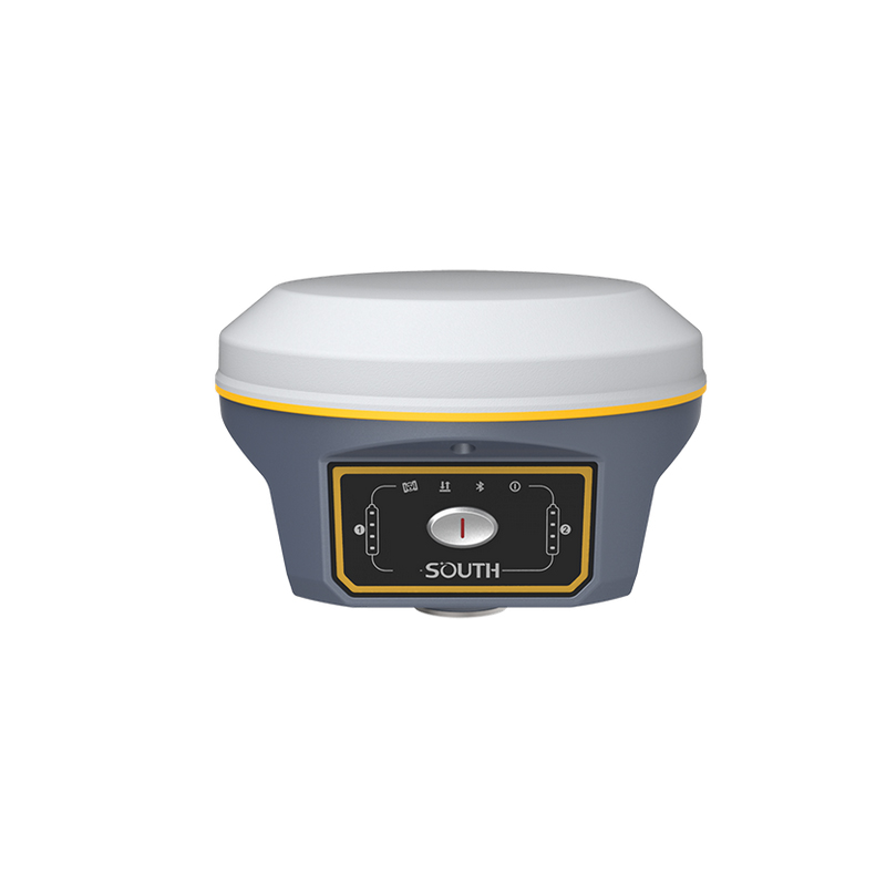
Chengdu Zhicun Space Surveying Instrument Co., Ltd. offers an advanced Mobile Mapping System engineered for precise geospatial data collection. This innovative system merges high-resolution imaging, LiDAR scanning, and GNSS positioning to provide users with detailed spatial information quickly and accurately. Suitable for diverse applications such as urban planning, infrastructure development, and environmental monitoring, it streamlines the terrain mapping process. Its intuitive interface and durable hardware ensure dependable operation in various settings, from urban hubs to isolated areas. With a strong emphasis on innovation and quality, Chengdu Zhicun aims to equip professionals across different industries with the effective tools necessary for enhanced decision-making and project success. Experience the synergy of speed and accuracy with our Mobile Mapping System, designed to deliver reliable outcomes that facilitate progress in your endeavors.