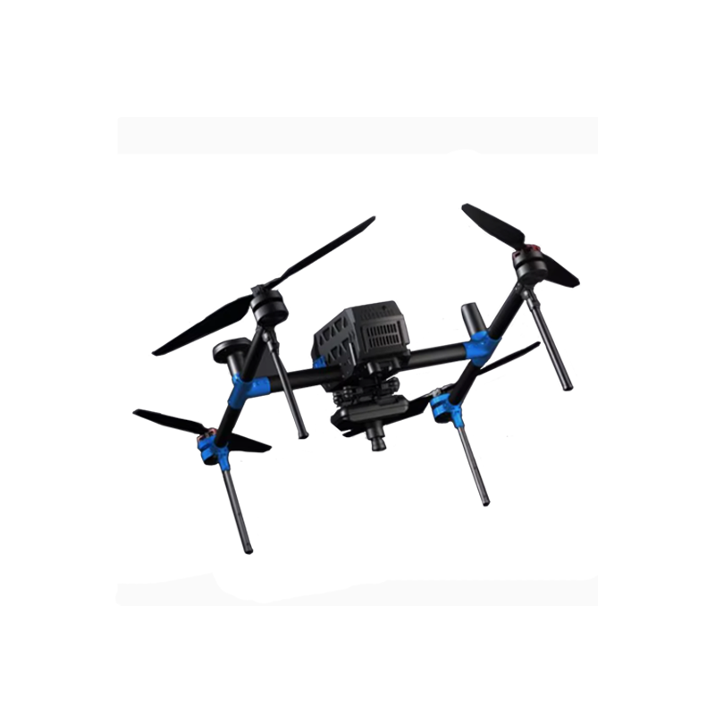


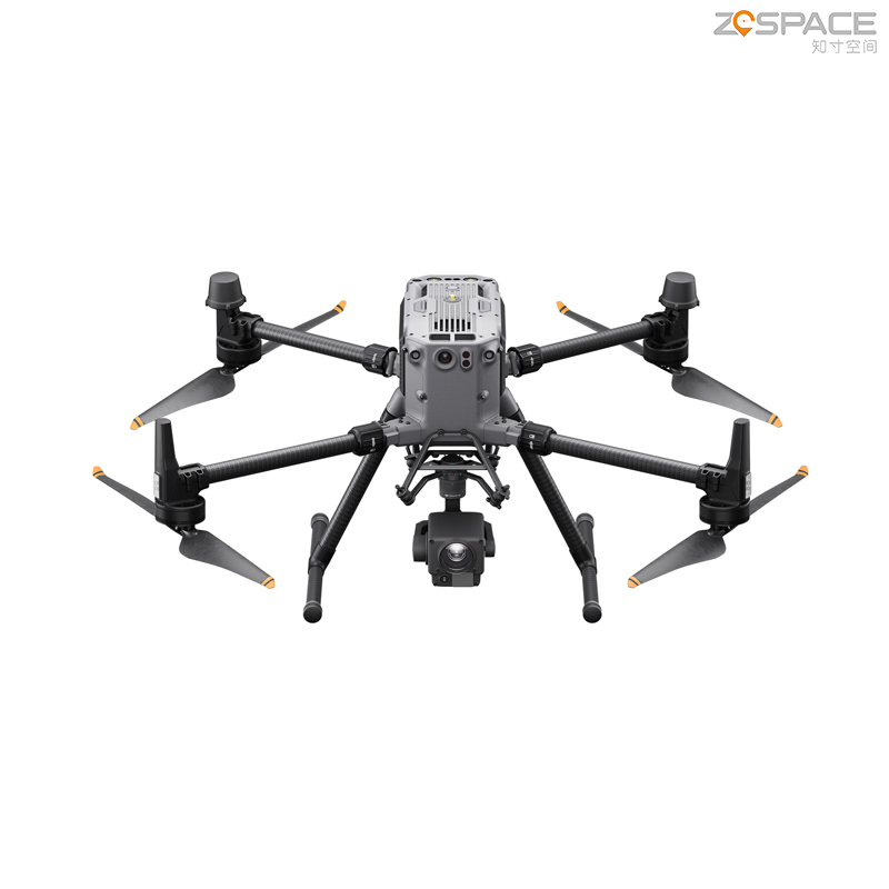


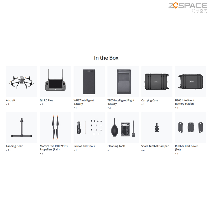
Matrice 300 RTK Combo Mapping Dron for M300 Rtk Drone Long Distance Search Rescue Surveying Don M350 RTK UAV Quadcopter
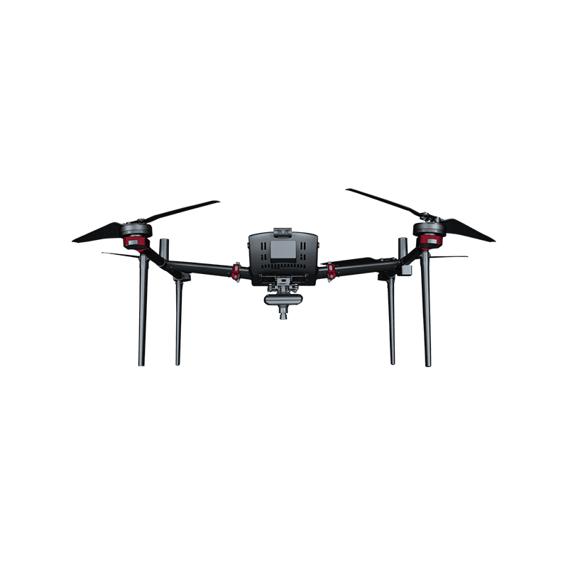
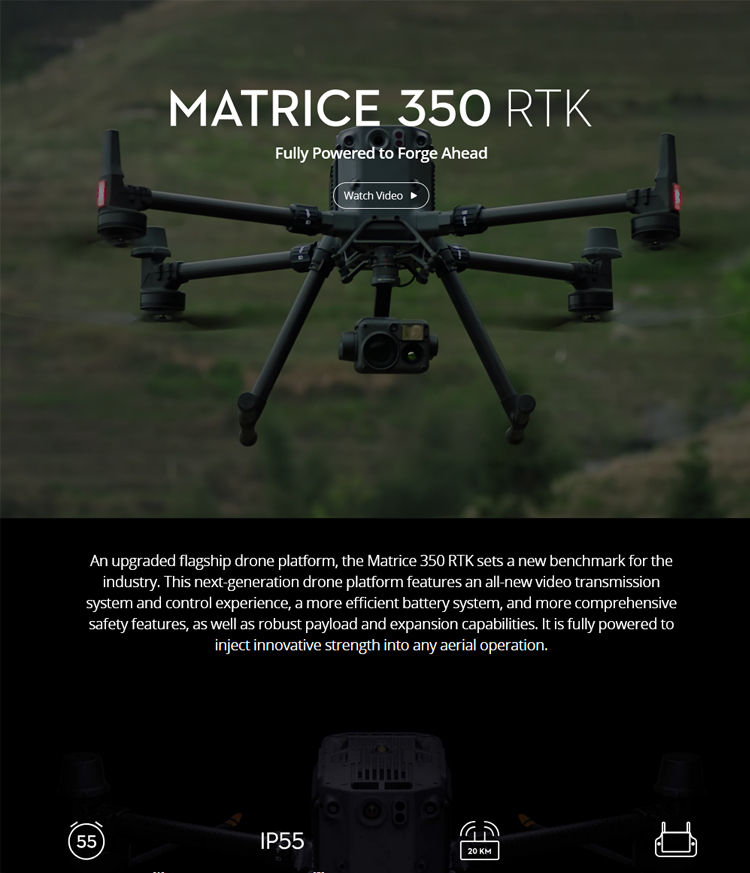
DJI M350 Industry Application Drone, also known as the DJI Matrice 350 RTK Drone, is an advanced drone system that integrates highly stable flight, precise positioning, intelligent obstacle avoidance, and multiple payload capabilities. Below is a detailed analysis of its industry applications:
Main Features and Advantages
Advanced Flight Control System: The M350 RTK employs an advanced flight control system and precise attitude sensors, ensuring stable flight both indoors and outdoors. It effectively reduces vibration and shaking, providing a smooth shooting and operation experience.
High-Precision Positioning: Equipped with a high-precision RTK navigation system, it achieves centimeter-level positioning accuracy, ensuring the drone flies stably in the air and reaches its designated destination precisely.
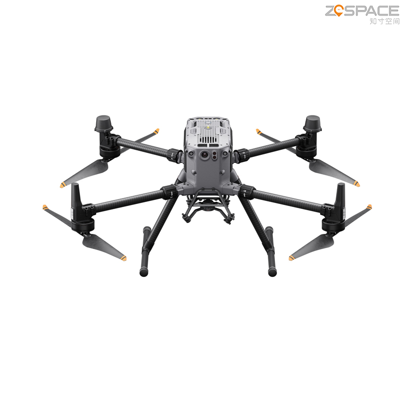
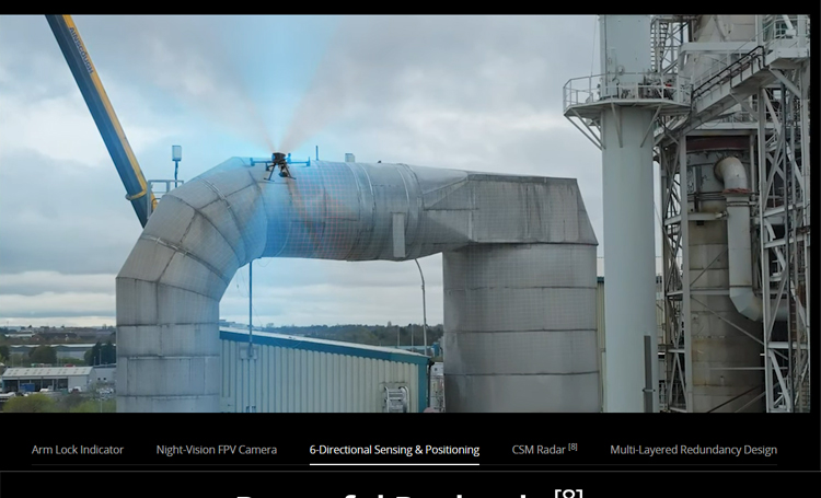
Multiple Safety Guarantees: It adopts multiple safety protection mechanisms, including battery power monitoring, flight altitude limits, flight area restrictions, etc. Additionally, it features six-directional obstacle avoidance and 360° ring-scanning millimeter-wave radar functionality, maximizing flight safety.
Intelligent Operations: It supports intelligent operations such as one-click takeoff, one-click landing, and automatic return, simplifying the operation process and improving work efficiency. The remote controller is fully functional, easy to operate, and supports various customizable shortcut operations.
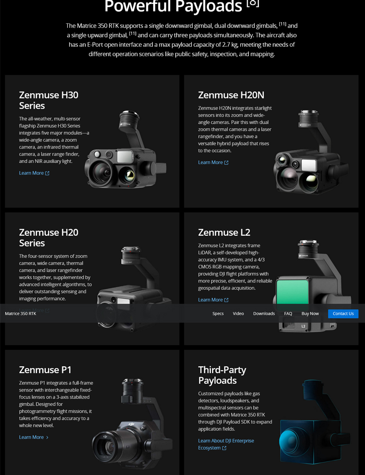
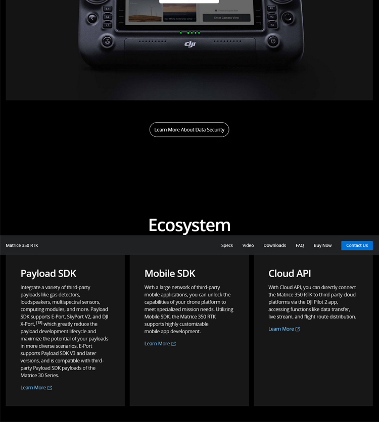
Wide Applicability and Extensibility: It supports multiple payloads and can be applied in various scenarios. Whether for construction surveying and mapping, agricultural plant protection, or urban planning, the M350 RTK can provide high-quality image data, offering valuable support for decision-making. Furthermore, its open SDK interface enables potential applications in even more fields.
Industry Applications
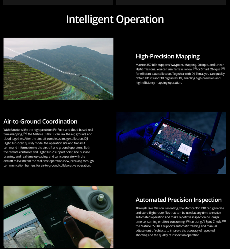
Surveying and Mapping: The M350 RTK can accurately acquire surface data and generate high-precision digital maps and 3D models, offering significant advantages in the surveying and mapping field. It helps surveyors quickly complete tasks such as terrain surveying and urban planning, enhancing work efficiency and accuracy.
Agriculture: In the agricultural sector, the M350 RTK can be used for tasks such as crop protection and monitoring. By equipping it with different sensors and payloads, it can monitor crop growth, pest and disease conditions, and other factors in real-time, providing a scientific basis for agricultural production.
Construction: For construction site inspections, the M350 RTK efficiently completes monitoring and recording tasks. It helps construction personnel promptly identify potential safety hazards, improving construction quality and safety.
Environmental Protection: The M350 RTK can also be used in environmental protection, monitoring, and assessing natural resources, wildlife populations, forest cover, and other environmental indicators. By equipping it with an infrared thermal imager or other sensors, it can achieve real-time monitoring and data analysis of the ecological environment.
Power Inspection: In power inspection, the M350 RTK efficiently completes inspection tasks for power lines. It helps inspection personnel promptly identify line faults and potential hazards, enhancing the stability and safety of the power system.
Case Study
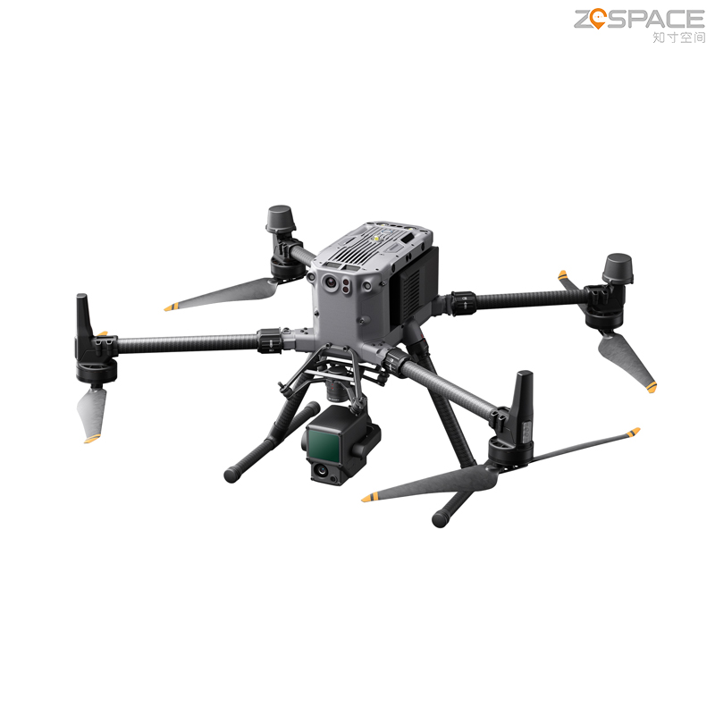
Taking river pollution discharge outlet inspection as an example, the DJI M350, equipped with the Zenmuse H20N hybrid zoom thermal imaging camera, can efficiently identify hidden discharge outlets. Through visible light zoom, wide-angle, and thermal imaging detailed inspections, it can achieve comprehensive inspection and monitoring of river pollution discharge outlets. This application not only improves inspection efficiency but also reduces the difficulty and risk of manual inspection.
In summary, the DJI M350 Industry Application Drone, with its advanced flight control system, precise positioning capabilities, intelligent obstacle avoidance functions, and multiple payload capabilities, demonstrates strong competitiveness and application value in various industry sectors.
Product parameters
I. Aircraft Parameters
Dimensions
Unfolded (excluding propellers): Length 810mm, Width 670mm, Height 430mm
Folded (including propellers): Length 430mm, Width 420mm, Height 430mm
Weight
Empty weight (excluding batteries): Approximately 3.77kg
Empty weight (including dual batteries): Approximately 6.47kg
Maximum payload for single gimbal shock absorber: 960g
Maximum takeoff weight: 9.2kg
Operating Frequency: 2.4000 GHz to 2.4835 GHz, 5.150 GHz to 5.250 GHz (CE: 5.170 GHz to 5.250 GHz). Note that some regions do not support the 5.1 GHz and 5.8 GHz bands, and in some areas, the 5.1 GHz band is for indoor use only. Details should be referred to local laws and regulations.
Transmit Power: Varies according to operating frequency and regional standards. Specific values can be referred to official data.
Hovering Accuracy
Vertical in no-wind or light-wind environments: ±0.1m (when visual positioning is working normally), ±0.5m (when GNSS is working normally), ±0.1m (when RTK positioning is working normally)
Horizontal: ±0.3m (when visual positioning is working normally), ±1.5m (when GNSS is working normally), ±0.1m (when RTK positioning is working normally)
RTK Positioning Accuracy (when RTK FIX is achieved): 1cm + 1ppm (horizontal), 1.5cm + 1ppm (vertical)
Maximum Rotational Speed: Pitch axis 300°/s (25° when in N mode and forward visual system is enabled)
Ascent/Descent Speeds
Maximum ascent speed: 6m/s
Maximum descent speed (vertical): 5m/s
Maximum descent speed (tilted): 7m/s
Flight Speeds
Maximum horizontal flight speed: 23m/s
Maximum flight altitude: 5000m (when using 2110s propellers and takeoff weight is no more than 7.4kg; or when using 2112 plateau silent propellers and takeoff weight is no more than 7.2kg)
Wind Resistance: Maximum wind speed resistance of 12m/s (equivalent to a 7-level wind)
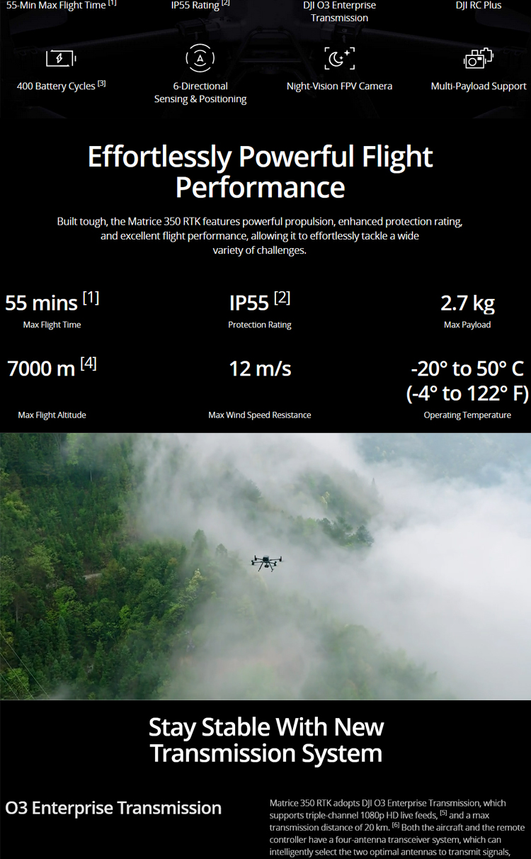
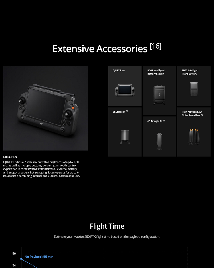
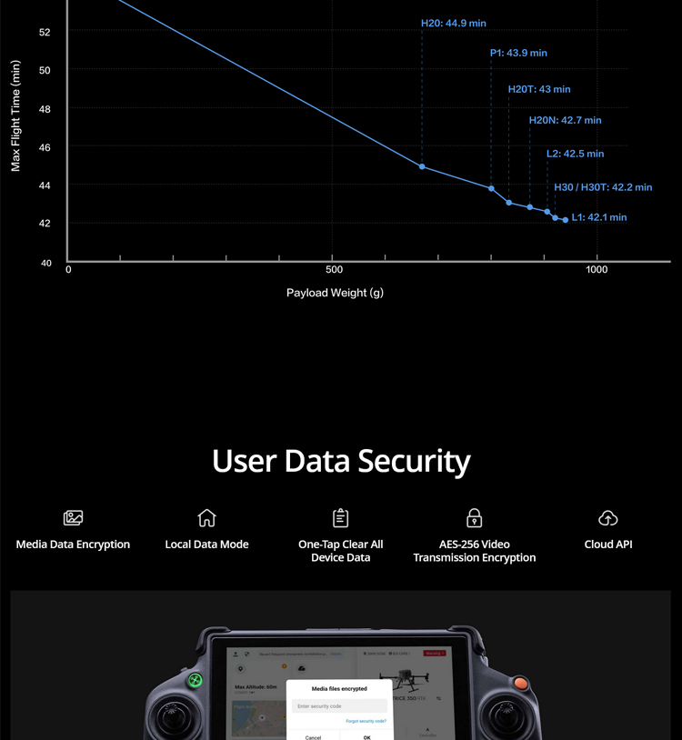
Maximum Flight Time: 55 minutes (measured in a no-wind environment and with no payload, flying forward at approximately 8m/s until the battery is depleted. This is for reference only, and actual usage time may vary due to differences in flight mode, accessories, and environment)
Applicable Gimbals: DJI gimbals such as Zenmuse H30, Zenmuse H30T, Zenmuse H20, Zenmuse H20T, Zenmuse H20N, Zenmuse L2, Zenmuse L1, Zenmuse P1. Third-party payloads are only supported if they are certified and developed based on the DJI Payload SDK.
Gimbal Installation Methods: Lower single gimbal, upper single gimbal, lower dual gimbals, lower single gimbal + upper single gimbal
GNSS: GPS + GLONASS + BeiDou + Galileo
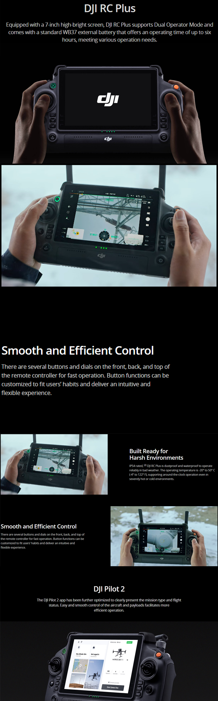
II. Remote Controller Parameters
Display: 7.02-inch touchscreen LCD, resolution 1920×1200, maximum brightness 1200 nits
Weight: Approximately 1.25kg (without WB37 battery), approximately 1.42kg (with WB37 battery)
GNSS: GPS + Galileo + BeiDou
Internal Battery: Li-ion (6500mAh@7.2V)
External Battery (WB37 Smart Battery): Capacity 4920mAh, Voltage 7.6V, Type Li-ion, Energy 37.39Wh
IP Rating: IP54
Battery Life: Internal battery approximately 3.3 hours, internal battery + external battery approximately 6 hours
Operating Environment Temperature: -20°C to 50°C
Operating Frequency: 2.4000 GHz to 2.4835 GHz, 5.725 GHz to 5.850 GHz
Transmit Power: Varies according to operating frequency and regional standards. Specific values can be referred to official data.
Wi-Fi Protocol: Wi-Fi 6
Bluetooth Protocol: Bluetooth 5.1
III. Video Transmission Parameters
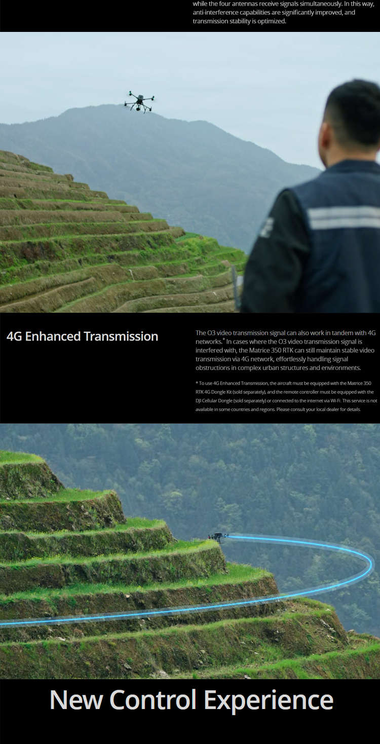
Video Transmission Solution: DJI O3 Video Transmission Industry Edition
Antennas: Four video transmission antennas, two transmit and four receive
Maximum Signal Effective Distance (unobstructed, no interference): 20km (FCC), 8km (CE/SRRC/MIC). Actual data may vary due to obstruction and interference in the operating environment.
IV. Other Parameters
Vision Sensing System: Obstacle sensing range of 0.7m to 40m in front, rear, and sides, 0.6m to 30m above and below; Field of View (FOV) 65° (horizontal) and 50° (vertical) in front and below, 75° (horizontal) and 60° (vertical) on the sides and above.
Infrared Sensing System: Obstacle sensing range of 0.1m to 8m; FOV 30° (±15°)
Flight Camera: Resolution 1080p, FOV 142°, Frame Rate 30fps
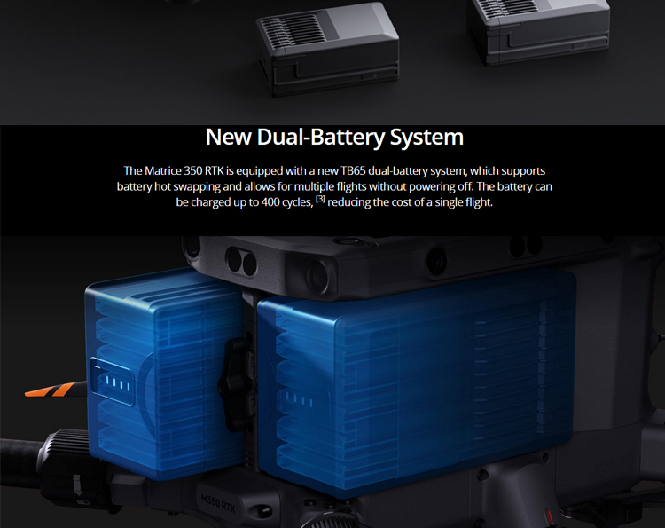
Smart Flight Battery: Model TB65, Capacity 5880mAh, Voltage 44.76V, Battery Type Li-ion, Energy 263.2Wh, Weight approximately 1.35kg
Operating Environment Temperature: -20°C to 50°C; Ideal storage temperature 22°C to 30°C; Charging temperature -20°C to 40°C. When the ambient temperature is below 5°C, the battery will activate its self-heating function.
Charging Time: When using a 220V power source, it takes approximately 60 minutes to fully charge two TB65 Smart Flight Batteries, and approximately 30 minutes to charge from 20% to 90%.
In summary, the DJI M350 RTK drone excels in dimensions, weight, hovering accuracy, flight speed, wind resistance, and maximum flight time, making it suitable for various complex environments and task requirements.
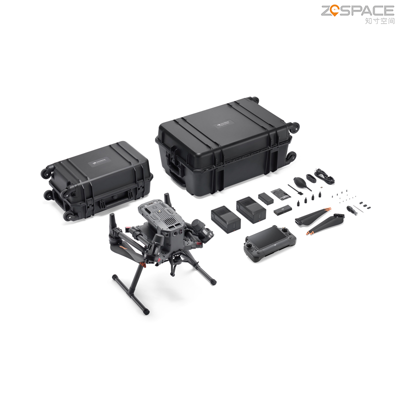
Logistics information


Logistics information
technical parameter
| Aircraft | Dimensions (unfolded, excl. propellers) | 810×670×430 mm (L×W×H) |
| Dimensions (folded) | 430×420×430 mm (L×W×H) | |
| Diagonal Wheelbase | 895 mm | |
| Weight (incl. two batteries) | Without batteries: Approx. 3.77 kgWith two TB65 batteries: Approx. 6.47 kg | |
| Single Gimbal Damper’s Max Payload | 960 g | |
| Max Takeoff Weight | 9.2 kg | |
| Operation Frequency[1] | 2.4000-2.4835 GHz 5.150-5.250 GHz (CE: 5.170-5.250 GHz) 5.725-5.850 GHz | |
| Transmitter Power (EIRP) | 2.4000-2.4835 GHz: < 33 dBm (FCC) < 20 dBm (CE/SRRC/MIC)5.150-5.250 GHz (CE: 5.170-5.250 GHz): < 23 dBm (CE)5.725-5.850 GHz: < 33 dBm (FCC/SRRC) < 14 dBm (CE) | |
| Hovering Accuracy (windless or breezy) | Vertical: ±0.1 m (with vision positioning) ±0.5 m (with GNSS positioning) ±0.1 m (with RTK positioning)Horizontal: ±0.3 m (with vision positioning) ±1.5 m (with GNSS positioning) ±0.1 m (with RTK positioning) | |
| RTK Positioning Accuracy (fixed RTK enabled) | 1 cm + 1 ppm (horizontal) 1.5 cm + 1 ppm (vertical) | |
| Max Angular Velocity | Pitch: 300°/s Yaw: 100°/s | |
| Max Pitch Angle | 30° When in N mode and with the forward vision system enabled: 25°. | |
| Max Ascent/Descent Speed | 5 m/s | |
| Max Tilt Descent Speed | 7 m/s | |
| Max Horizontal Speed | 23 m/s | |
| Max Flight Altitude | 5000 m When using the 2110s propellers and with the takeoff weight ≤ 7.4 kg.7000 m When using the 2112 High-Altitude Low-Noise Propellers and with the takeoff weight ≤ 7.2 kg. | |
| Max Wind Resistance | 12 m/s | |
| Max Hover Time [2] | 55 minutes Measured with Matrice 350 RTK flying at approximately 8 m/s without payloads in a windless environment until the battery level reached 0%. Data is for reference only. Actual usage time may vary depending on the flight mode, accessories, and environment. Please pay attention to reminders in the app. | |
| Supported DJI Gimbals | Zenmuse H30, Zenmuse H30T, Zenmuse H20, Zenmuse H20T, Zenmuse H20N, Zenmuse L2, Zenmuse L1, and Zenmuse P1 | |
| Motor Model | 3511 | |
| Third-Party Payload | Supports only certified payloads developed based on DJI Payload SDK. | |
| Global Navigation Satellite System | GPS + GLONASS + BeiDou + Galileo | |
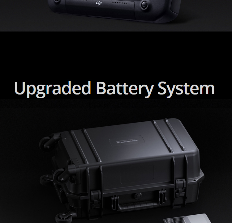
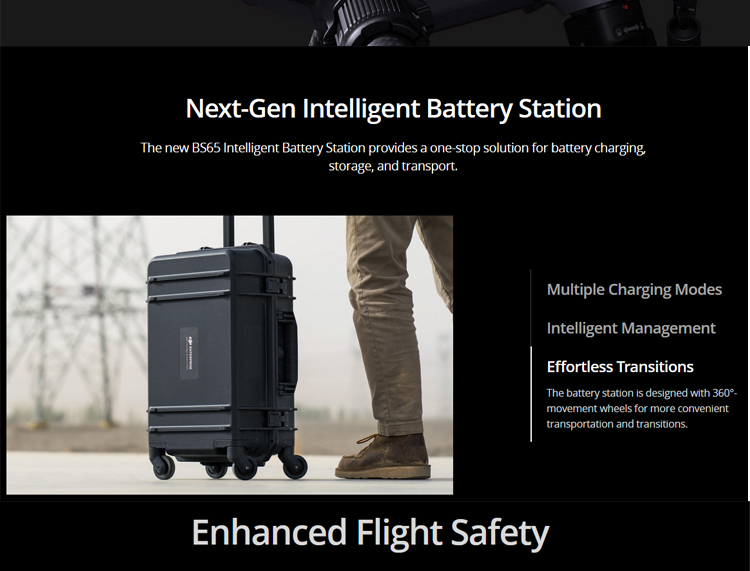
| Intelligent Battery Station | Dimensions | 580×358×254 mm (L×W×H) |
| Net Weight | Approx. 8.98 kg | |
| Compatible Battery Type | Eight TB65 Intelligent Flight Batteries Four WB37 Intelligent Batteries | |
| Input Voltage | 100-120 VAC, 50-60 Hz 220-240 VAC, 50-60 Hz | |
| Max Input Power | 1070 W | |
| Output Power | 100-120 V: 750 W 220-240 V: 992 W | |
| Charging Time[6] | With a 220V power supply, it takes approximately 60 minutes to fully charge two TB65 Intelligent Flight Batteries and approximately 30 minutes to charge them from 20% to 90%. With a 110V power supply, it takes approximately 70 minutes to fully charge two TB65 Intelligent Flight Batteries and approximately 40 minutes to charge them from 20% to 90%. |