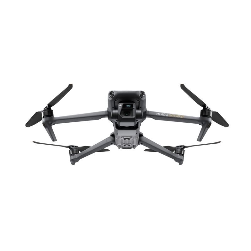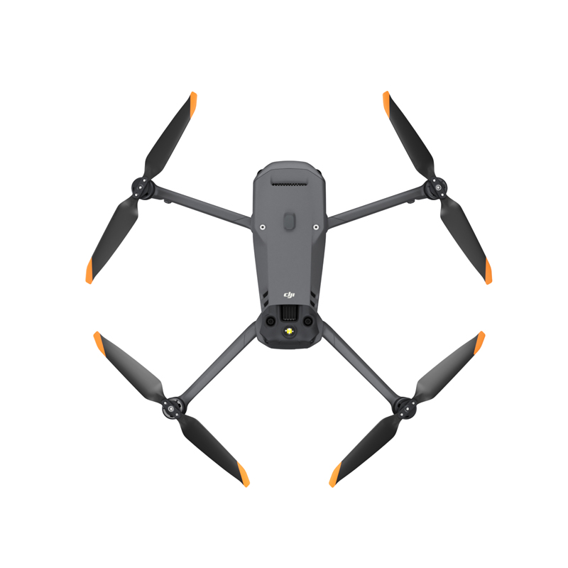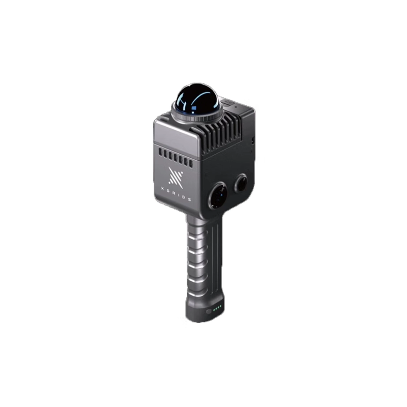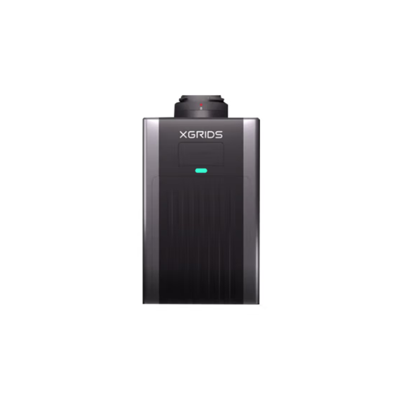
Leading China Lidar Drone Survey Supplier for Accurate Precision Mapping Solutions
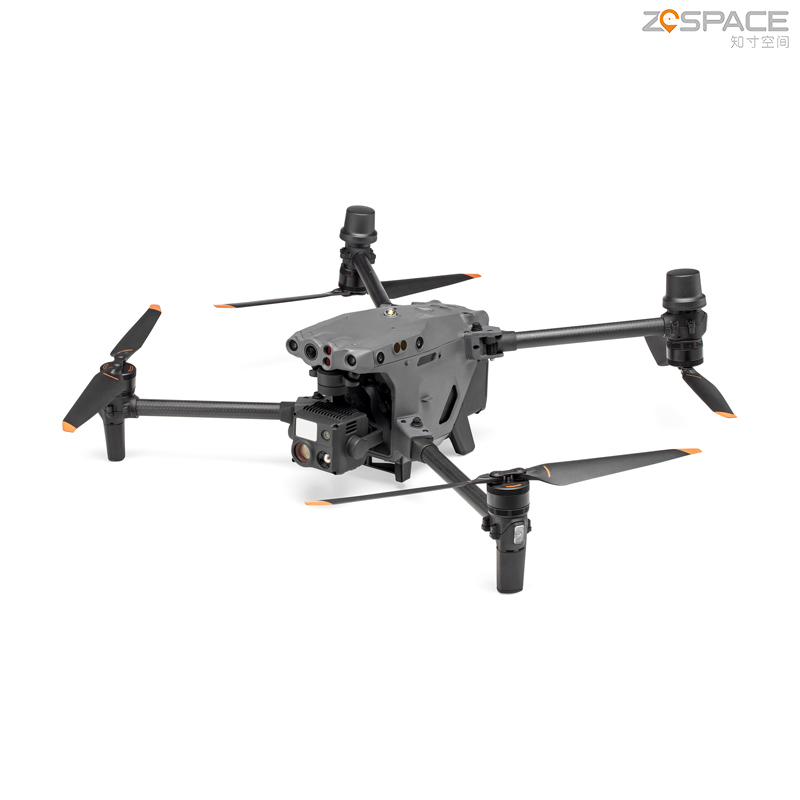
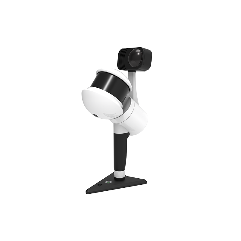
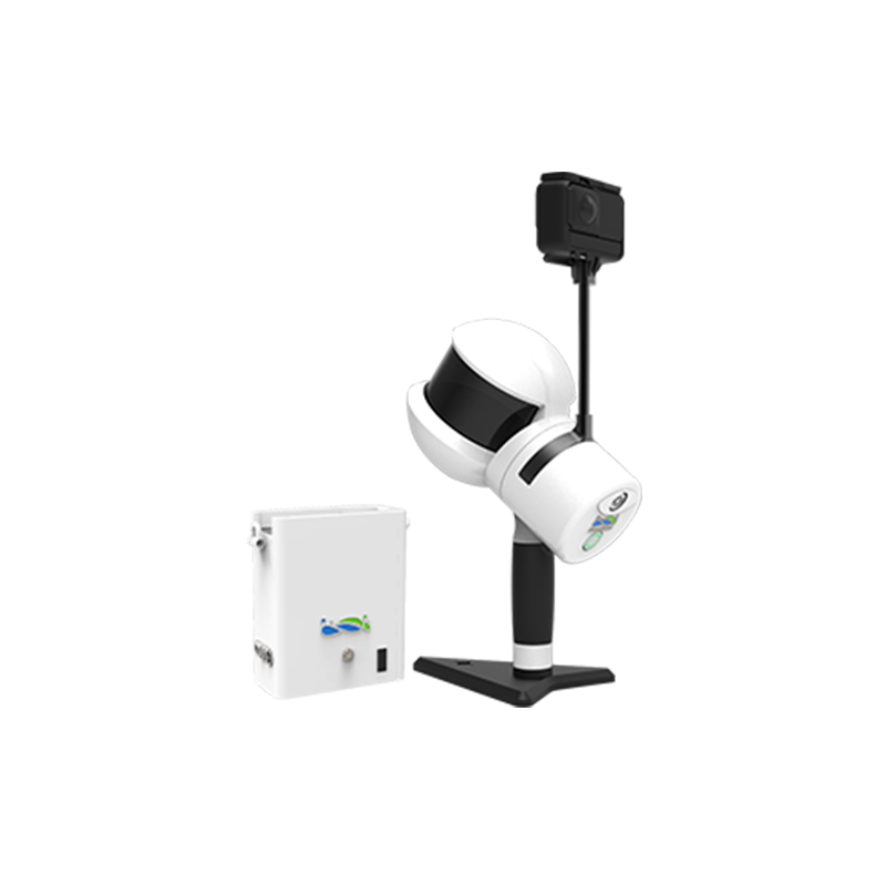
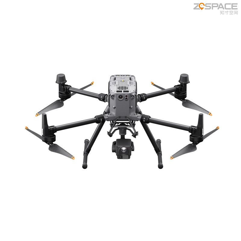
Unleash the power of advanced mapping and data collection with Chengdu Zhicun Space Surveying Instrument Co., Ltd.'s professional Lidar Drone Surveying technology. Our cutting-edge drones are equipped with state-of-the-art Lidar sensors, delivering precise measurements and intricate 3D models of a variety of terrains and landscapes. These drones are ideal for applications in forestry, agriculture, urban planning, and environmental monitoring, providing high-resolution data that enhances decision-making and boosts project efficiency. Designed for reliability and ease of use, our Lidar systems integrate smoothly into existing surveying practices, significantly minimizing fieldwork time and costs. Whether surveying extensive land areas or complex structures, our solutions excel in generating high-density point clouds and conducting topographical analysis. Transform your projects with Chengdu Zhicun’s Lidar Drone technology and turn data into meaningful insights that elevate your surveying capabilities.