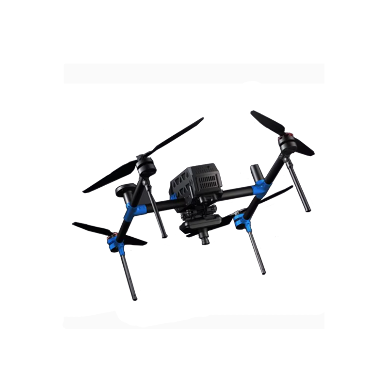
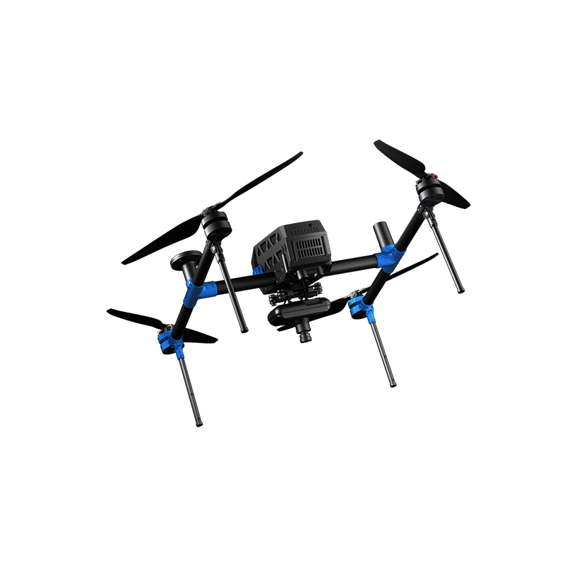
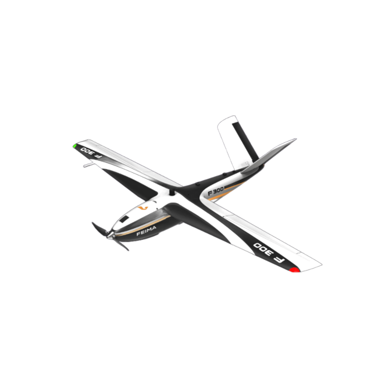
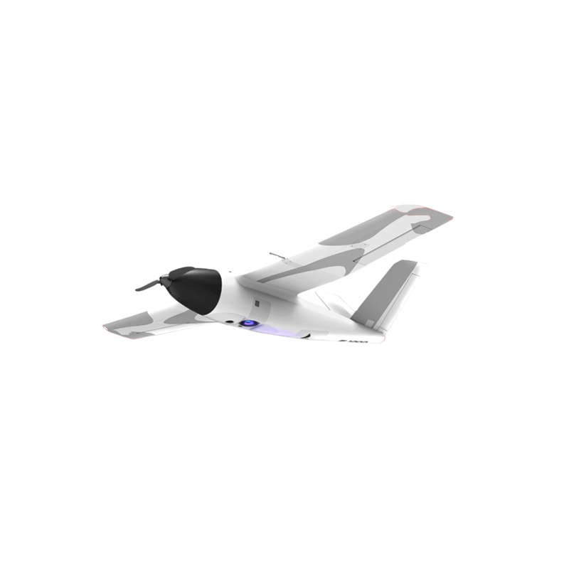
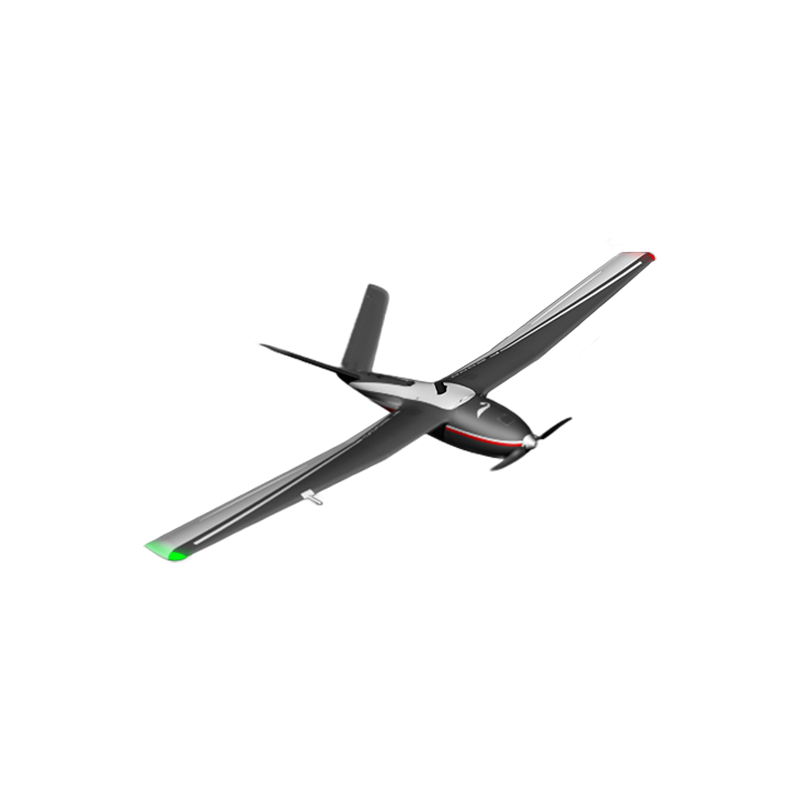


FEIMA ROBOTICS intelligent inspection system V1000 fixed wing UAV
Logistics information


Technical Features
FEIMA ROBOTICS V1000 fixed-wing UAV is the 1 high-performance and high-reliability UAV product. The following is a detailed evaluation of it:
Excellent 1. performance
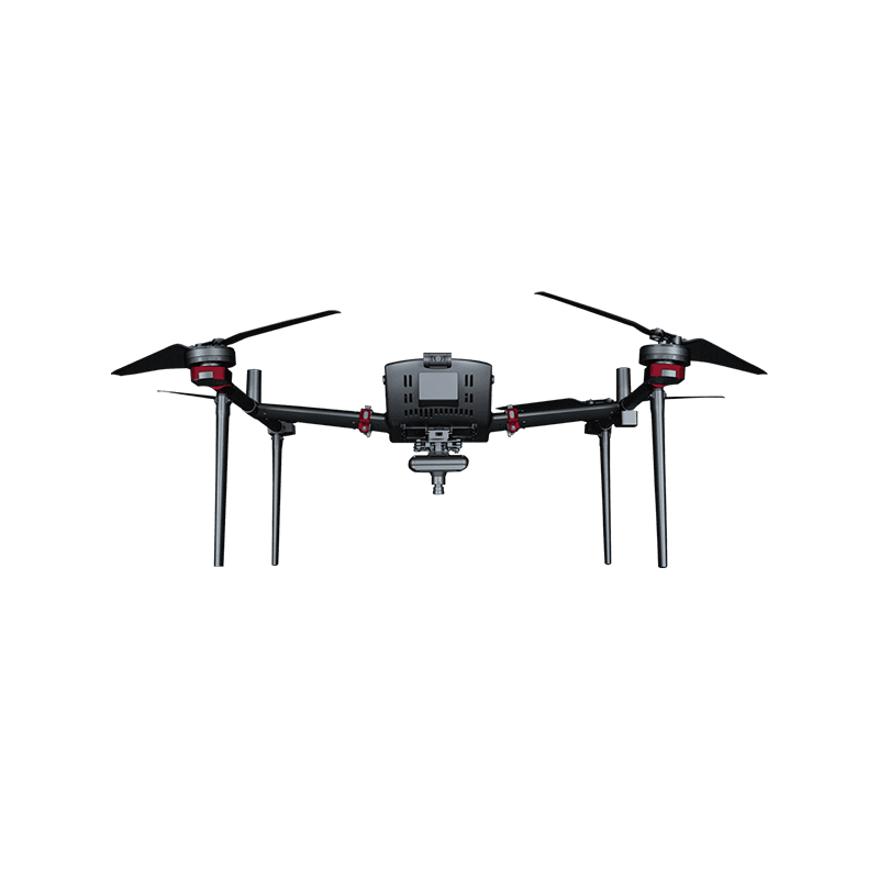
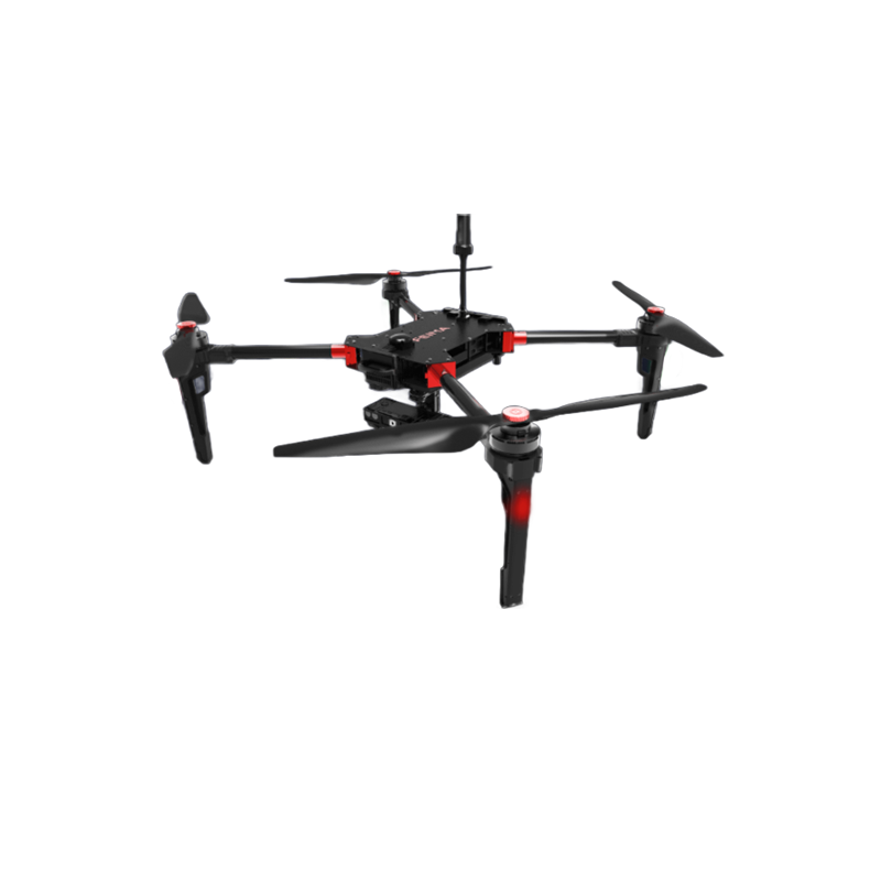
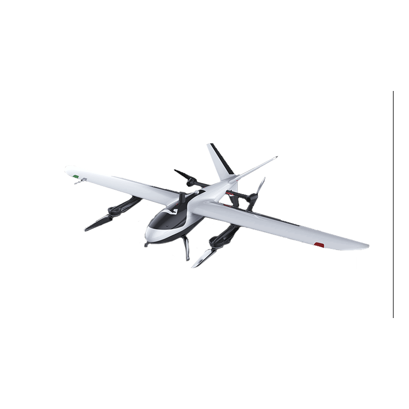
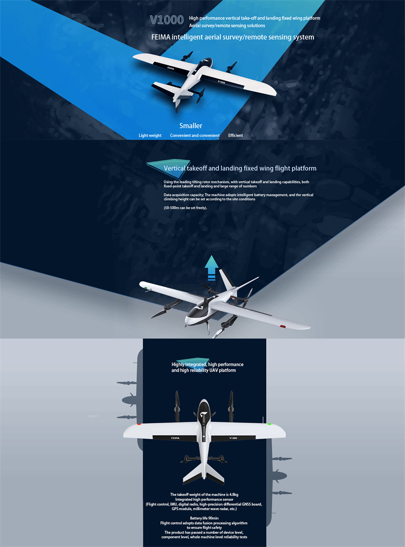
Vertical take-off and landing capability: The V1000 uses a leading tilt rotor mechanism with vertical take-off and landing capability, which enables it to take off and land flexibly in complex terrain and limited space, improving the applicability and flexibility of the UAV.
Long battery life: The V1000 can last up to 90 minutes, enabling continuous operation in a wider and more complex task environment, improving work efficiency.
High-precision sensors: V1000 integrates high-performance sensors such as flight control, IMU, data transmission radio, high-precision differential GNSS board, GPS module, millimeter wave radar, etc. to ensure the accuracy and stability of flight operations.
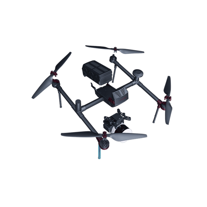
- modular design
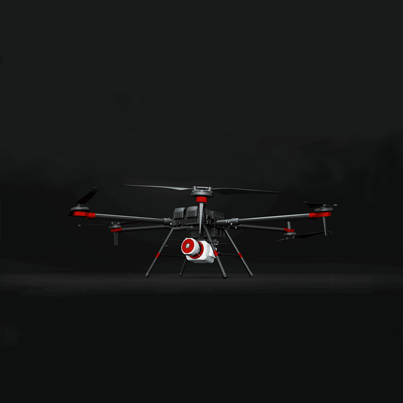
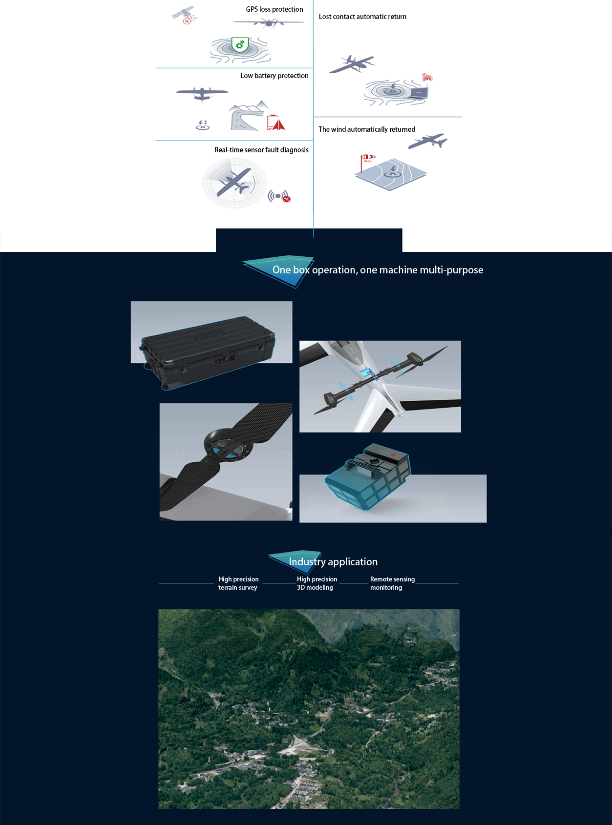
Multi-application load: V1000 is compatible with a variety of application loads, including aerial survey module, tilt photography module, thermal infrared remote sensing module, multi-spectral remote sensing module, etc., which can meet different application requirements and realize multi-purpose of one machine.
Quick release design: V1000 whole system adopts quick release design without tools, which is convenient and fast for field assembly and disassembly, and improves operation efficiency.
- safe and reliable
Intelligent battery management: V1000 adopts intelligent battery management, and the vertical climb height can be set according to the site conditions (50-500m can be set freely) to ensure the safety of flight.
Multiple safety mechanisms: V1000 is equipped with multiple safety mechanisms such as GPS loss protection, low power protection (return, landing), power-on self-test, real-time sensor fault diagnosis, lost connection automatic return, strong wind automatic return, etc., further improving the safety of flight.
- efficient operation
Accurate route planning: V1000 is equipped with "UAV butler Professional Edition" software, which supports accurate three-dimensional route planning and three-dimensional real-time flight monitoring, thus improving operation efficiency.
A variety of data processing: V1000 supports DOM, DEM, DSM, TDOM and other data processing and browsing, to meet the needs of different users.
- price and cost performance
The price of the V1000 may fluctuate due to market supply and demand, sales channels and other factors, but overall, its high performance, high reliability and modular design make it cost-effective. For users who need high-performance aerial/remote sensing drones, the V1000 is undoubtedly a worthy option.
In summary, the FEIMA ROBOTICS V1000 fixed-wing drone has performed well in terms of performance, modular design, safety, reliability, efficient operation, and cost-effectiveness. It is the 1 high-performance drone product worthy of recommend.
Performance
The parameter configuration of FEIMA ROBOTICS V1000 fixed-wing UAV is quite comprehensive and high-performance. The following is its detailed parameter configuration information:
- basic specifications
Take-off weight: 4.8kg
Endurance: 90 minutes
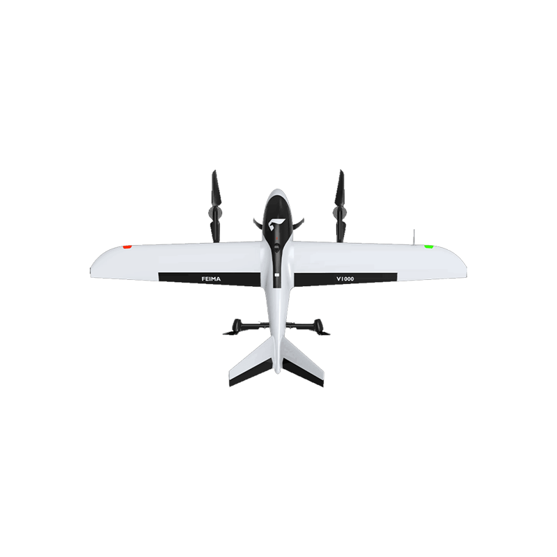
Body length: 928mm
Wingspan: 1866mm
Body height: 242mm (maximum height 367mm)
- power system
Rotor mode climb speed: 3 m/s
Rotor mode descent speed: 2.5 m/s
Fixed wing mode climb speed: 4 m/s
Fixed wing mode descent speed: 3 m/s
Smart battery: capacity 12Ah, voltage 22.8V, using high-energy batteries and advanced battery management system
- positioning system
High-precision differential GNSS board: supports PPK, RTK and its fusion operation mode, which can realize 1:500 mapping without control points.
GPS module: support L1 L2 navigation satellite signal
BeiDou module: Support B1 B2 navigation satellite signal
GLONASS module: support L1 L2 navigation satellite signal
Hover positioning accuracy (single point): horizontal 1.0m, vertical 0.5m
Hover positioning accuracy (RTK): horizontal 1cm 1ppm, vertical 2cm 1ppm
- flight performance
Cruising speed: 17-18 m/s
Service ceiling height: 6000m (altitude)
Wind resistance: level 6 (normal operation)
Measurement and control radius: ≥ 20km
take-off and landing mode: automatic vertical take-off and landing
Working temperature:-20 ℃ ~ 50 ℃
- load system
Standard load: 400g
Compatible loads: aerial survey module, tilt photography module, thermal infrared remote sensing module, multi-spectral remote sensing module, etc.
V-CAM1000 aerial survey module:
Camera model: SONY A7R Ⅲ
Sensor size: 35.9mm × 24mm
Effective pixels: 42 million (7952 x 5304)
Lens focal length: 35mm fixed focus
Resolution: 2cm @ 150m
- Software and Data Processing
UAV butler professional software: supports accurate three-dimensional route planning and three-dimensional real-time flight monitoring, has GPS fusion calculation, control point measurement, air 3 calculation, one-key mapping, one-key export of three-dimensional mapping and other functions, and provides DOM, DEM, DSM, TDOM, 2.5D model, true three-dimensional model and other data results and browsing.
Network differential system: supports PPK, RTK and its fusion processing without base station. No physical differential base station hardware equipment is required during operation. RTK flight can be carried out after account information is configured and connected to CORS.
- other features
Tilt rotor mechanism: with vertical take-off and landing capability, taking into account fixed-point take-off and landing and large-scale data acquisition capability.
Intelligent battery management: The vertical climbing height can be set according to the site conditions (50-500m can be set freely).
Safety mechanism: including GPS loss protection, low power protection (return, landing), power-on self-test, real-time sensor fault diagnosis, lost connection automatic return, strong wind automatic return, etc.
In summary, the FEIMA ROBOTICS V1000 fixed-wing UAV exhibits high performance, high reliability and high flexibility in parameter configuration, and is suitable for a variety of aerial/remote sensing application scenarios.
Logistics information