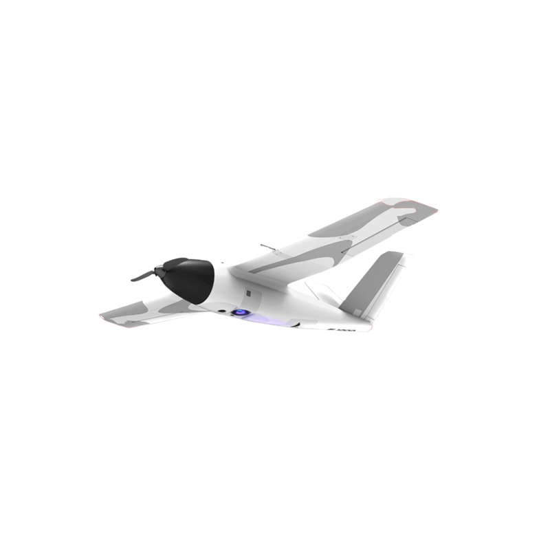
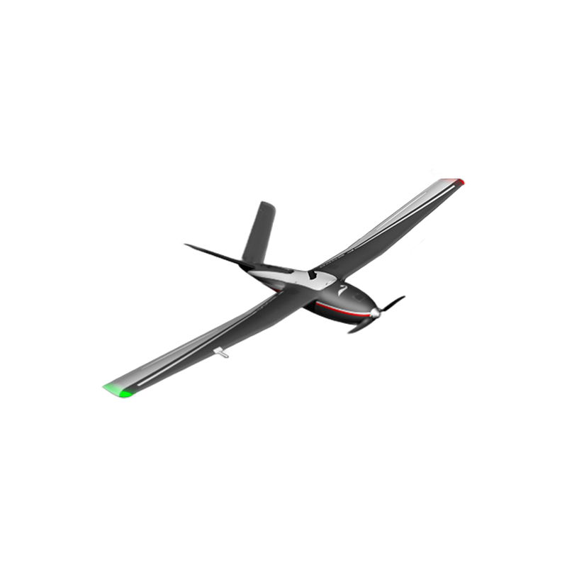

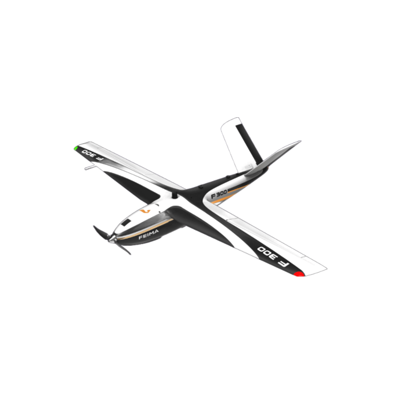
FEIMA ROBOTICS intelligent inspection system F300 fixed wing UAV
Logistics information


Technical Features
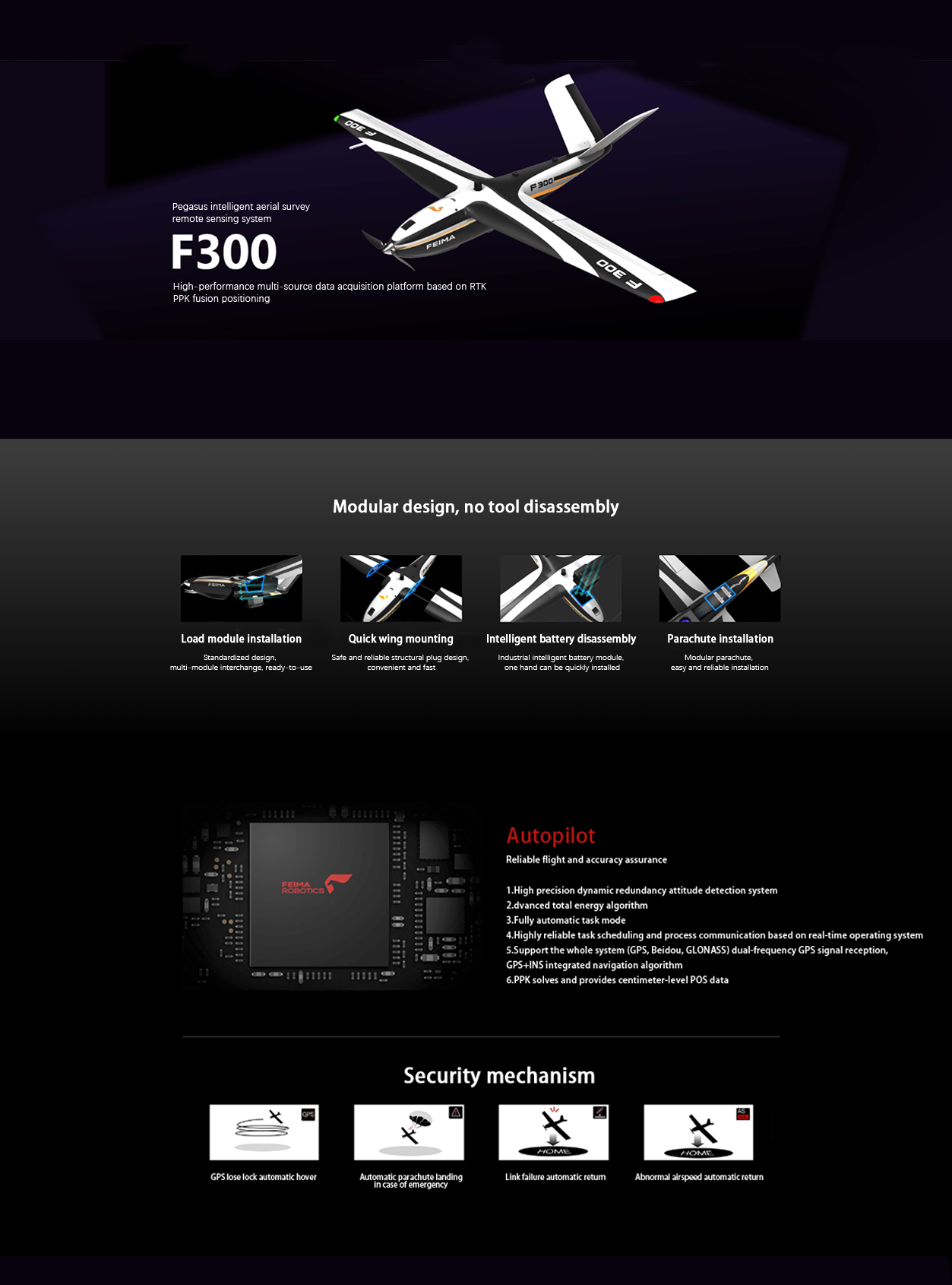
FEIMA ROBOTICS F300 fixed-wing UAV is the 1 industrial-grade intelligent aerial survey UAV system with excellent performance. The following is a detailed evaluation of it:
- high-precision mapping capability
F300 is equipped with 50Hz high-precision GNSS board, supporting PPK, RTK and PPK and RTK fusion operation mode. This high-precision positioning system enables F300 to achieve 1:500 mapping accuracy without control points, which meets the needs of high-precision aerial survey.
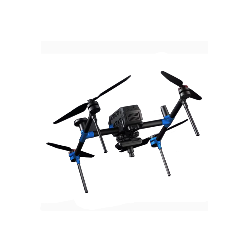
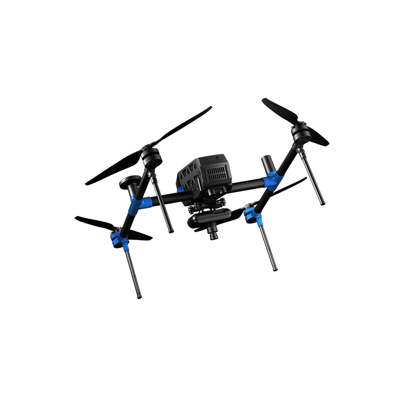
- modular mission load design
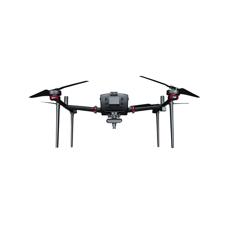
The F300 task load adopts modular design, which can provide customers with multi-source data acquisition scheme. It supports modular multi-task loads such as full-frame orthophoto loads, oblique photography loads, video loads, etc., and is equipped with professional data processing software to form a diversified data acquisition solution. This design allows the F300 to quickly change loads according to different mission requirements, improving operational efficiency and flexibility.
- robust performance and a reliable flight platform
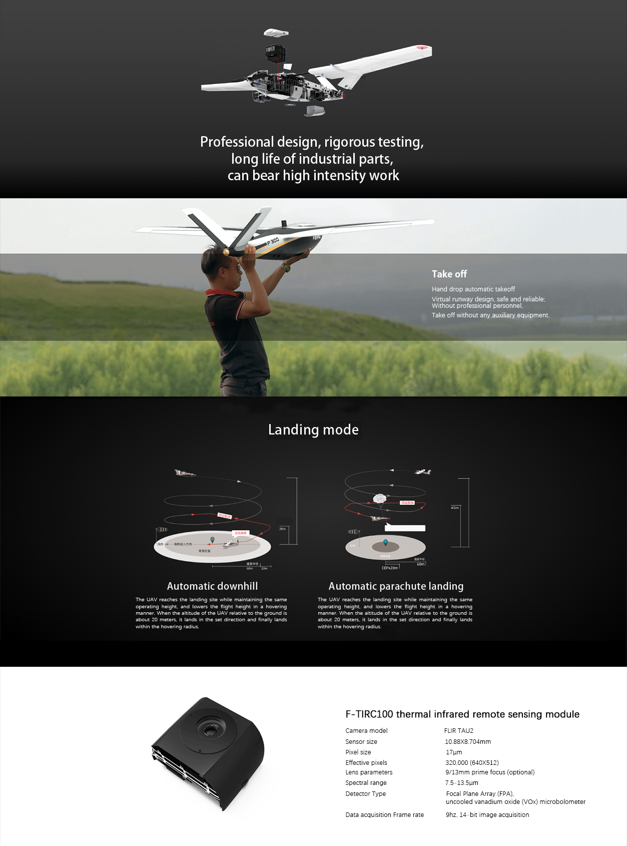
The F300 has a range of 1.5 hours and can reach up to 80km in a single flight. In GSD 4cm operation, the operation area of a single flight can reach 7 km² (ortho), 3 km²(4 camera tilt) and 0.52 km²(P40 tilt). In addition, the F300 has passed component-level and full-aircraft-level reliability tests, and has a number of fault protection mechanisms during flight, which provides a guarantee for safe and reliable flight operations.
- one-stop software solution
F300 is equipped with a one-stop aerial survey software solution of "UAV butler". The software supports the whole process operation from route design, control point measurement to air 3 processing, and provides various data results and browsing such as DOM, DSM, TDOM, 2.5D mode, true 3D model, etc. This one-stop software solution simplifies mission planning, flight control, data processing and other processes, improving operational efficiency.
- high-precision tilt module P40
F300 can also be equipped with high-precision tilt module P40, the module adopts a single camera tilt design, with synchronous exposure function, effectively solve the camera shutter delay error. With F300 high-precision aerial survey UAV products and P40 intelligent route design function in UAV butler professional edition, F300 has high-quality side texture acquisition and high-efficiency operation capability.
- Application Case and Validation
F300 has been successfully applied in many projects, such as Guangxi Chongzuo high-precision phase-free tilt project case, Jiangsu village cadastral survey project, etc. These application cases prove the strong advantages of F300 in high-precision aerial survey and 3D modeling.
In summary, the FEIMA ROBOTICS F300 fixed-wing UAV is the 1 industrial-grade intelligent aerial survey UAV system with excellent performance and powerful functions. It has the advantages of high-precision mapping capability, modular task load design, strong performance and reliable flight platform, one-stop software solution and high-precision tilt module P40. These characteristics make F300 have a wide range of application prospects and market demand in the field of aerial survey, 3D modeling and so on.
Performance
The detailed parameters of FEIMA ROBOTICS F300 fixed-wing UAV are as follows:
- basic parameters
Material: EPO carbon fiber composite material
Wingspan: 1.8m
Captain: 1.07m
Standard takeoff weight: 3.75kg (aerial survey system)
Maximum takeoff weight: 3.85kg (tilt system)
- flight performance
Cruising speed: 60 km/h
Maximum battery life: 1.5h
Maximum hand-thrown take-off altitude: 4500m
ceiling: 6000m (altitude)
Flying really high: 150~1500m
Measurement and control radius: 10km
Take-off and landing mode: hand throw take-off/automatic descent, parachute
- task load
Load type: multi-load interchangeable (aerial survey module/tilt module/visible video module/thermal infrared video module/thermal infrared camera module/P40 tilt module)
- P40 Tilt Module Parameters
Camera model: SONY DSC-RX1R II
Sensor size: 35.9 x 24.0mm
Effective pixels: 42 million (7952 x 5304)
Lens parameters: 35mm fixed focus
Lens angle: rear 40 ° (backward tilt)
Acquisition resolution: better than 3.5cm
- other module parameters
F-CAM300 aerial survey module
Sensor size: 35.9 x 24mm (full frame)
Effective pixels: 42 million (7952 x 5304)
Lens parameters: 35mm fixed focus
Resolution: 2cm @ 150m
F-TIRC100 thermal infrared remote sensing module
Camera model: FLIR TAU2
Sensor size: 10.88 x 8.704mm
Pixel size: 17μm
Effective pixels: 320000 (640 x 512)
Lens parameters: 9/13mm fixed focus (optional)
Spectral range: 7.5 ~ 13.5μm
Data acquisition frame rate: 9hz,14-bit image acquisition
F-OP200 Tilt Module
Camera model: SONY DSC-RX0
Number of lenses: 4
Sensor size: 13.2 x 8.8mm(1 inch)
Effective pixels: 15 million (4800 x 3200) x 4
Lens parameters: 7.7mm (equivalent focal length 24mm)
Lens angle: 32 °
F-EOV100 visible light video module
Video resolution: 1920 × 1080/30 frames
Zoom factor: 10x optical zoom/f = 4.9~49mm
Picture transmission: 1080P digital transmission, picture transmission distance ≮ 10km, picture transmission delay ≯ 300ms
Video pan-tilt: single-axis gyro stabilization pan-tilt
F-TIRV100 thermal infrared video module
Video resolution: 640 × 512/25 frames
Zoom multiple: 10x optical zoom/f = 4.9~49mm, digital zoom 2 times, 4 times
NETD≤50mk@25℃
Stabilizing gimbal: single-axis stabilizing gimbal
Picture transmission distance: 10km
Image transmission compression standard: H.264
- other parameters
Navigation satellites: GPS(L1 L2,50Hz),BeiDou(B1 B2,50Hz), differential mode PPK/RTK
Wind resistance: Level 5
Task response time: deployment ≤ 5min, withdrawal ≤ 10min
These parameters together constitute the powerful performance of FEIMA ROBOTICS F300 fixed-wing UAV, which makes it have a wide range of applications in high-precision aerial survey, 3D modeling and other fields.
Logistics information