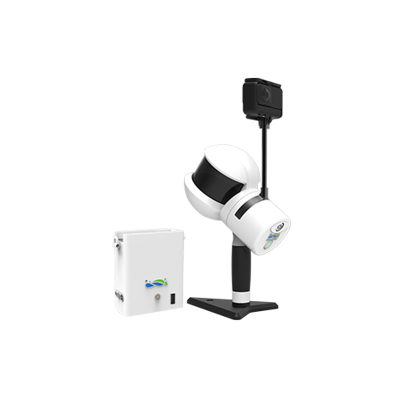
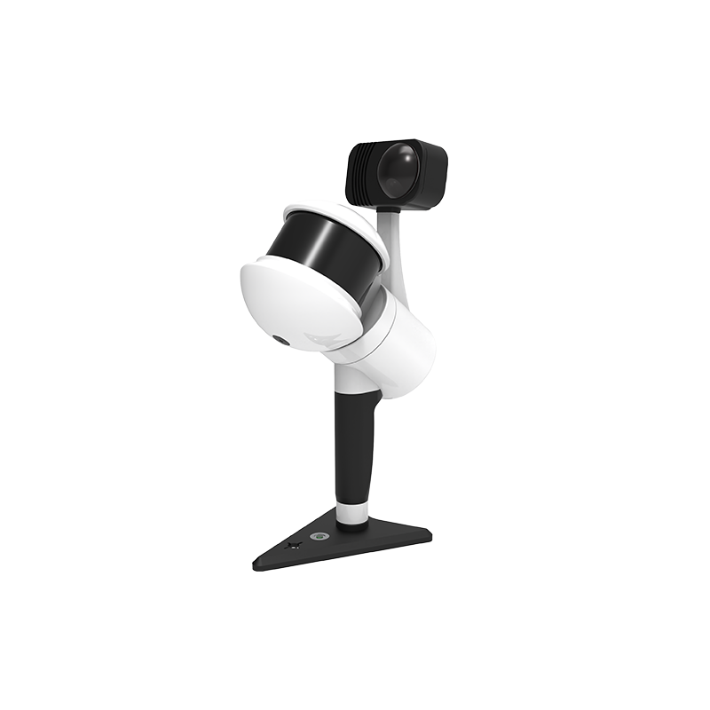
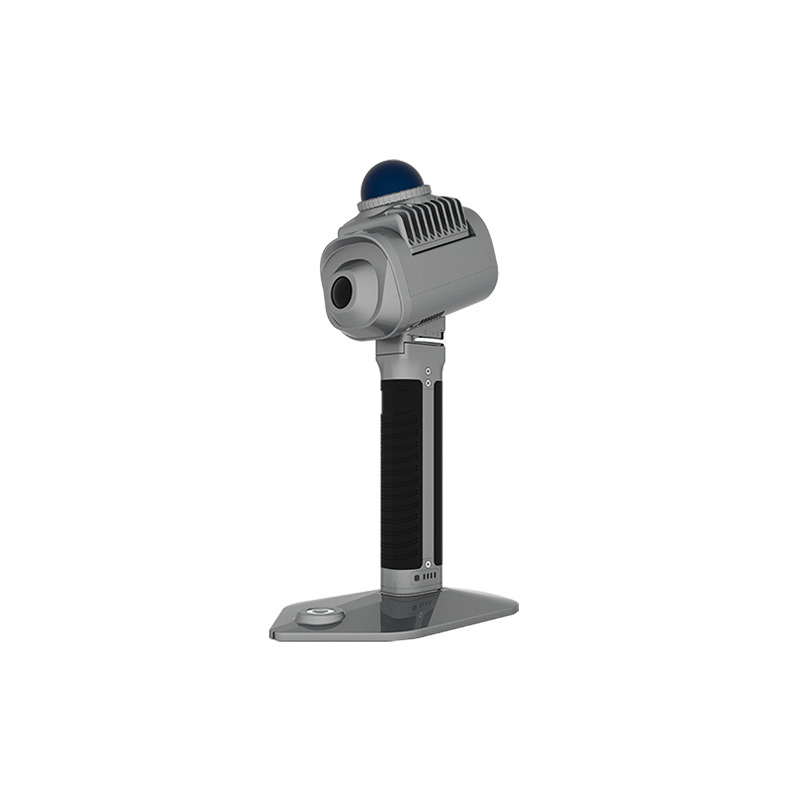
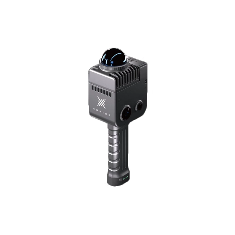
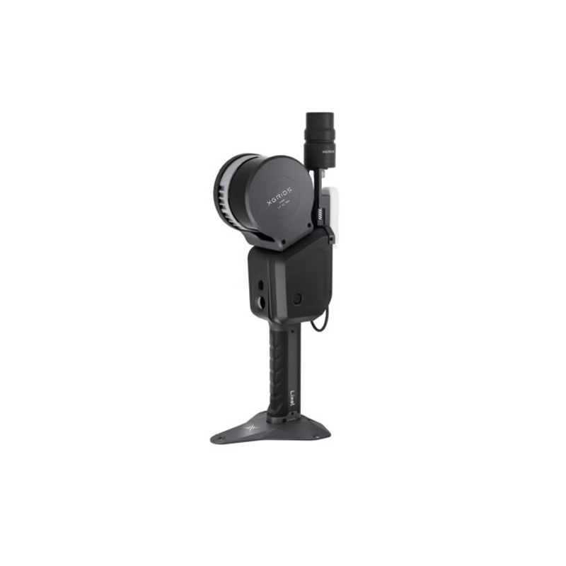
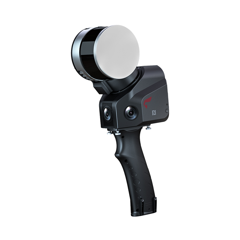


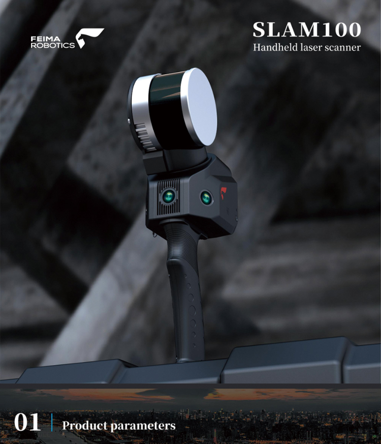
FEIMA Industry-Level SLAM100 Handheld Laser Scanner Automatic Control SLAM 3D Point Cloud Data
Product Features
High Precision and High Definition
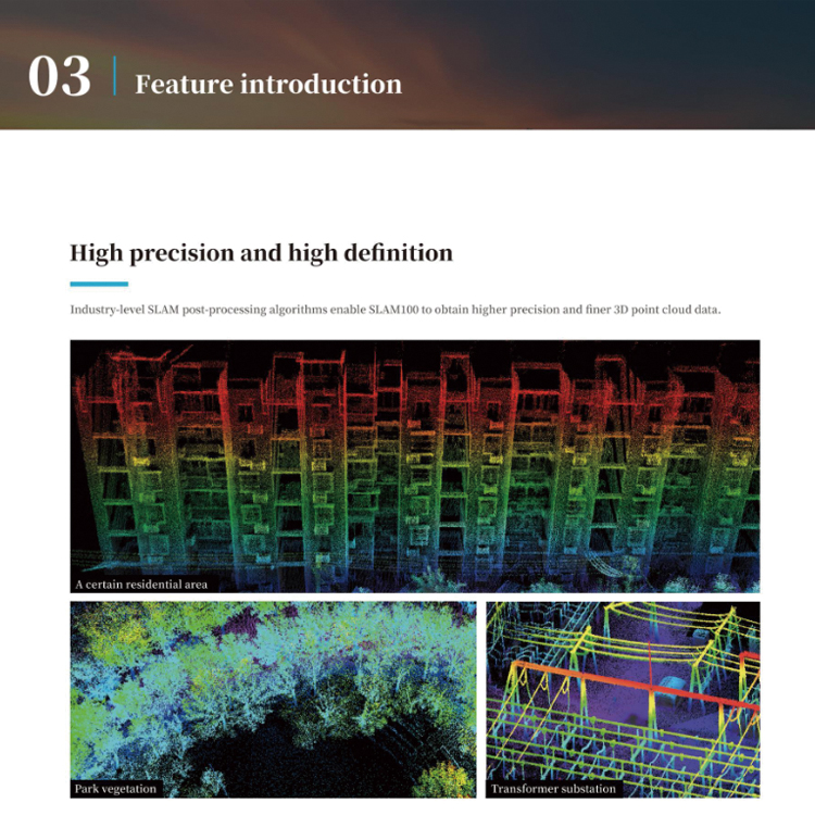
Industry-level SLAM post-processing algorithms enable SLAM100 to obtain higher precision and finer 3D point cloud data.
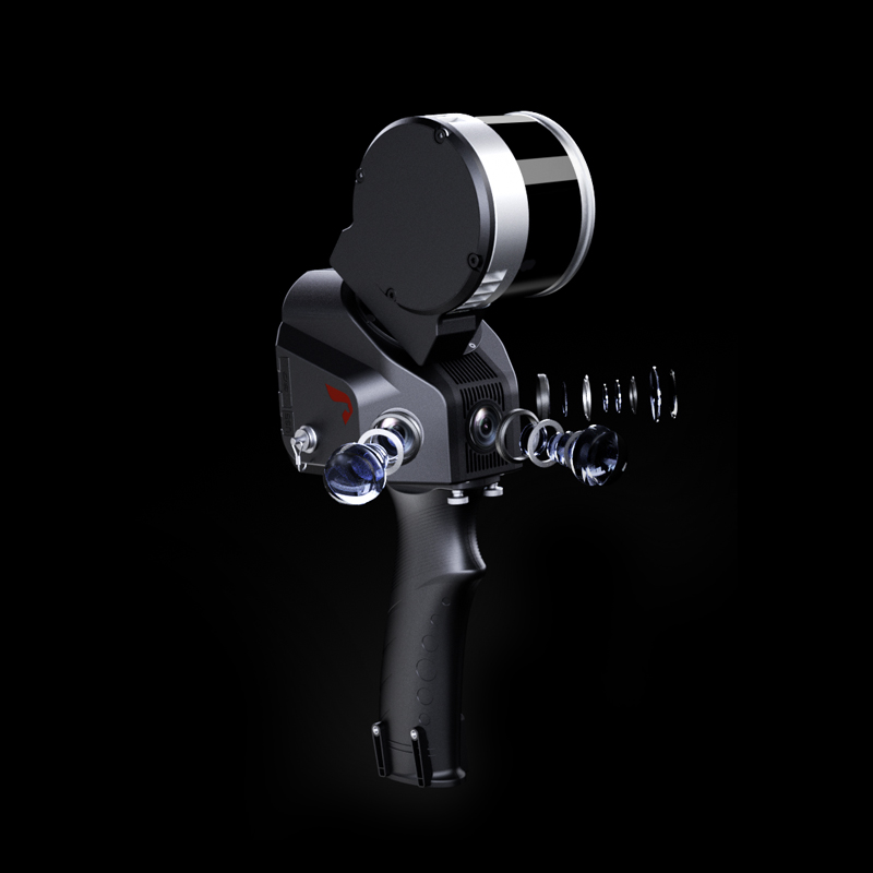
The Visible Light Cameras
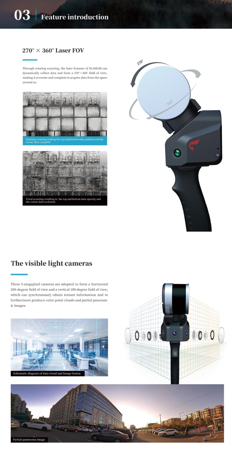
Three 5-megapixel cameras are adopted to form a horizontal 200-degree field of view and a vertical 100-degree field of view, which can synchronously obtain texture information and to furthermore produce color point clouds and partial panoramic images.
Automatic Control Point Measurement
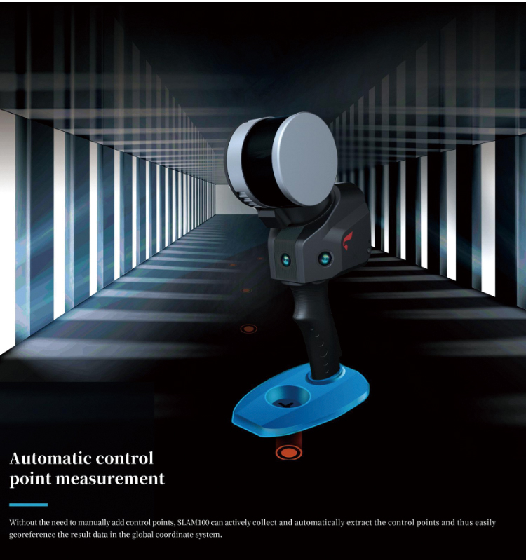
Without the need to manually add control points, SLAM100 can actively collect and automatically extract the control points and thus easily georeference the result data in the global coordinate system.
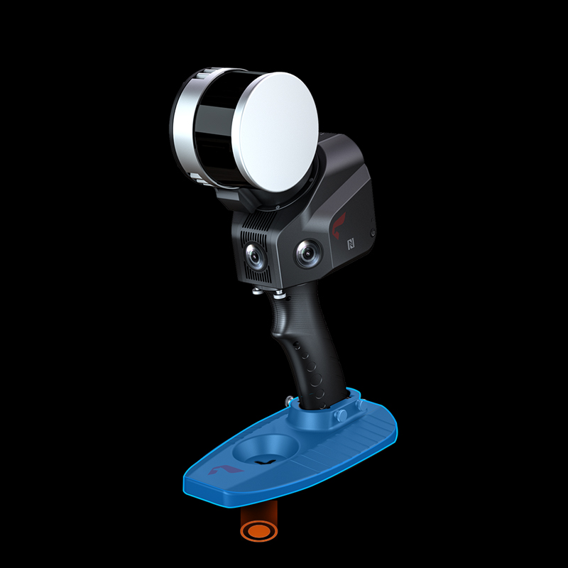
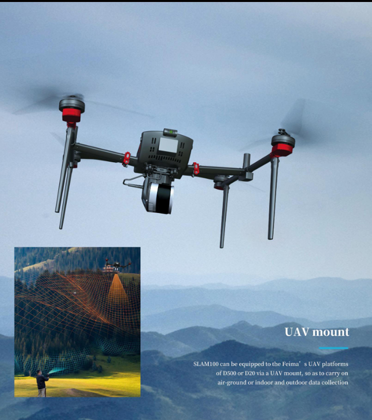
UAV Mount
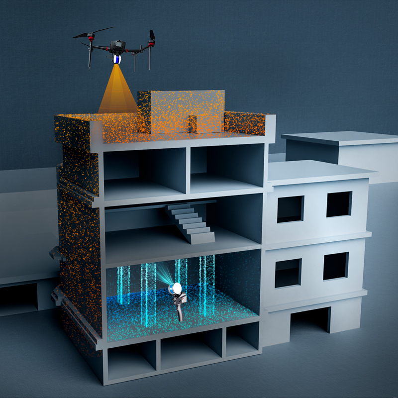
SLAM100 can be equipped to the Feima's UAV platforms of D500 or D20 via a UAV mount, so as to carry on air-ground or indoor and outdoor data collection.
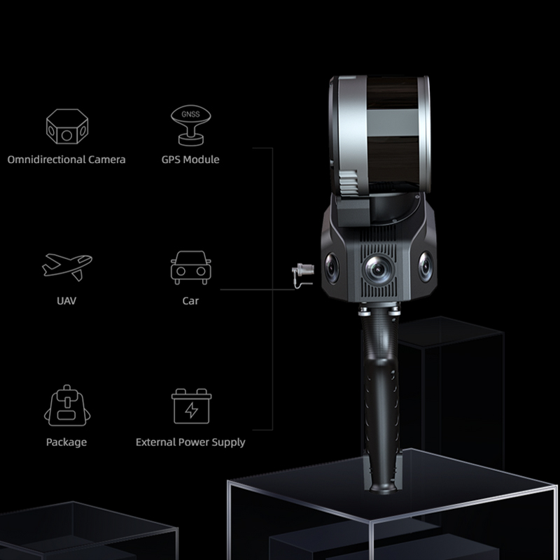
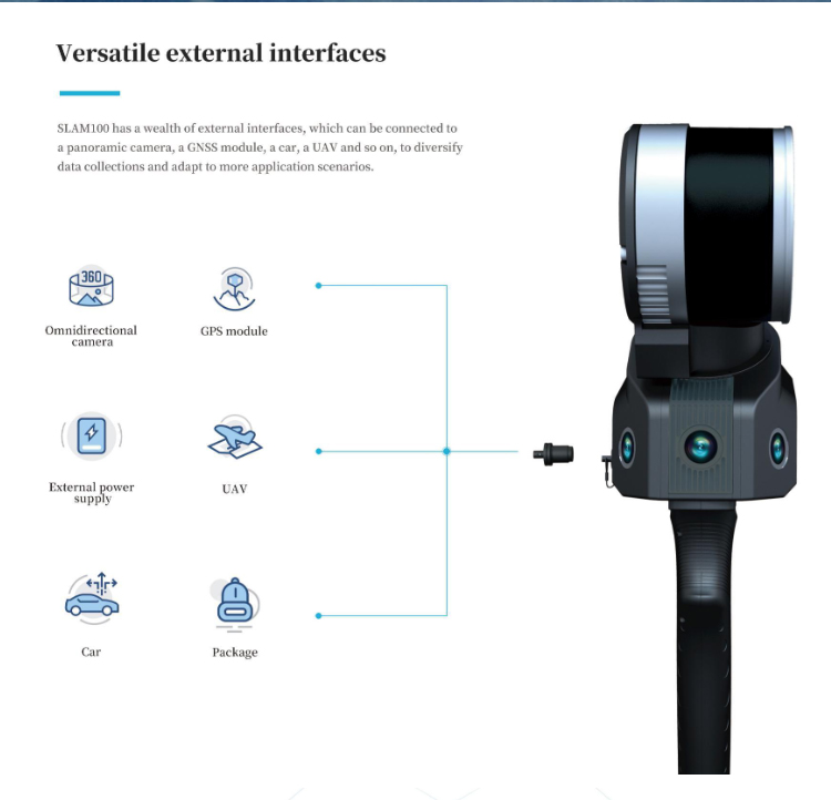
Versatile External Interfaces
SLAM100 has a wealth of external interfaces, which can be connected to a panoramic camera, a GPS module, a car, a UAV and so on, to diversify data collections and adapt to more application scenarios.
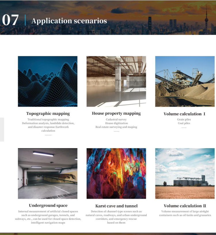
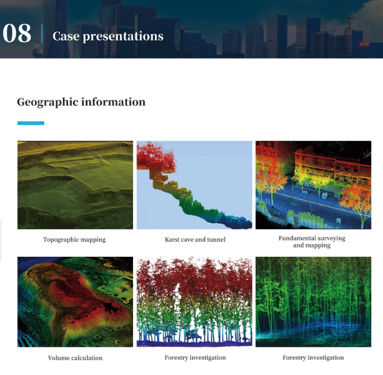
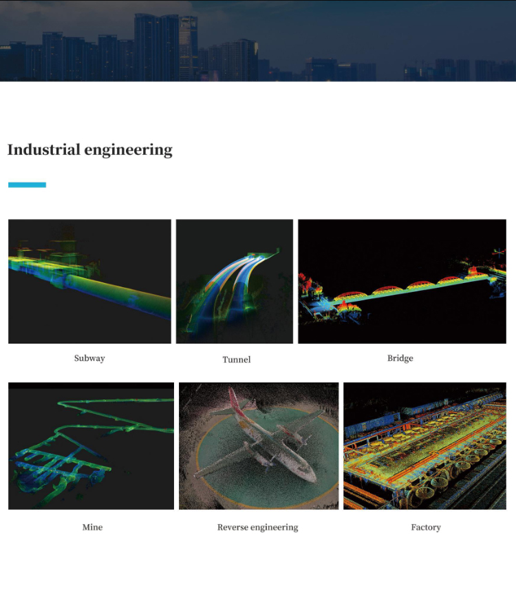
application scenarios
The application scenarios of the Pegasus SLAM100 handheld mobile lidar scanner are very extensive, which can be summarized as follows:
Traditional surveying and mapping fields:
In topographic mapping, SLAM100 can efficiently obtain the three-dimensional point cloud data of the topographic surface, and provide accurate basic data for the drawing and updating of topographic maps.
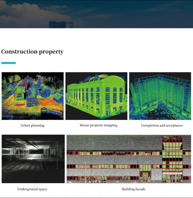
In engineering measurement, it can be used for accurate measurement and monitoring of buildings, bridges, roads and other infrastructure to ensure engineering quality and safety.
Enclosed space mapping:
In tunnels, mines, basements and other closed or semi-closed spaces, SLAM100 can take advantage of its advantages without GPS signals, accurately obtain three-dimensional data in space, and provide strong support for space planning, design and maintenance.
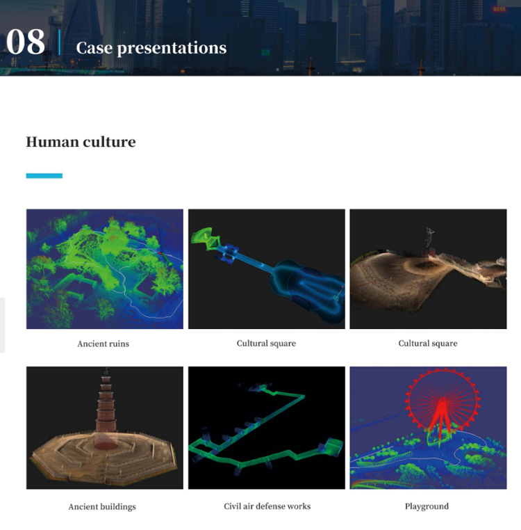
Digital 3d modeling:
SLAM100 high-precision and high-precision data acquisition capabilities make it an ideal tool for digital 3D modeling. It can be used for cultural heritage protection, urban planning, architectural design and other fields of three-dimensional modeling work, for the relevant areas of decision-making and planning to provide intuitive, accurate three-dimensional model.
Emergency:
In emergency scenarios such as natural disasters and accidents, SLAM100 can quickly obtain the three-dimensional data of the scene, provide accurate on-site information for rescuers, and help them formulate effective rescue plans.
At the same time, it can also be used for post-disaster assessment and reconstruction work to provide a scientific basis for post-disaster recovery.
Indoor and outdoor integration of data acquisition:
SLAM100 support mounted on the flight platform, to achieve air-ground integration, indoor and outdoor integration of data acquisition. This makes it possible to obtain comprehensive three-dimensional data in complex environments and provide more comprehensive data support for urban planning, environmental monitoring and other fields.
Other application scenarios:
In the field of agriculture, SLAM100 can be used for farmland topographic survey, crop growth monitoring and so on.
In the field of forestry, it can be used for the investigation, monitoring and evaluation of forest resources.
In the field of archaeology, it can help archaeologists obtain the three-dimensional data of the site and provide strong support for the protection and research of the site.
In summary, Pegasus SLAM100 handheld mobile lidar scanner with its wide range of application scenarios and powerful functions, in surveying and mapping, planning, design, monitoring and other fields play an important role.
Logistics information


Logistics information
technical parameter
| Overall parameters | Laser scanning FOV | 270° x 360° |
| Relative accuracy | 2cm | |
| Storage | 32 GB ( standard ) | |
| External power supply voltage | 20 V ~ 30 V | |
| Internal battery life | 2.5 h | |
| Operating temperature | -10 ℃~ 45 ℃ | |
| Weight | 1588 g ( without battery ) | |
| Camera FOV | 200° ( H ) x 100° ( V ) | |
| Absolute accuracy | 5cm | |
| Power supply | Replaceable battery External power supply | |
| Internal battery | 3350 mAh x 4 | |
| Power consumption | 25 W | |
| Working humidity | <85 % RH | |
| Size | 372 mm x 163 mm x 106 mm ( without base ) | |
| Sensor parameters | Laser class | Class 1 |
| Maximum ranging | 120 m | |
| Echo signal intensity | 8 bits | |
| Camera resolution | 5 MP | |
| Laser channels | 16 | |
| Laser pulse repetition rate | 320 kpts/s | |
| Number of cameras | 3 | |
| NFC | Supported |