Affordable Drone Land Surveying: Trusted Exporters and Factories You Can Rely On
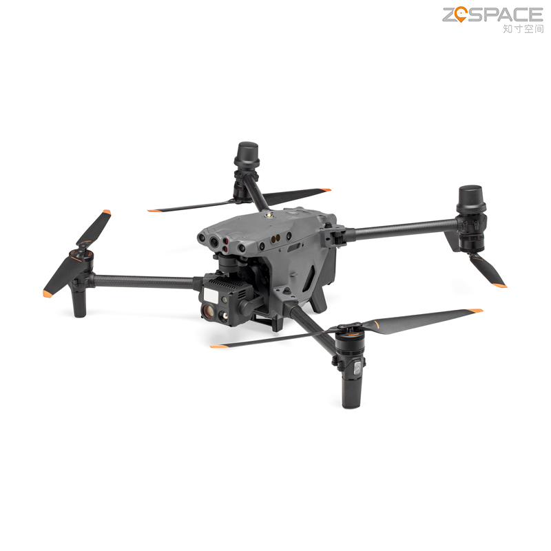
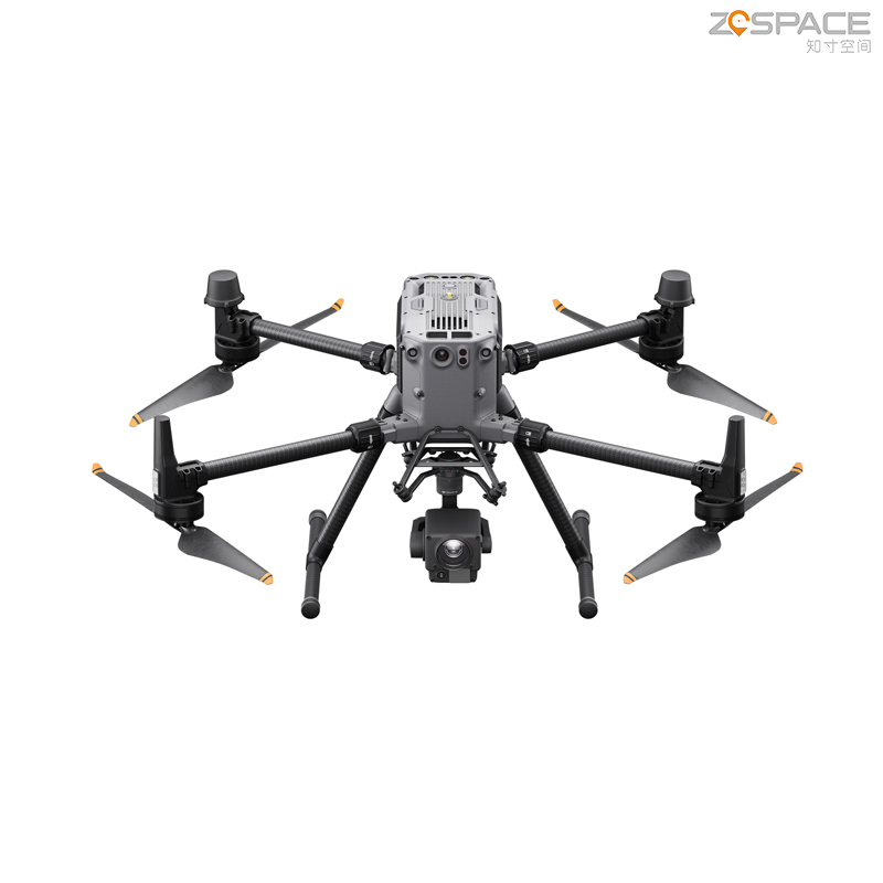
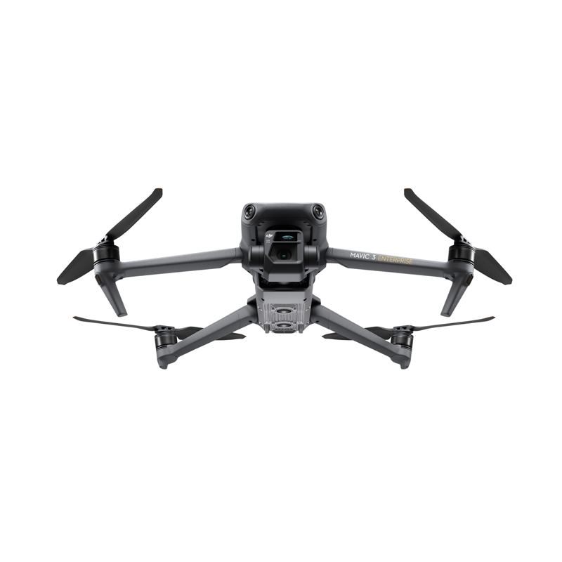
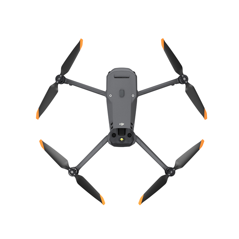
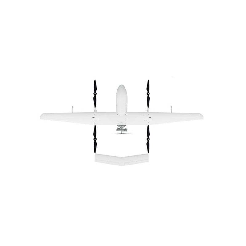
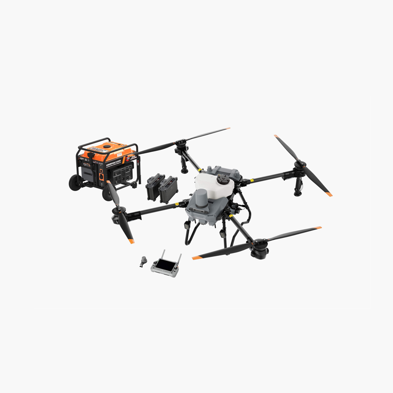
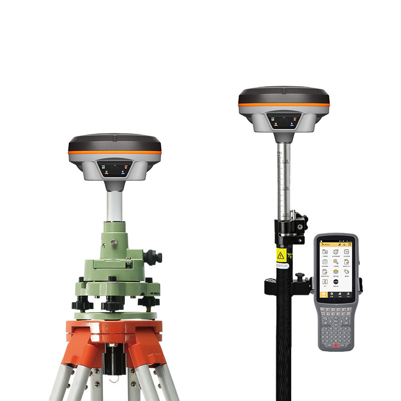
Experience the advantages of advanced Drone Land Surveying solutions from Chengdu Zhicun Space Surveying Instrument Co., Ltd. Our high-performance drones are meticulously crafted to provide precision and efficiency in capturing high-resolution aerial imagery and intricate topographic data. Suitable for a variety of applications, including construction, urban planning, and environmental monitoring, our drones ensure exceptional flight stability and facilitate real-time data collection, effectively minimizing the time and costs compared to traditional surveying methods. Equipped with cutting-edge sensors and GPS technology, these drones guarantee accuracy and reliability, making them indispensable tools for surveyors and engineers. Enhance your project outcomes and benefit from our extensive training and support services. Embrace the future of land surveying with Chengdu Zhicun Space Surveying Instrument Co., Ltd., where innovation aligns with expertise.