Top GNSS Solutions for OEM Drones from Leading Manufacturers & Factories
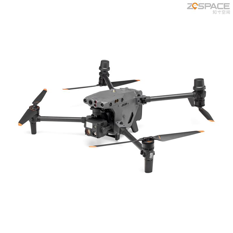
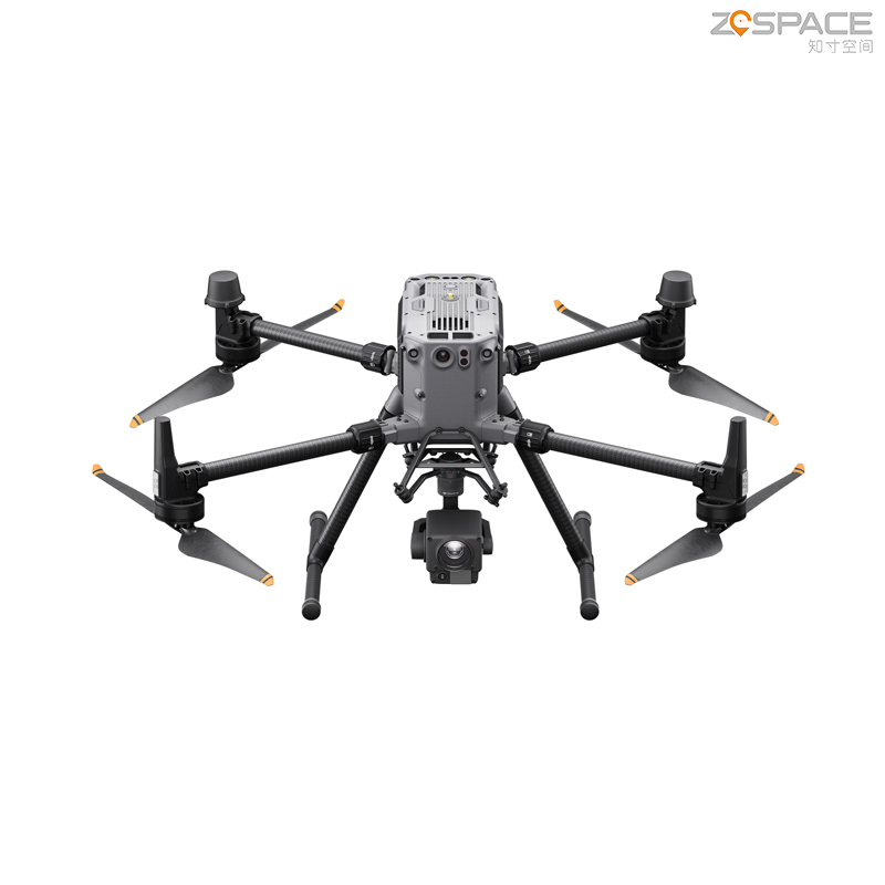
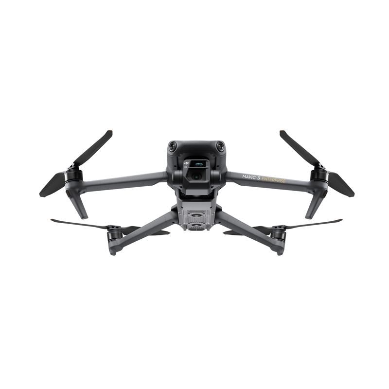
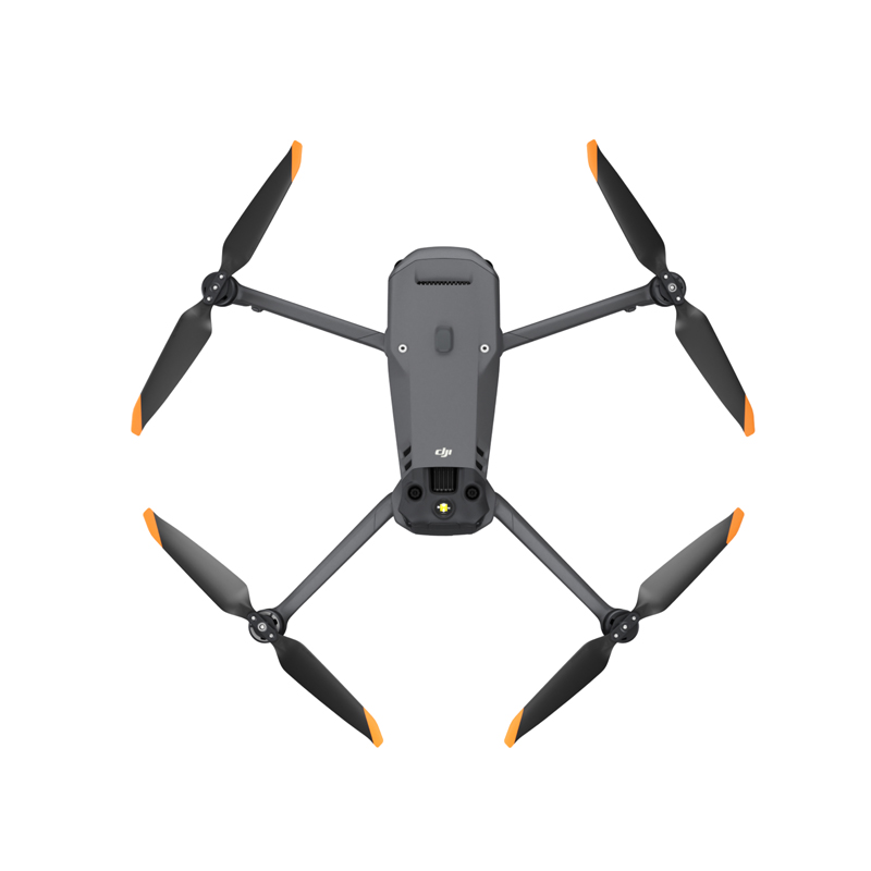
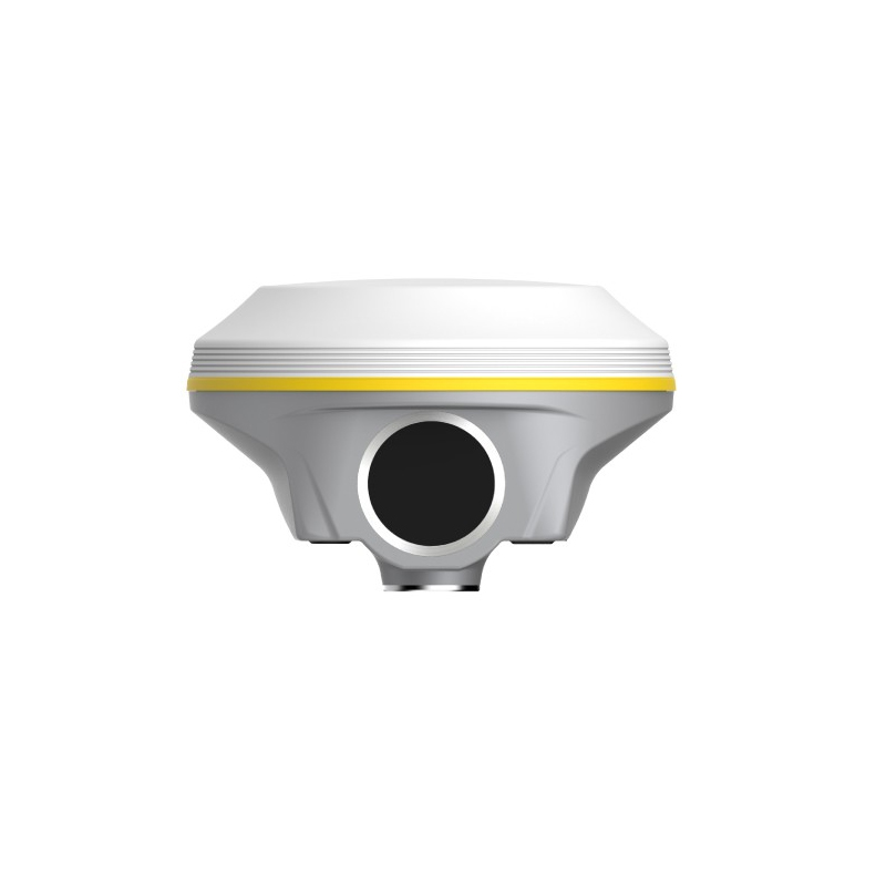
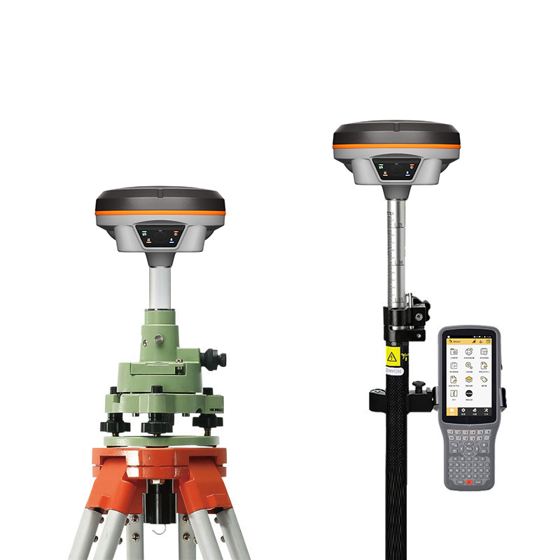
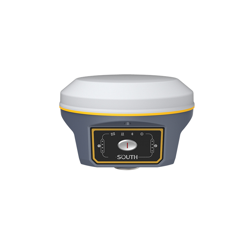
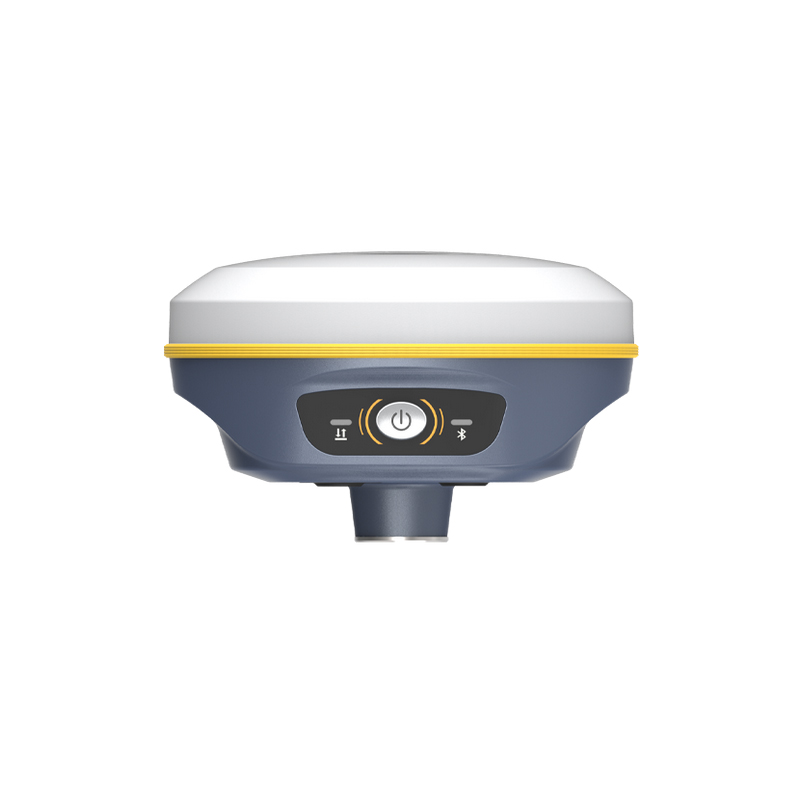
Chengdu Zhicun Space Surveying Instrument Co., Ltd. is transforming aerial mapping and surveying with its innovative Drone GNSS technology. This state-of-the-art system combines high-precision Global Navigation Satellite System (GNSS) capabilities with advanced drone technology, enabling exceptional accuracy in various applications. Tailored for professionals in surveying, agriculture, and construction, this Drone GNSS solution boosts efficiency and elevates data quality. Real-time data processing and strong connectivity ensure accurate positioning and seamless operation even in challenging conditions. With its user-friendly interface and versatile design, it suits both experienced surveyors and newcomers. Harness the benefits of aerial data collection integrated with GNSS precision, optimizing workflows and enhancing project outcomes. Trust in Chengdu Zhicun's dedication to innovation and quality, providing reliable tools that fulfill the requirements of modern surveying and mapping projects. Elevate efficiency and accuracy with our advanced Drone GNSS technology.