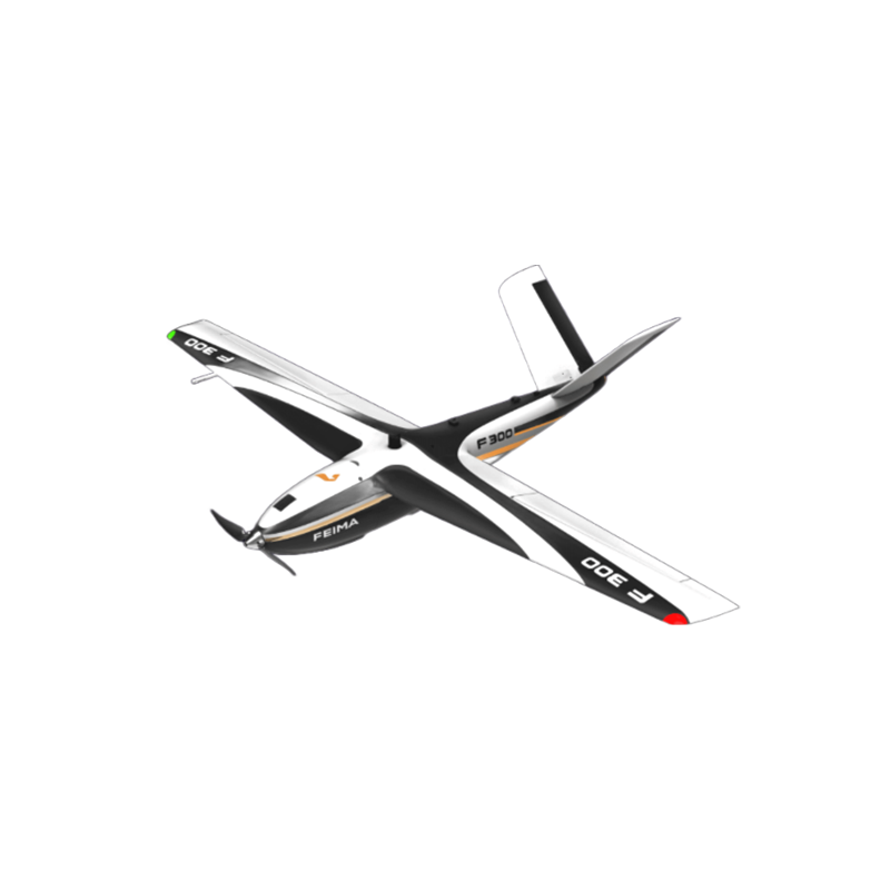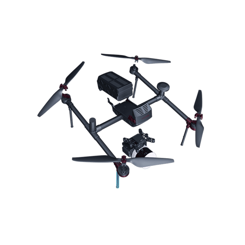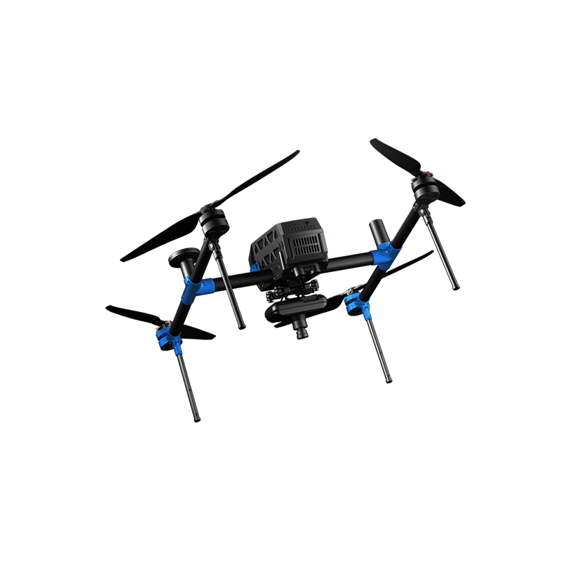
Effective Digital Mapping Solutions for Factories and Industrial Operations in China
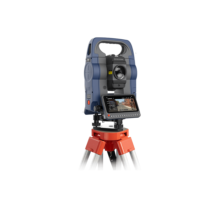
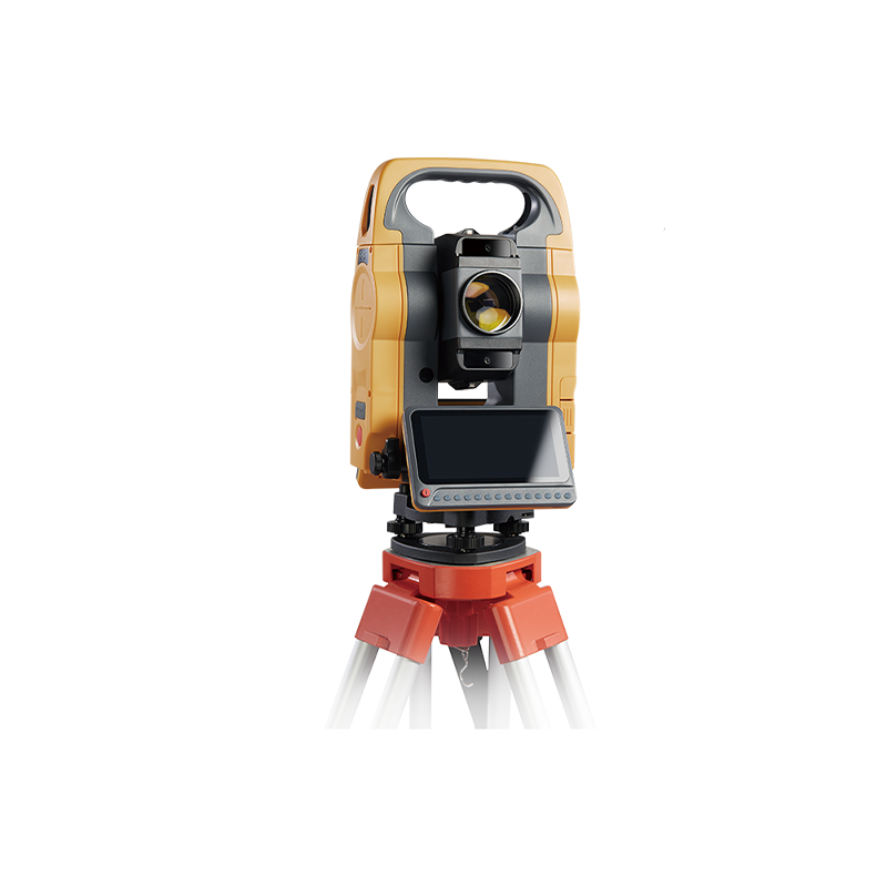
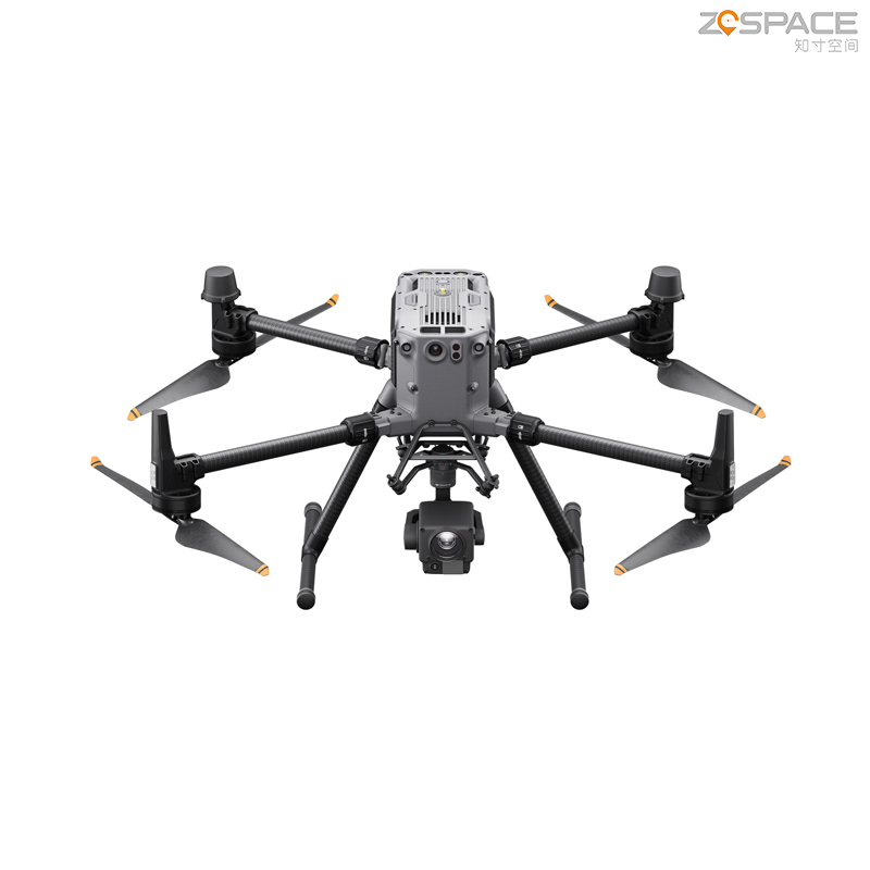
At Chengdu Zhicun Space Surveying Instrument Co., Ltd., we are transforming geographical data visualization and analysis through advanced digital mapping solutions. Our cutting-edge technology delivers precise, real-time geospatial information suitable for a wide range of applications, including urban planning and environmental assessments. By combining high-resolution imagery with robust analytical tools, our products empower users to uncover valuable insights into spatial relationships and trends. Designed with user-friendly interfaces and backed by comprehensive support, our digital mapping solutions seamlessly integrate into workflows for professionals in surveying, construction, and natural resource management. With a firm commitment to quality and accuracy, Chengdu Zhicun ensures on-time delivery of reliable data. From city mapping to land surveys, our instruments guarantee the precision needed for informed decision-making, elevating project outcomes with unparalleled effectiveness.