Overcoming Challenges in Efficiently Using Dji UAV Drones for Aerial Surveying
The integration of Dji UAV drones into aerial surveying has revolutionized the industry, allowing for unprecedented accuracy and efficiency in data collection. According to a report by MarketsandMarkets, the global drone service market is expected to grow from $4.4 billion in 2020 to $63.6 billion by 2025, highlighting the increasing reliance on drone technology for various applications, including surveying.
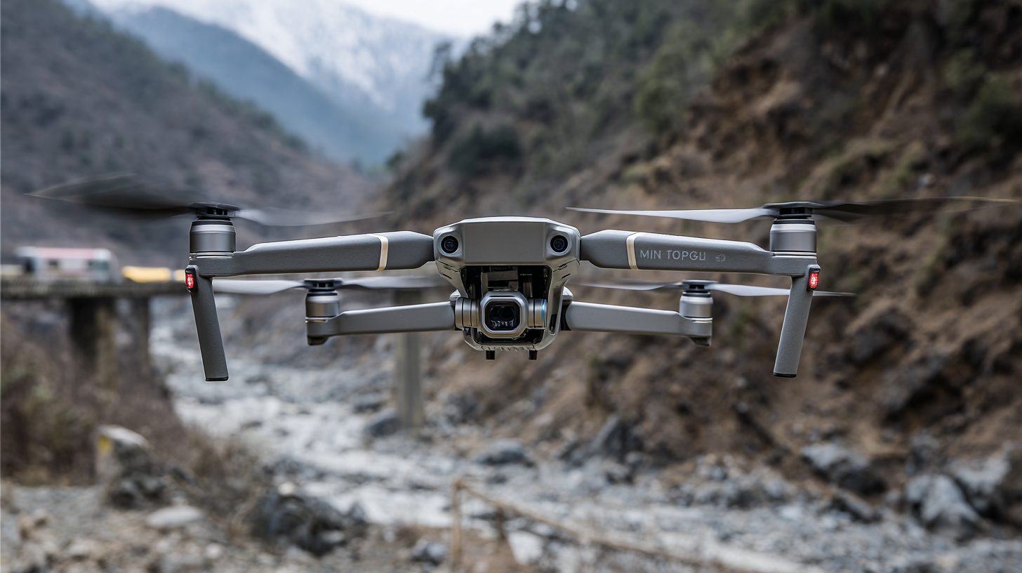
Dji UAV drones, known for their innovative technology and user-friendly interfaces, are at the forefront of this transformation, enabling professionals to navigate complex terrains and collect high-resolution imagery with ease. However, despite their advantages, challenges such as regulatory compliance, data management, and operational costs remain significant barriers to widespread adoption.
As we explore strategies to overcome these challenges, it becomes crucial to understand the future potential and impact of Dji UAV drones in reshaping aerial surveying practices across various sectors.
Identifying Common Challenges in Aerial Surveying with DJI UAV Drones
When leveraging DJI UAV drones for aerial surveying, several common challenges can arise, impacting efficiency and data quality. One primary issue is regulatory compliance. According to the Federal Aviation Administration (FAA), as of 2023, there are over 1.7 million registered drones in the U.S., but many operators still struggle to navigate the complex airspace regulations. This can lead to operational delays and added costs, especially in urban areas where airspace is congested.
Another significant challenge is data processing and analysis. A recent report from DroneDeploy indicates that while 80% of drone users find UAVs beneficial for capturing data, 60% express difficulties in translating that data into actionable insights. This gap results from the need for advanced software tools and training, which many companies may lack. As the industry moves towards automation and AI integration, addressing these processing challenges is essential for improving overall productivity and ensuring accurate survey results. Therefore, understanding these common hurdles is crucial for professionals aiming to optimize their aerial surveying efforts with DJI UAV drones.
Effective Strategies for Maximizing DJI Drone Performance in Surveys
The use of unmanned aerial vehicles (UAVs) for aerial surveying has gained significant momentum, particularly with recent news of a large-scale acquisition of drones for military applications. Such developments underscore the evolving role drones play in various sectors, including defense and survey missions. To maximize the performance of UAVs like the latest models made by a renowned Chinese manufacturer for survey tasks, it's essential to employ effective strategies.
One tip for enhancing drone performance during surveys is to conduct thorough pre-flight checks. This includes ensuring that the drone's firmware is updated, the batteries are fully charged, and the surveying equipment is properly calibrated. A meticulous pre-flight checklist can help avoid technical setbacks that could impede aerial data collection.
Another crucial aspect is optimizing flight plans. Researchers and surveyors should utilize software that allows for precise mapping and efficient route planning. By adjusting altitude and speed based on environmental factors and survey objectives, operators can capture high-quality imagery while extending flight time. These tactics not only improve the efficiency of aerial surveys but also contribute to obtaining accurate and reliable data for analysis.
Understanding the Key Benefits of Utilizing DJI Drones for Aerial Data Collection
Utilizing DJI drones for aerial data collection has revolutionized various industries, providing efficient and cost-effective solutions for surveying tasks. According to a report from MarketsandMarkets, the global drone services market is projected to reach $63.6 billion by 2025, with a significant portion attributed to aerial surveying. DJI drones, renowned for their advanced imaging capabilities and intelligent flight features, are at the forefront of this growth, enabling data collection with unparalleled accuracy and speed.
One of the key benefits of using DJI drones is their ability to cover large areas quickly, significantly reducing the time required for traditional surveying methods. A study published by the Journal of Unmanned Vehicle Systems indicated that using drones can reduce survey time by up to 80%. This efficiency not only lowers labor costs but also enhances project turnaround times, allowing for faster decision-making. Furthermore, DJI's innovative technology provides high-resolution imagery and 3D mapping capabilities, which are essential for industries ranging from agriculture to construction, facilitating precise analysis and informed planning.
Overcoming Challenges in Efficiently Using DJI UAV Drones for Aerial Surveying - Understanding the Key Benefits of Utilizing DJI Drones for Aerial Data Collection
| Challenge |
Solution |
Benefit |
Data Accuracy (%) |
| Limited Flight Time |
Utilize multiple batteries and quick swap systems |
Extended operational range |
95 |
| Weather Conditions |
Use drones capable of operating in high winds |
Increased flight capability |
90 |
| Regulatory Compliance |
Stay updated with local UAV regulations and obtain permits |
Legal operational frameworks |
N/A |
| Data Processing |
Utilize software for automated data analysis and mapping |
Faster deliverables and improved insights |
98 |
| Cost Management |
Invest in durable drones and training programs |
Long-term cost savings and enhanced skillsets |
N/A |
Integrating Advanced Software Solutions for Enhanced DJI Drone Efficiency
As drone technology continues to evolve, integrating advanced software solutions is crucial for enhancing the efficiency of DJI UAVs in aerial surveying. These software solutions not only streamline data collection but also optimize flight patterns, which can save time and resources during survey projects. Implementing programs that automatically plan flights based on terrain and obstacle data can significantly improve accuracy and reduce the risk of mishaps.
Tips for maximizing DJI drone efficiency include utilizing mapping software that creates pre-defined flight paths tailored to project specifications. This minimizes the need for manual control and allows operators to focus on data collection rather than navigation. Additionally, employing post-processing software can facilitate real-time adjustments and provide improved insights from the captured aerial imagery.
Another essential tip is to ensure that your drone's firmware and software are consistently updated. The latest software often includes enhanced features and optimizations that can significantly boost performance. Regularly reviewing available updates helps maintain the drone’s functionality and ensures that you’re utilizing the best tools for efficient aerial surveying.
Real-World Success Stories: Overcoming Obstacles in UAV Aerial Surveying
The use of DJI UAV drones for aerial surveying has transformed the way we collect and analyze data in various industries. However, the journey to effectively utilize these advanced tools isn't without challenges. For instance, a construction company faced significant delays due to unpredictable weather conditions impacting flight times. By implementing a robust weather-monitoring system and scheduling flights during optimal conditions, they successfully minimized downtime, showcasing how adaptability can turn a hurdle into a stepping stone.
Another real-world success story comes from an environmental research team conducting habitat mapping in a remote area. Initially, they struggled with limited battery life and operational range, which restricted their surveying capabilities. They overcame this obstacle by investing in additional battery packs and portable charging stations, enabling them to conduct more extensive surveys without the fear of equipment failure. This creative problem-solving approach not only improved data collection efficiency but also highlighted the importance of thorough planning and resource management in UAV operations.